More about Minnesota State
Some Geography
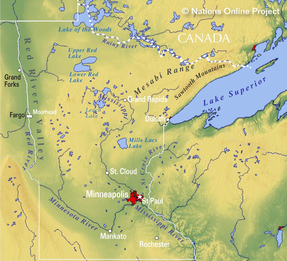 Topographic Regions Map of Minnesota. (Click the map to enlarge)
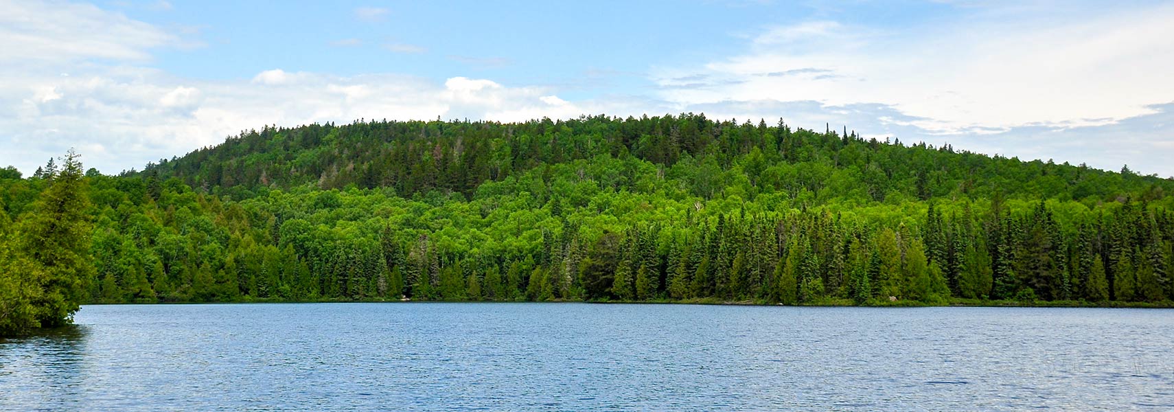
Minnesota's landscape is characterized by its diverse natural beauty. The state is known for its vast forests, numerous lakes, and rolling plains. The northern part of Minnesota features dense pine forests, rocky shores along
Lake Superior, and rugged terrain. To the south, the landscape changes to fertile farmland with expansive fields of corn and soybeans. Minnesota is known as the "Land of 10,000 Lakes," with countless pristine lakes scattered across the state, offering opportunities for boating, fishing and recreational activities.
Area
Minnesota occupies an
area of 225,181 km² (86,939 sq mi)
[1], compared it is somewhat smaller than
Romania (238,391 km²) or just slightly larger than the US state of
Utah. The state would fit into
Texas about three times.
Mountains
In the
Arrowhead Region, a triangle-shaped region in the northeastern part of the state, is Minnesota's only mountain range, the
Sawtooth Mountains, a series of hills and small mountains on the North Shore of Lake Superior.
Northwest of the Sawtooth Mountains lies a major iron ore mining area of the United States, the
Mesabi Range, collectively known as the Iron Range; it is the largest of three iron ranges in northern Minnesota.
Highest point
The highest point is "
Eagle Mountain" at 701 m (2,301 ft), part of the
Misquah Hills, located in the northeastern corner of the state.
Lakes
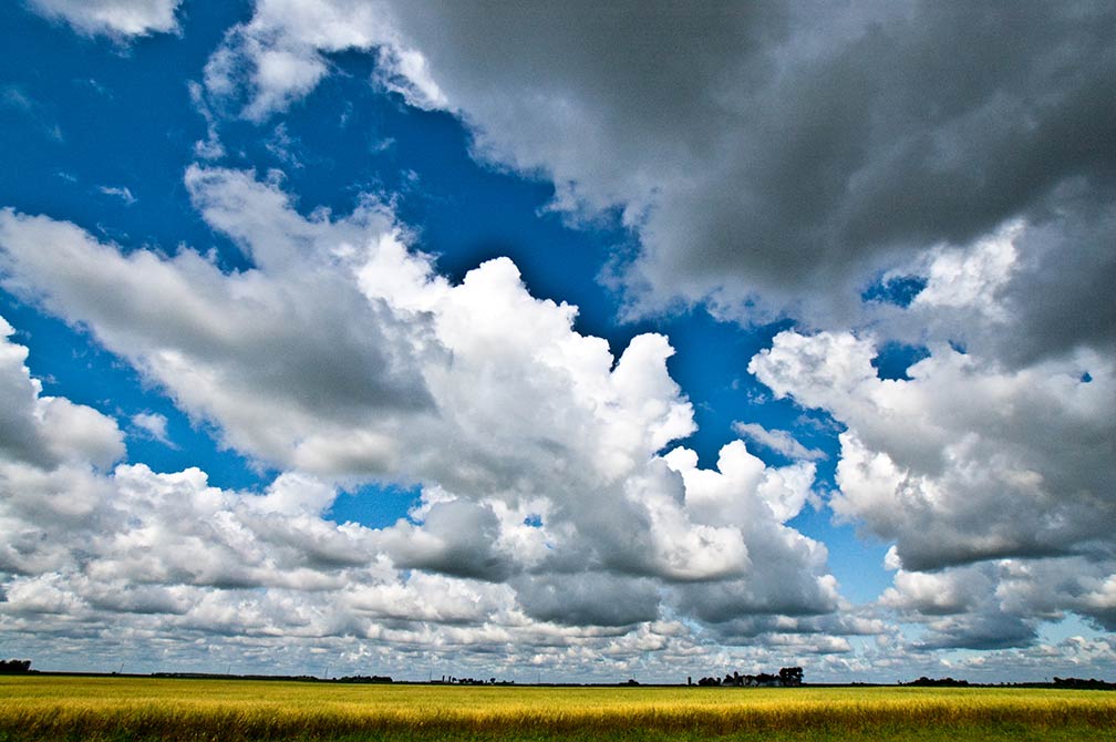
Minnesota landscape in lake-rich Kandiyohi County.
Image: noshaThe "Land of 10,000 Lakes" is abundant with water, the state counts exactly 11,842 lakes, which are larger than ten acres (40,000 m²) in size.
Some of the largest lakes besides
Lake Superior are the
Lake of the Woods (partly in
Canada), the
Leech Lake,
Mille Lacs,
Lake Winnibigoshish, and the
Upper and Lower Red Lake.
Lake Itasca, a small glacial lake, is the source of North America's longest river, the Mississippi.
Rivers
Besides the Mississippi, other major rivers are the
Red River (aka Red River of the North), which forms the border with North Dakota and a short section of the border with South Dakota. The
Rainy River defines a long section of the United States border with Canada, separating north eastern Minnesota and Northwestern Ontario. The
Minnesota River and the
St. Croix River are both tributaries of the Mississippi River.


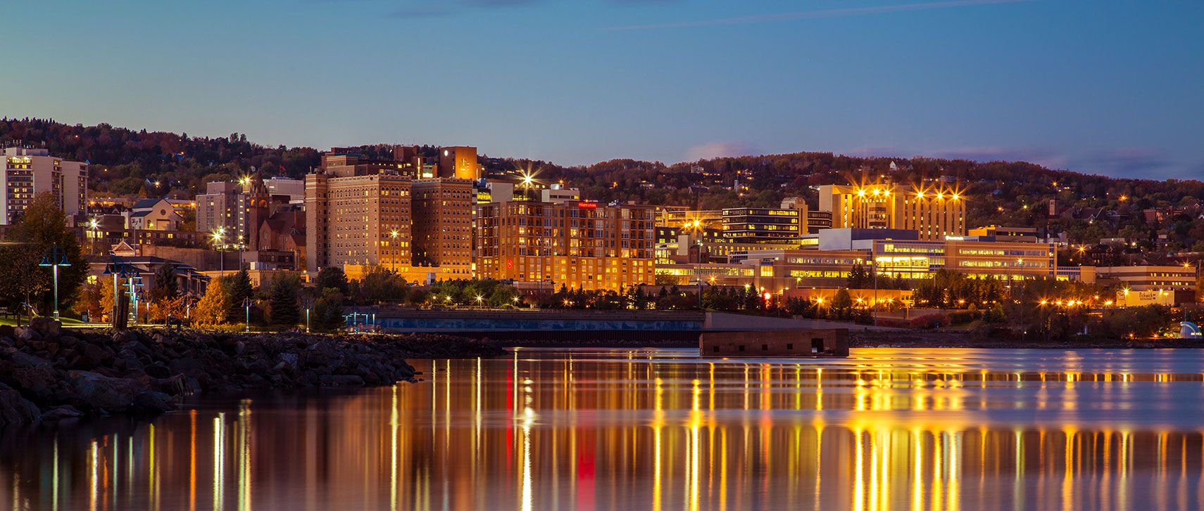 Lakefront skyline of Duluth, a major port city at Lake Superior in Minnesota.