Nations Online
All Countries in the World
|
One Planet Nations Online All Countries in the World | |
Home  |
___ Satellite View and Map of the City of Portland, Oregon (45-degree view available) |
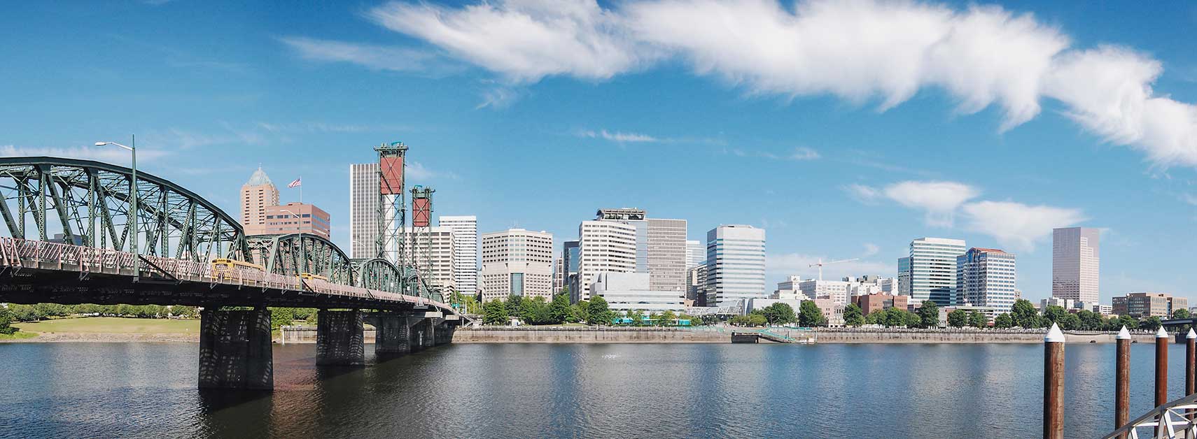
 In foreground the Hawthorne Bridge spanning the Willamette River in Portland, Oregon, view from the Eastbank Esplanade. Image: Eric Baetscher |
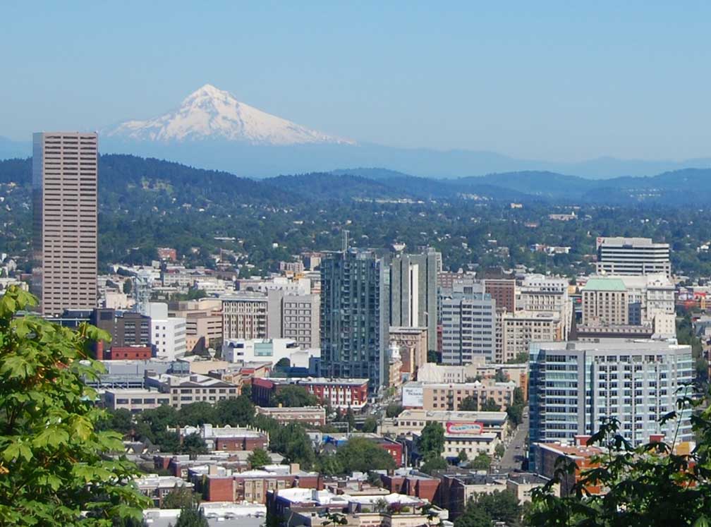
About the City of Portland Satellite view showing Portland, largest city in Oregon in the Satellite view showing Portland, largest city in Oregon in the  "The mountain is out" - City of Portland with Mt. Hood in background. The stratovolcano with an elevation of 11,249 ft (3,429 m) is located in the Cascade Volcanic Arc, about 98 mi (158 km) by road, east-southeast of Portland. Photo: Amateria1121 The 'City of Roses' is regarded as one of the greenest places to live, Portland is ranked No. 2 (of 15 int. cities) at Grist Magazin (behind Reykjavik, Iceland) for its approach to urban planning and outdoor spaces. Grist: "Portland is the first U.S. city to enact a comprehensive plan to reduce CO2 emissions and has aggressively pushed green building initiatives." Portland, Oregon points of interest: Some of the Portland's major attractions are: the Portland Japanese Garden, Lan Su Chinese Garden, Oregon Zoo, Portland Art Museum, Oregon Museum of Science and Industry (OMSI), and the Museum of Contemporary Craft. If you're a book lover, you can get lost in Powell’s City of Books, a bookstore covering an entire city block. The page shows a city map of Portland with expressways, main roads and streets, and the location of Portland International Airport (IATA code: PDX) 11.5 mi (18.5 km) by road northeast of downtown Portland. Just zoom in to see Downtown Portland. To find a location use the form below. To view just the map, click on the "Map" button. |
|
| To find a location type: street or place, city, optional: state, country. |
Local Time Portland:
Monday-April-22 15:05
Standard time zone Pacific Standard Time (PST): UTC/GMT -8 hoursPacific Daylight Time (PDT) in use from the second Sunday in March, ends on the first Sunday in November; time zone offset: UTC/GMT -7 hours |
|
φ Latitude, λ Longitude (of Map center; move the map to see coordinates): , |
||||||
| Sorry! Google's pricing policy has made it impossible for us to continue showing Google Maps. We apologize for any inconvenience. Google Map: Searchable Map of the City of Portland, Oregon, USA. City Coordinates: 45°31′12″N 122°40′55″W |
Bookmark/share this page
|
|||||
| More about Oregon and the USA: Other Cities in Oregon: State of Oregon: U.S. Cities: U.S. States: Country: Continent: |
Weather Conditions Portland External Links: City of Portland (Official city web site) Travel Portland (Tourist & Vacation Information) Newspapers: The Oregonian Local news. Wikipedia: Portland, Oregon |
Explore more:
Related Consumer Information:
|
||||
One World - Nations Online .:. let's care for this planet Promote that every nation assumes responsibility for our world. Nations Online Project is made to improve cross-cultural understanding and global awareness. More signal - less NOISE |
| Site Map
| Information Sources | Disclaimer | Copyright © 1998-2023 :: nationsonline.org |