Nations Online
All Countries in the World
|
One Planet Nations Online All Countries in the World | |
Home  |
___ Satellite View and Map of the City of New York, NY, USA (45-degree view available) |
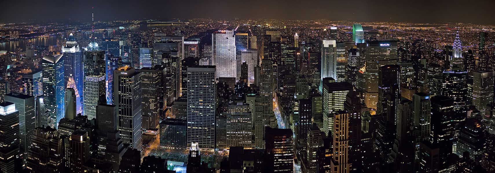
 The New York City Midtown (Manhattan). Image: David Iliff |
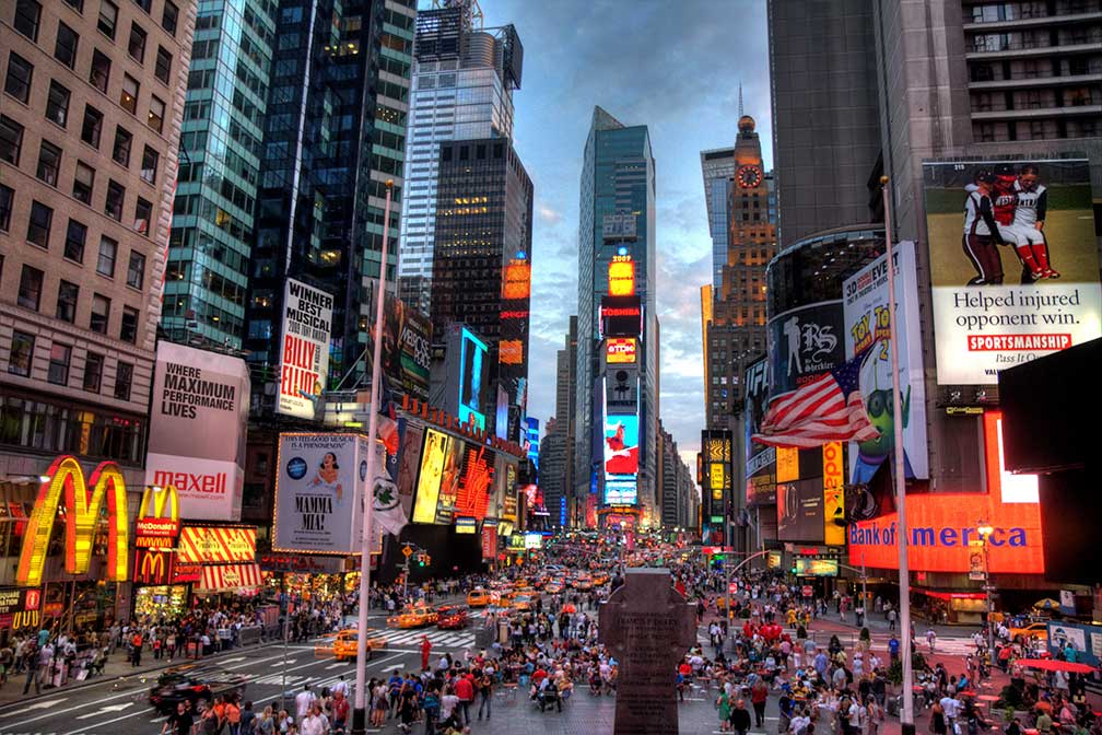
About New York City Satellite view showing New York City, nickname Big Apple, located in New York State on the Atlantic coast at the mouth of the Hudson River. It is situated mainly on islands, linked by bridges, and consists of five boroughs: Manhattan, Brooklyn, Queens, the Bronx, and Staten Island (formerly Richmond), it is the most populous city in the United States and one of the most populated cities in the world. Satellite view showing New York City, nickname Big Apple, located in New York State on the Atlantic coast at the mouth of the Hudson River. It is situated mainly on islands, linked by bridges, and consists of five boroughs: Manhattan, Brooklyn, Queens, the Bronx, and Staten Island (formerly Richmond), it is the most populous city in the United States and one of the most populated cities in the world.  Times Square, the 'Crossroads of the World', is a major intersection at the junction of Broadway and Seventh Avenue. Image: Terabass New York City itself has a population of 8.3 million inhabitants, just under 20 million people live in the New York metropolitan area. This means, in NY there live more people than in all of Chile or the Netherlands. Just zoom in (+) to discover the Empire State Building, one of the most famous skyscrapers. The page shows a city map of New York with expressways, main roads and streets. Plane-symbols mark New York's three main airports: LaGuardia Airport (IATA Code: LGA), John F. Kennedy International (IATA Code: JFK), and Newark International (IATA Code: EWR). To find a NYC location use the form below. To view just the map, click on the "Map" button. |
|
| To find a location type: street or place, city, optional: state, country. |
Local Time New York City:
Sunday-April-21 2024 10:47
Standard time zone Eastern (EST): UTC/GMT -5 hoursDaylight Saving Time (EDT) in use from the second Sunday in March, ends on the first Sunday in November; time zone offset: UTC/GMT -4 hours |
One World - Nations Online .:. let's care for this planet Promote that every nation assumes responsibility for our world. Nations Online Project is made to improve cross-cultural understanding and global awareness. More signal - less NOISE |
| Site Map
| Information Sources | Disclaimer | Copyright © 1998-2023 :: nationsonline.org |