About Charleston
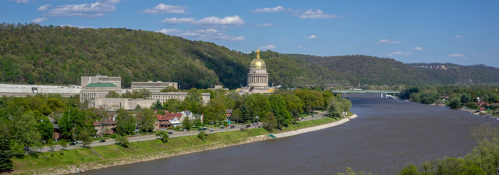
The satellite view shows Charleston, the capital and largest city of the State of
West Virginia, a landlocked state situated in the central eastern
 United States
. The town lies in the foothills of the Allegheny Mountains; it is located in the Kanawha Valley at the site where the Elk River joins the Kanawha River in the south-central part of the state. The nearest large cities are
Cincinnati, Ohio (200 mi) and
Columbus, Ohio. From Charleston to
Washington D.C. it is a one-hour flight to the east.
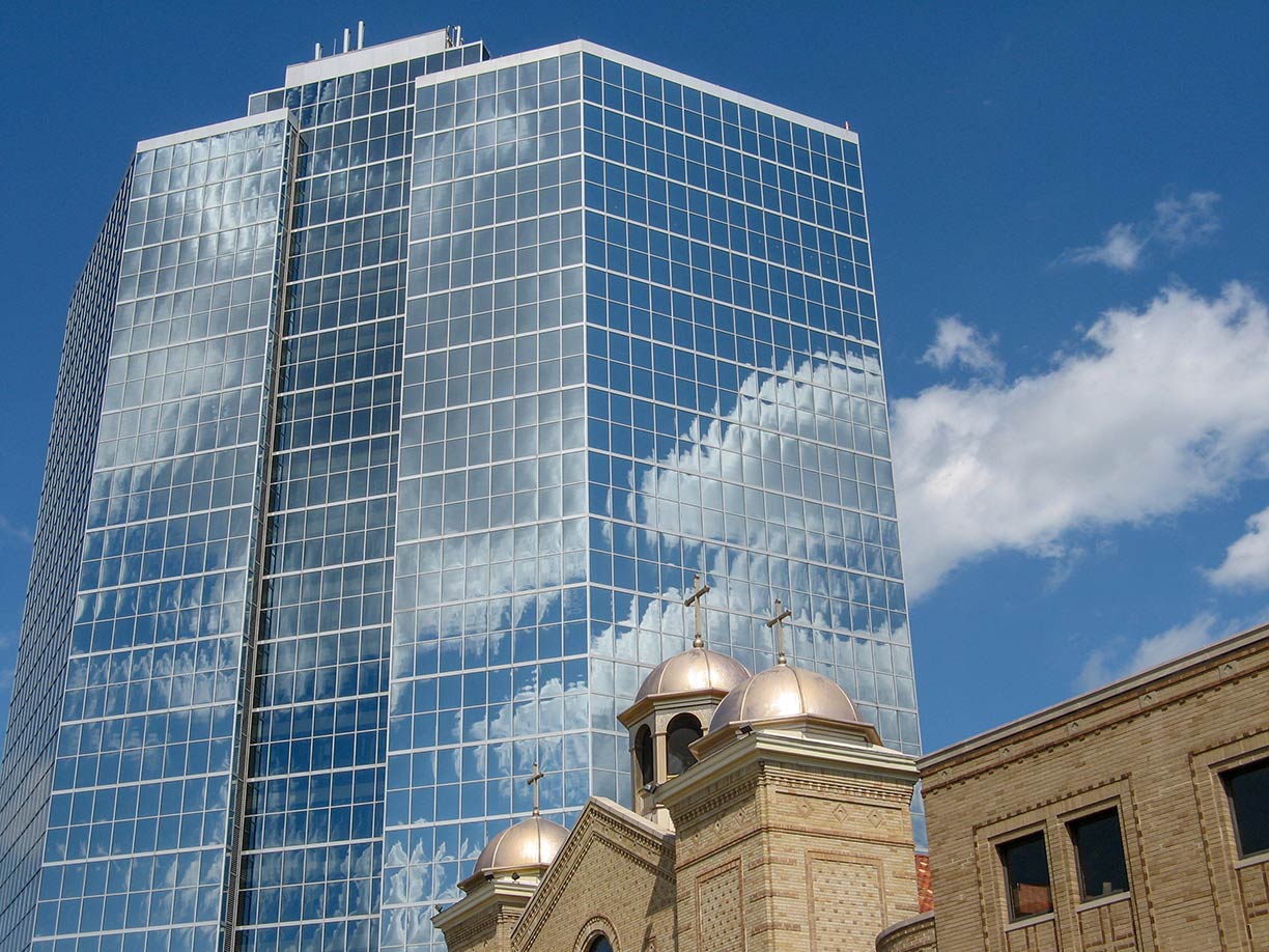 The Laidley Tower office building and St George Antiochian Orthodox Cathedral.
Image: Snoopywv
With the outbreak of the Civil War, Virginia seceded from the Union in 1861, while the western part of Virginia decided to stay with the Union. Three years later, in June 1863, West Virginia became the 35th state in the Union, and Charleston became finally West Virginia's capital in 1877.
Today, Charleston is the most populous city in West Virginia with a population of about 48,000 inhabitants; 222,000 people live in the greater metropolitan area (in 2018).
Charleston is the center of government, commerce, and industry of Kanawha County. The city's economy relies on services in the fields of health care, education, trade, scientific and technical services, and public administration.
The city is home to a branch campus of
West Virginia University (
www.wvu.edu), the
West Virginia State University (
www.wvstateu.edu), a historically black public university located in Institute in the Charleston-metro area, and the
University of Charleston (
www.ucwv.edu), a private college.
Charleston's cultural highlights:
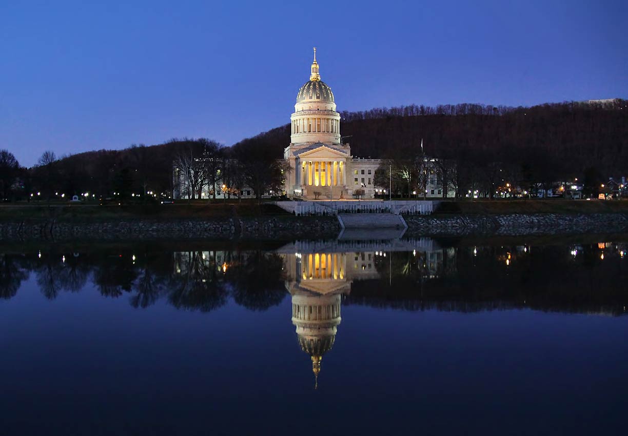 West Virginia State Capitol building, the seat of government for the U.S. state of West Virginia. It houses the West Virginia Legislature and the office of the Governor of West Virginia.
Image: O Palsson
The
West Virginia State Capitol was built between 1924 and 1932; it is the seat of the government of West Virginia. The building houses the bicameral
West Virginia Legislature (
www.wvlegislature.gov) and the office of the Governor of West Virginia.
The
West Virginia Division of Culture and History (
www.wvculture.org) operates five historic sites and museums including the West Virginia State Museum.
The
Clay Center (
www.theclaycenter.org) for the Arts and Sciences is a complex for performing arts, visual arts, and the sciences.
Within the center is the Caperton Planetarium, and two main performance venues, The Maier Foundation Performance Hall and the Walker Theater.
The center houses the
Juliet Art Museum and the
Avampato Discovery Museum, besides being a kid's museum, the discovery museum houses also a collection of primarily 19th, 20th and 21st-century American art (
www.avampatoart.com).
The center is also the venue for the
West Virginia Symphony Orchestra (
wvsymphony.org) which performs classical, pops, and chamber music concerts.
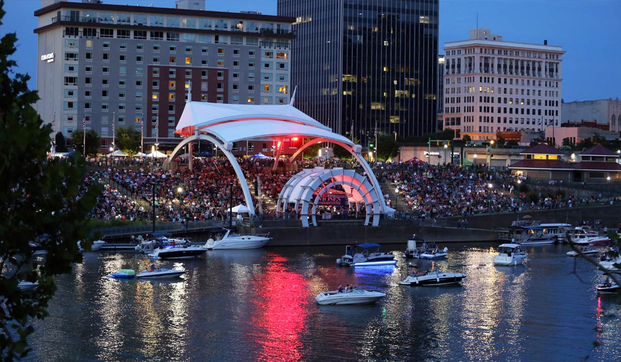 Summer outdoor concert series Live on the Levee at Haddad Riverfront Park in Charleston.
Image: Live on the Levee
The
Charleston Civic Center (
www.charlestonwvciviccenter.com) is a municipal complex and the venue for various events and fairs throughout the year.
The
center comprises of the
Charleston Convention Center, the
Civic Center Coliseum arena, the Art Deco architectural style
Municipal Auditorium, the
Children's Theatre of Charleston (
www.ctoc.org), the official West Virginia Children's Theatre, and the
Little Theater.
Charleston Light Opera Guild (
charlestonlightoperaguild.org) conducts its performances in the former Weekley Memorial church.
Live on the Levee (
liveontheleveecharleston.com) is Charleston's favorite free Summer outdoor concerts.
Churches:
Charleston Baptist Temple (
www.chasbt.org) is a two-story brick church and a National Historic Place built in 1924.
Shopping:
Charleston Town Center (
www.charlestontowncenter.com) is a two-stories shopping mall downtown.
Shops at Kanawha (
www.shopsatkanawha.com) is a shopping mall in the Kanawha City section of Charleston.
Parks:
Coonskin Park, the park along Elk River offers nature trails, a golf course, a soccer field, a pond, and a skatepark.
Daniel Boone Park is a park at the Kanawha River, opens daylight, closes at dusk.
Davis Park is a small city park in downtown Charleston.
Kanawha State Forest (
www.kanawhastateforest.com), the state park south of Charleston comes with an extensive network of hiking and biking trails, several picnic areas, a public shooting range, 46 campsites, and fishing opportunities at the Ellison Pond. Beware of hunters in the area.
Just zoom in to see West Virginia State Capitol, the seat of the government for West Virginia.
The map shows a city map of Charleston with expressways, main roads, and streets, and the location of
Yeager Airport (
IATA code: CRW), about three miles (5 km) east of the town center.
To find a location use the form below.

