About Raleigh
The
Satellite view shows Raleigh, the "City of Oaks", second most populous city and capital of the
North Carolina, a state in the eastern central
 United States
 with a coastline on the Atlantic Ocean. The city is the seat of Wake County, located 140 mi (225 km) northeast of
Charlotte and 280 mi (450 km) southwest of
Washington D.C. in central North Carolina.
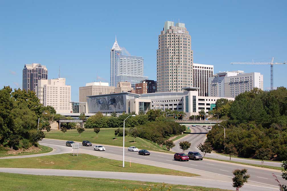 Downtown Raleigh, view from Western Boulevard overpass.
Image: Mark Turner
England's first attempt to colonize the New World was a miserable failure.
In the late 16th-century, by the charter of Queen Elizabeth I, Sir Walter Raleigh was about to found an English settlement on North Carolina's coast, albeit Raleigh himself never visited North America.
In 1587, a group of colonists led by John White, a friend of Raleigh and the future governor of the new colony, landed on Roanoke Island to establish the "Cittie of Raleigh".
The settlers’ food supplies soon began to grow short; the hungry colonists pressed White to return to England to get help.
White left the island for England, and 115 settlers were more or less left alone in the coastal wilderness of the continent, among them Virginia Dare, the first English child born in the New World.
Due to misfortune (lousy weather, pirates, hostile Spaniards) White only was able to return to Roanoke Island three years later and found the settlement had been long deserted. This abandoned site became known as the "Lost Colony."
200 years later, subsequent English settlers had put down roots in North Carolina and became US citizens.
In 1792, the North Carolina legislature authorized the purchase of land to establish a capital city. Said and done, in the same year, Raleigh was founded as the capital of North Carolina. Two years later they built the State House. In 1800 Raleigh's population was 669.
Today Raleigh's
city population counts for about 450,000 inhabitants (est. 2015). The cities of Raleigh, Durham and Chapel Hill are forming one of the state's major urban areas, known as the "Research Triangle" with a population of more than 1.27 million people.
Raleigh's economy relies on banking and financial services; electrical, medical, electronic and telecommunications equipment; as well as clothing and apparel.
Major employers are the
State of North Carolina, Wake County Public School System, the North Carolina State University, WakeMed (hospitals), Rex Hospital (general hospital), and Red Hat (
www.redhat.com), a Linux and Unix software company.
Education:
The city is home to North Carolina State University (
www.ncsu.edu). The university forms one of the corners of the Research Triangle together with Duke University in Durham (
www.duke.edu) and The University of North Carolina at Chapel Hill (
www.unc.edu).
Museums:
Raleigh is home to three major state museums: The
North Carolina Museum of Art NCMA, the
North Carolina Museum of History, and the
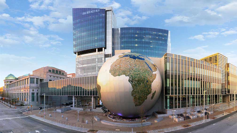
North Carolina Museum of Natural Sciences.
Other capital points of interest:
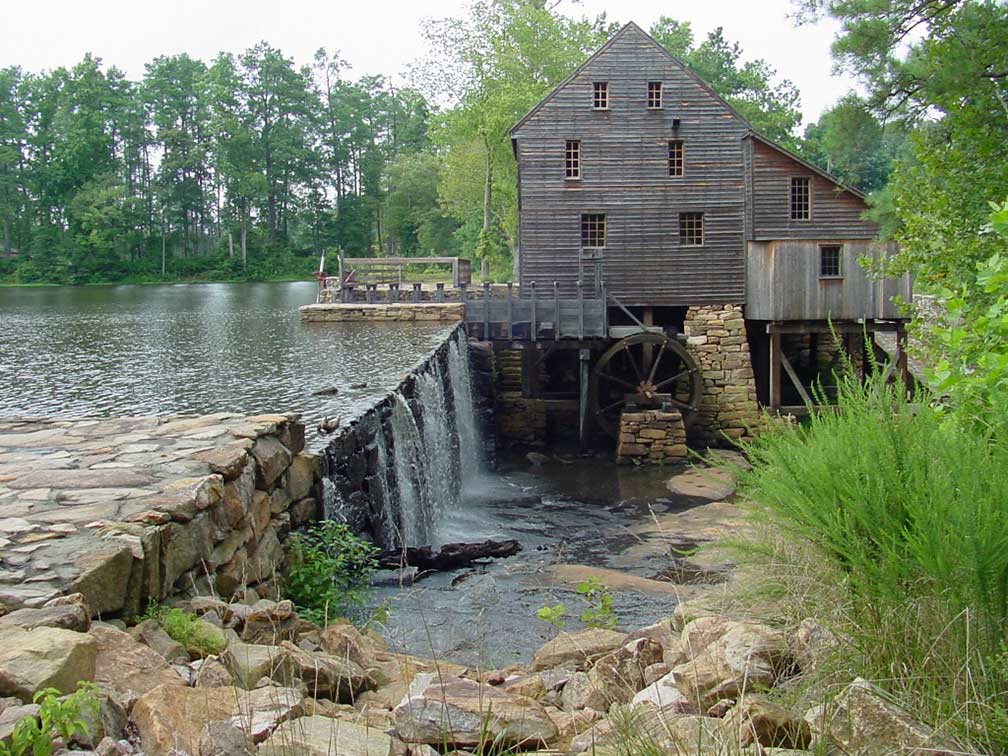 Yates Mill in Historic Yates Mill County Park in central Wake County, the landmark is fully restored and the only surviving operable gristmill from the mid 18th century.
Image: Vince DiNoto
Historic places:
North Carolina State Capitol (
www.ncstatecapitol.org) formerly the seat of the General Assembly (until 1963), it houses now offices of the Governor of NC.
Mordecai Historic Park (
www.raleighnc.gov/mordecai) Mordecai House is the oldest residence in Raleigh and the centerpiece of Mordecai Historic Park museum. The park also features the original birthplace of President Andrew Johnson, the 17th US President.
Churches:
St. Paul A.M.E. Church (
www.stpaulamechurchraleighnc.org) old American Gothic Revival style church built in 1884.
Performing arts:
Duke Energy Center for the Performing Arts (
www.dukeenergycenterraleigh.com), the center consists of several indoor and outdoor venues and is the stage for the North Carolina Symphony (
www.ncsymphony.org), North Carolina Opera (
www.ncopera.org), North Carolina Theatre (
nctheatre.com) and the Carolina Ballet (
www.carolinaballet.com).
Raleigh Little Theatre (
raleighlittletheatre.org) is a community theater with a comprehensive youth and adult theatre education program.
Children's Museum:
Marbles Kids Museum (
www.marbleskidsmuseum.org), Ready Set Learn - hands-on, minds-on children's museum with an IMAX Theater.
Convention center:
Raleigh Convention Center (
www.raleighconvention.com) Raleigh's convention and exhibition complex.
Amphitheaters:
Red Hat Amphitheater (
www.redhatamphitheater.com), modern amphitheater and concert venue with a seating capacity of about 6,000.
Coastal Credit Union Music Park (
walnutcreekamphitheatre.com), the Walnut Creek Amphitheater hosts large concerts.
Shopping:
Triangle Town Center (
www.triangletowncenter.com), a shopping mall in North Raleigh.
Crabtree Valley Mall (
crabtree-valley-mall.com) is the largest enclosed mall in the Triangle.
Planetarium:
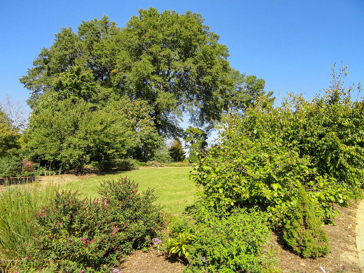 JC Raulston Arboretum.
Image: Daderot
(
moreheadplanetarium.org) is among the oldest and largest planetariums in the United States; it is located on the UNC campus at Chapel Hill.
Parks:
Pullen Park is a public park with a pond; it lies adjacent to the campus of North Carolina State University.
JC Raulston Arboretum (
jcra.ncsu.edu) an arboretum and botanical garden with one of the largest and most diverse collections of landscape plants adapted for landscape use in the Southeast.
William B Umstead State Park (
park info) North Carolina state park offers hiking, bridle paths and bike trails, boat rentals, camping, picnic areas, and educational programs.
Events:
North Carolina State Fair (
www.ncstatefair.org), the annual fair and agricultural exhibition in Raleigh.
Sports:
The
PNC Arena (
www.thepncarena.com) is an indoor arena for basketball, ice hockey, and concerts.
J. S. Dorton Arena on the grounds of the North Carolina State Fair is a multi-purpose arena, host to sporting events, concerts, political rallies, dog shows, and circuses.
Carter–Finley Stadium is an American football stadium, home to the NC State Wolfpack football team.
NC State Athletics (
gopack.com) The official website for the North Carolina State University Wolfpack athletics.
Just zoom in (+) to see the Capitol Area Historic District with North Carolina State Capitol, a National Historic Landmark and the main house of the government of the U.S. state of North Carolina.
The page shows a city map of Raleigh with expressways, main roads; and streets, zoom out to find
Raleigh-Durham International Airport (
IATA code: RDU) located in northwest 14 mi (23 km) by road, midway between the cities of Raleigh and Durham.
To find a location use the form below.

