More about Time Zones
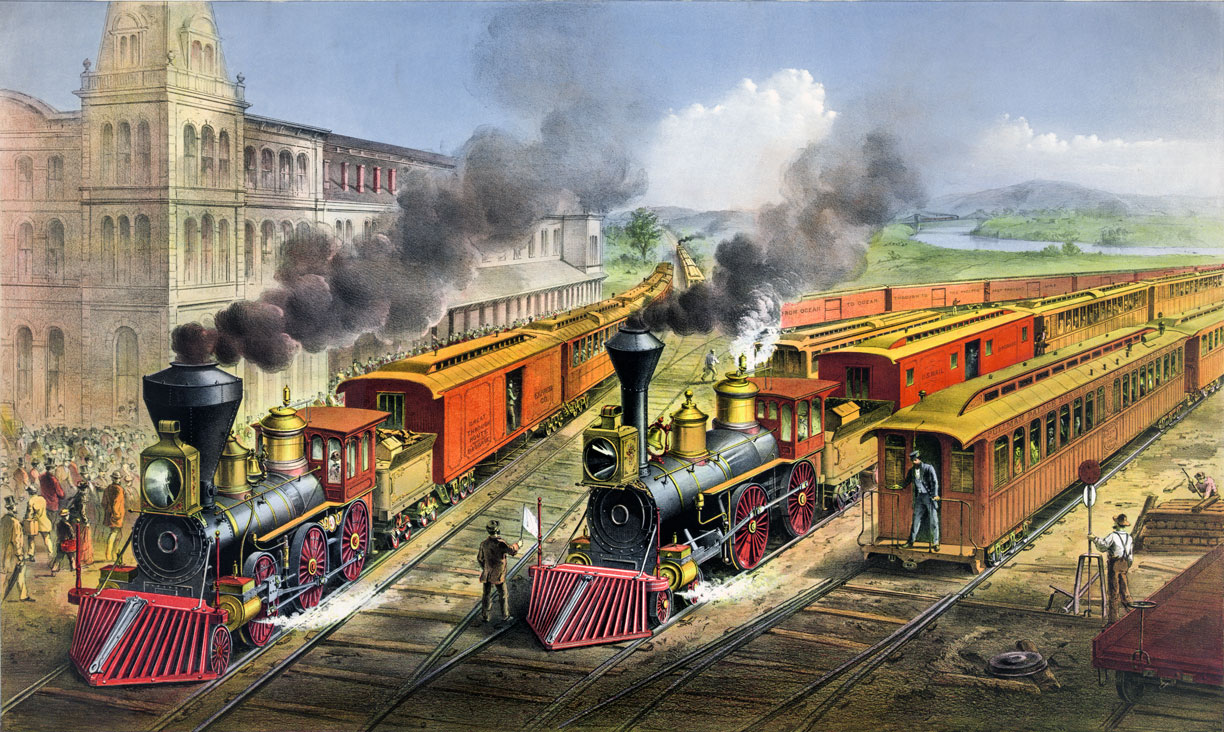
 One of the driving forces behind the development of time zones was the increasing use of faster modes of transportation in the late 19th and early 20th centuries. In the US, much of the national rail network was completed by 1900. In March 1918, Congress officially established the standard timekeeping system that is associated with this arrangement of time zones in the United States.
Image: American railroad scene: lightning express trains leaving the junction (Currier & Ives, 1874; New York)
As is well known, Earth is a sphere that is supplied with light and heat by the sun. Due to Earth's spherical shape, the sun's rays are most intense at the location nearest to the sun.
According to an ancient tradition, when on earth the sun is at its highest it is 12 o'clock, noon -- time for lunch.
Since the earth rotates on its axis, it is not also noon in other parts of the globe, but morning or evening or night.
Before the Industrial Revolution, when life was dominated by farming and artisan crafts, the times to sow, fertilize and harvest were important.
With the progress of technology and the sciences and as the world moved closer together through ever faster means of transport such as steamships and the railroad, people started to think about how to get the time problem under control.
Time zones are an invention of modern time. Before the creation of standard time zones, every place had its own time. With the spread of the telegraph and the construction of railroad networks in the 19th and early 20th centuries, communication and travel gained new dimensions - and new problems. Due to the lack of time standardization, it was difficult to coordinate train schedules on the mostly single-track lines; a signal at the wrong time could lead to fatal collisions.
However, the impetus for the introduction of standardized time did not come from the railroads alone. Astronomers and geophysicists, seeking simultaneous observations from scattered geographic locations, had long advocated a uniform time.
[LoC]
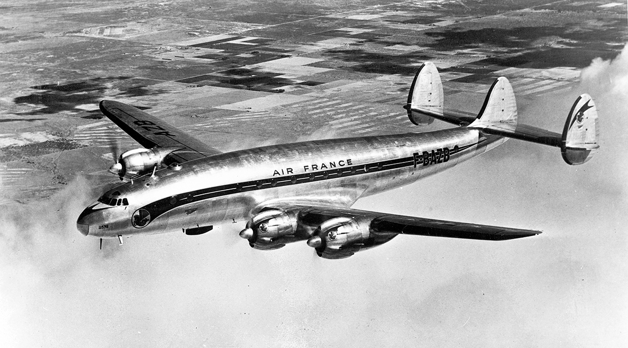
 Time zones became important in commercial air travel, especially for scheduling and coordinating flights.
An Air France Lockheed Constellation ("Connie") airliner built by Lockheed Corporation starting in 1943. Passenger plane travel in tourism between Europe and the US began to gain popularity in the post-World War II era, particularly in the 1950s and 1960s. The introduction of larger and more comfortable passenger aircraft such as the Boeing 707 and Douglas DC-8 made long-distance air travel more practical and affordable for a growing number of people.
In the early days of air travel, airlines used a variety of different time zones, which made scheduling and coordination difficult. However, by the 1950s, most airlines had adopted a system based on Coordinated Universal Time (UTC), which provided a standard reference point for time across the world.
Image: The U.S. National Archives
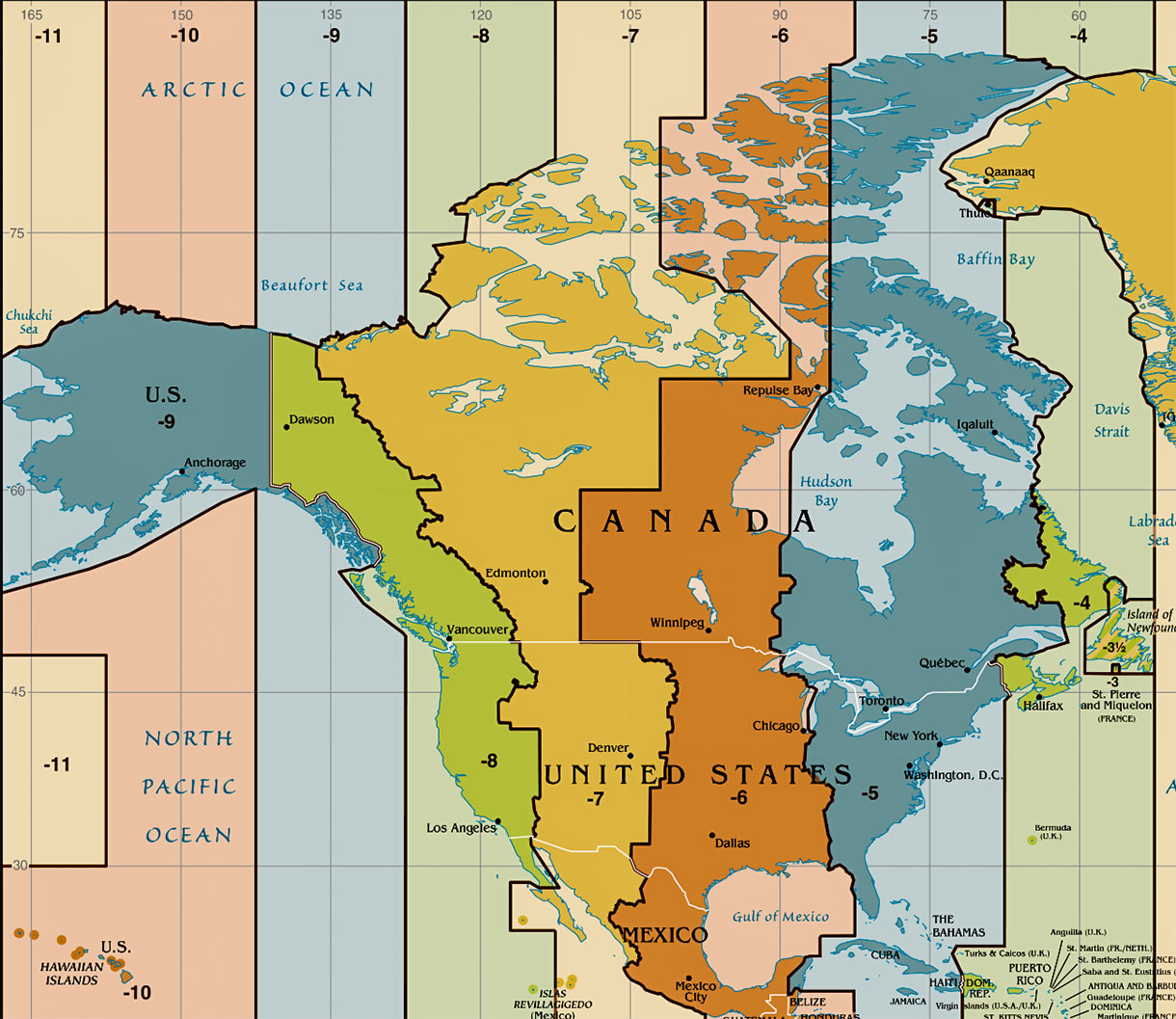
Before the introduction of time zones, there were between 140 and 300 different local time zones in North America. As the story goes, a missed train in Ireland by
Sandford Fleming led eventually to the creation of a coordinated
Universal Time for the whole planet. Fleming, a Scottish-born Canadian engineer, was one of the leaders in the effort to develop a worldwide system of keeping time. He proposed a system of time zones in 1879 and presented it at several international conferences.
The British already had a standardized time. In 1847, the national Railway Clearing Union ordered that Greenwich Mean Time (GMT) should apply at all railroad stations. The British Post Office transmitted time signals from Greenwich by telegraph to most parts of the country to set the clocks.
Since 1875,
Cleveland Abbe, an astronomer, meteorologist, and the first head of the U.S. Weather Bureau, had lobbied the American Meteorological Society (AMS) for a uniform standard time.
In October 1884, the
International Meridian Conference was held in Washington, D.C., "for the purpose of fixing upon a meridian proper to be employed as a common zero of longitude and standard of time-reckoning throughout the globe."
The standard timekeeping system associated with this arrangement of time zones was officially established in the United States by Congress in March 1918.
On 1 January 1960,
Coordinated Universal Time (UTC), the international basis of civil and scientific time, was introduced. The unit of UTC is the atomic second. UTC replaced Greenwich Mean Time (GMT), based on the motion of the Earth, as the World Standard for time in 1972.
Time zones have become an indispensable part of our interconnected world of global communication and transportation systems, allowing people to coordinate activities across long distances and reducing confusion and errors caused by differences in local times.


