One Planet Nations Online All Countries in the World |
![]() |
![]() ![]() ![]() |
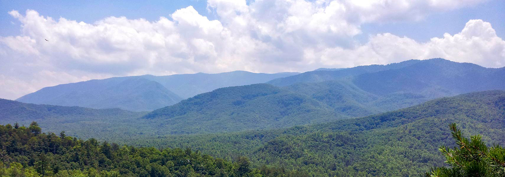
![]() The Great Smoky Mountains on the border with North Carolina are part of the Blue Ridge mountain range (Appalachian Mountains). Image: Evan Nichols |
___ Reference Maps of Tennessee (TN) |
About Tennessee![]() Time zone: Central
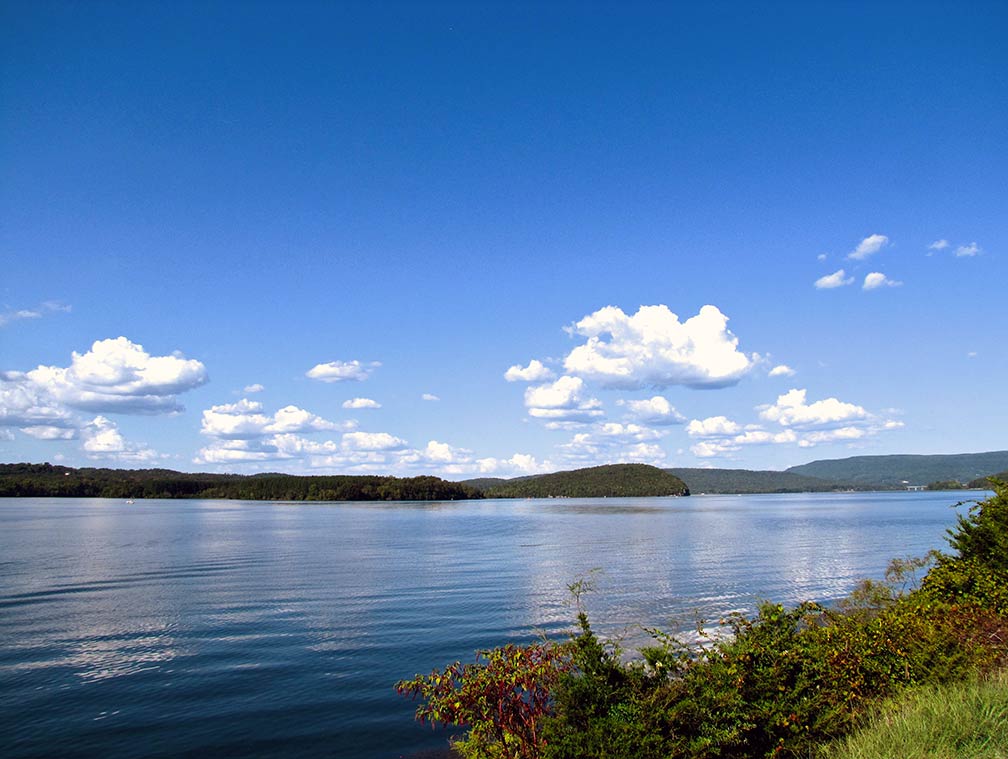
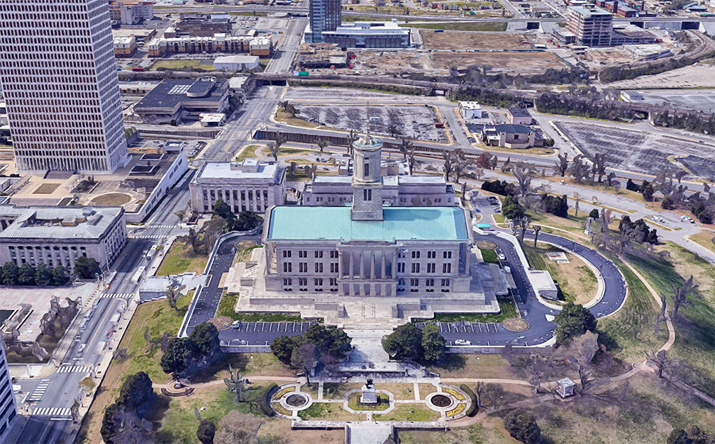
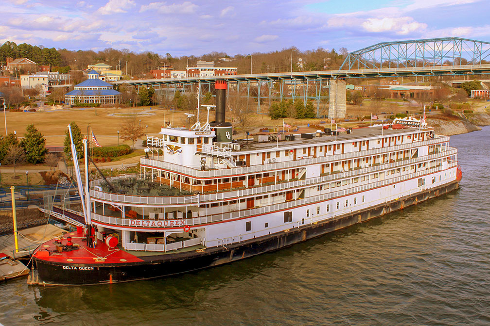
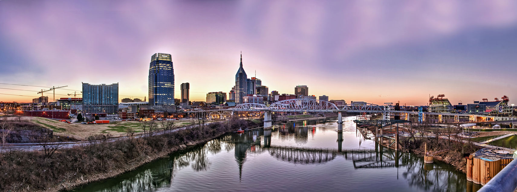
East Tennessee Eastern: UTC -5/DST-4 Middle and West Central: UTC -6/DST-5 Clock shows DST ![]() Where in the United States is Tennessee? Location map of Tennessee in the US. The area of Tennessee was originally part of North Carolina. In 1790 North Carolina ceded the area to the United States. Admission to the Union on 1st June 1796, it was admitted as the 16th state. Tennessee was the site of many Civil War battles, including those at Shiloh and Chattanooga. More about Tennessee ![]() Topographic Map of Tennessee showing the location of the Appalachian mountain range, the Ridge and Valley region, the Cumberland Plateau, and the Gulf Coastal Plain. (click map to enlarge) The Grand Divisions of Tennessee The state has its own special geographical and cultural feature, its called the "Grand Divisions of Tennessee". The three grand divisions are East, Middle, and West Tennessee. ![]() Nickajack Lake Tennessee is a reservoir created by Nickajack Dam on the Tennessee River. Image: Brian Stansberry East Tennessee is almost entirely in the Eastern Time Zone (see: US Time Zone Map) while the rest of the state uses Central Time. II. Middle Tennessee lies west of the Cumberland Plateau, it features rolling hills and fertile river valleys and the state capital Nashville as well as Tennessee's largest metro, the Nashville Metropolitan Area with 1.6 million people. III: Between Tennessee River and the Mississippi lies West Tennessee, a mostly agricultural region except for the state's second largest city Memphis. Highest elevation in the state is Clingmans Dome 2,025 m (6,643 ft), a mountain in the Great Smoky Mountains (part of the Blue Ridge) on the border with North Carolina in east. World Heritage Site Tennessee shares one UNESCO World Heritage Site with North Carolina. The Great Smoky Mountains National Park ![]() The park is home to the largest remnant of an Arcto-Tertiary geoflora that once covered the Northern Hemisphere, and it provides an indication of the appearance of late Pleistocene (Ice Age) flora. The main park entrance in Tennessee is at Gatlinburg, and in North Carolina at Cherokee. Population ![]() Rendered image of Tennessee State Capitol in Nashville. The National Historic Landmark building is home of the General Assembly of Tennessee. Image: Google Other major cities are Memphis, Knoxville, Chattanooga, Clarksville, and Murfreesboro. Busiest airports are Memphis International Airport (IATA code: MEM), and Nashville International Airport (Berry Field; IATA code: BNA). Cities and Towns in Tennessee The map shows the location of following cities and towns in Tennessee: ![]() The Delta Queen, a famous sternwheel steamboat and a National Historic Landmark. The riverboat was moored in Chattanooga, Tennessee serving as a floating hotel. Image: Brent Moore Memphis (672,000), Nashville (626,000), Knoxville (178,000), Chattanooga (167,000), Clarksville (133,000), Murfreesboro (109,000) Population figures est. 2014 Other cities and towns in Tennessee: Athens, Bolivar, Bristol, Brownsville, Cleveland, Columbia, Cookeville, Dickson, Dyersburg, Fayetteville, Franklin, Gallatin, Gatlinburg, Germantown, Greeneville, Hendersonville, Jackson, Johnson City, Kingsport, Lawrenceburg, Lebanon, Lexington, Linden, Livingston, Martin, Maryville, McMinnville, Milan, Millington, Morristown, Newport, Oak Ridge, Oneida, Paris, Portland, Pulaski, Savannah, Selmer, Shelbyville, Smyrna, Tullahoma, Union City, and Waverly. ![]() Skyline of Downtown Nashville at the Cumberland River during blue-hour, seen from the Korean War Memorial Bridge. Image: Jason Mrachina The detailed map below is showing the US state of Tennessee with boundaries, the location of the state capital Nashville, major cities and populated places, rivers, streams and lakes, interstate highways, principal highways, and railroads. ![]() |
|
|
![]() Reference Map of Tennessee Map is based on a state map of The National Atlas of the USA. |
More about Tennessee and the United States: Cities -- Information about, and searchable maps of: ![]() ![]() U.S. States: ![]() ![]() ![]() ![]() ![]() ![]() Country: ![]() Reference Map of Mainland USA. ![]() ![]() ![]() ![]() ![]() Continent: ![]() ![]() |
Memphis Weather Conditions MEMPHIS WEATHER |
Explore more:
Related Consumer Information:
|
One World - Nations Online .:. let's care for this planet Promote that every nation assumes responsibility for our world. Nations Online Project is made to improve cross-cultural understanding and global awareness. More signal - less NOISE |
Site Map
| Information Sources | Disclaimer | Contact: ">[email protected] | Copyright © 1998-2019 :: nationsonline.org![]() ![]() ![]() ![]() ![]() ![]() ![]() ![]() ![]() |