Nations Online
All Countries in the World
|
One Planet Nations Online All Countries in the World | |
Home  |
___ Searchable Map and Satellite View of the City of Long Beach, CA (45-degree view available) |
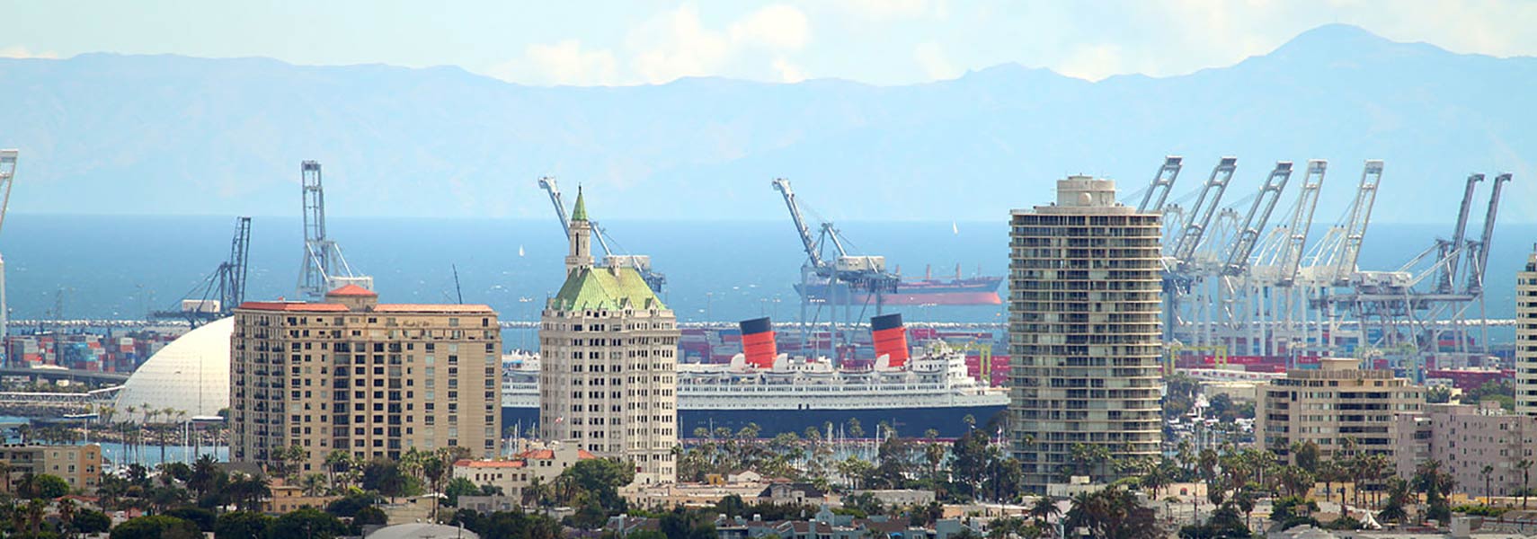
 A view from Signal Hill of Long Beach's most famous landmarks, the International Tower and The Pacific, and in between the RMS Queen Mary, today a floating hotel aboard the former iconic 1936 ocean liner. Image: R. Daddy |
About Long Beach |
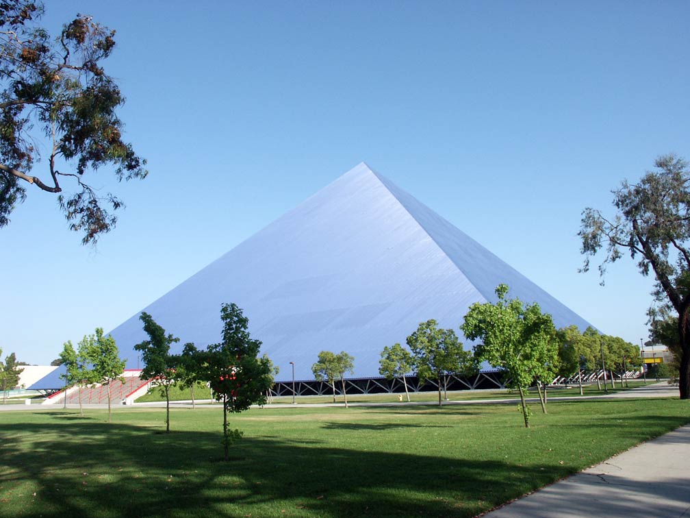
 The satellite view shows Long Beach, a major port city in the State of California in the The satellite view shows Long Beach, a major port city in the State of California in the  The Walter Pyramid, a 5,000-seat indoor collegiate athletic facility located on the campus of California State University, Long Beach. Image: Summum The city started as settlements around cattle farming ranches, officially incorporated in 1897. It became a seaside resort in the beginning of the 20th century, in 1920 oil was discovered and the city became an oil town. Today the city still maintains a large oil industry with wells located underground and offshore. In 2015, Long Beach has a population of 474,000 inhabitants. It is part of Los Angeles metropolitan area (Los Angeles–Long Beach–Anaheim) with a population of 13.2 million people. Some points of interest in Long Beach: The city is home to the Museum of Art The page shows a city map of Long Beach with expressways, main roads, and streets, and the location of Long Beach Airport (IATA code: LGB). Nearest international airport is Los Angeles International Airport (IATA code: LAX) 21 mi (34 km) by road, near Inglewood. To find a location use the form below. To view just the map, click on the "Map" button. |
|
| To find a location type: street or place, city, optional: state, country. |
Local Time Long Beach:
Friday-April-19 06:15
Standard time zone Pacific Standard Time (PST): UTC/GMT -8 hoursPacific Daylight Time (PDT) in use from the second Sunday in March, ends on the first Sunday in November; time zone offset: UTC/GMT -7 hours |
|
φ Latitude, λ Longitude (of Map center; move the map to see coordinates): , |
||||||
| Sorry! Google's pricing policy has made it impossible for us to continue showing Google Maps. We apologize for any inconvenience. Google Map: Searchable Map of the City of Long Beach, California, USA. City Coordinates: 33°48′15″N 118°9′29″W |
Bookmark/share this page
|
|||||
| More about California and the USA: Other Cities in California: California State: U.S. States: Country: Reference Map of Mainland USA. Continent: |
Weather Conditions Long Beach External Links: Long Beach (official website) Visit Long Beach (official tourism website) Press Telegram Local news. Wikipedia: Long Beach |
Related Consumer Information:
|
||||
One World - Nations Online .:. let's care for this planet Promote that every nation assumes responsibility for our world. Nations Online Project is made to improve cross-cultural understanding and global awareness. More signal - less NOISE |
| Site Map
| Information Sources | Disclaimer | Copyright © 1998-2023 :: nationsonline.org |