Nations Online
All Countries in the World
|
One Planet Nations Online All Countries in the World | |
| Home |
___ Searchable Map and Satellite View of the City of Chicago, Illinois, USA (with 45-degree image coverage) |
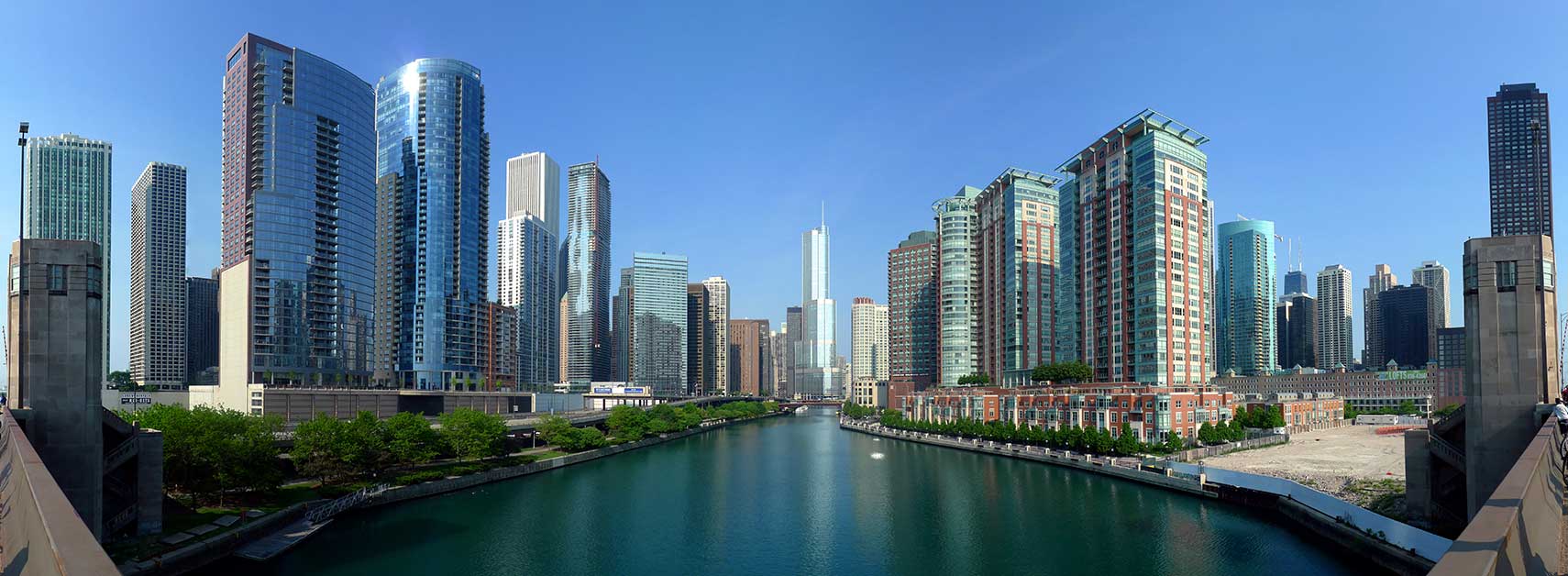
 Downtown Chicago at the main branch of the Chicago River. In center the Trump International Hotel and Tower, the second highest building in town. Chicago is home to more than 460 skyscrapers. Image: David B. Gleason |
About Chicago |
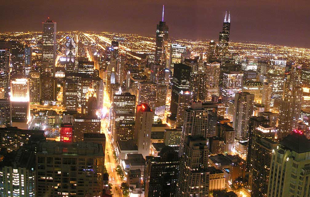
 The satellite view shows Chicago, largest city in the state of Illinois and the 3rd largest city in the The satellite view shows Chicago, largest city in the state of Illinois and the 3rd largest city in the  Downtown Chicago seen from the John Hancock Center observatory, looking south. Photo: Lol19 "The Windy City" (one of Chicago's nicknames), has a population of about 2.72 million people (est. 2015), the Chicago-Naperville-Michigan City (also known as Chicagoland) has a population of over 9.9 million people, it is the third-most populous metropolitan area in the United States. Chicago is in Frommer's list of Top City Break Destinations 2012. The city is described as: "When rapper Lupe Fiasco branded Chicago the "best city in the whole wide, wide world," he may have ruffled some feathers. Upon closer inspection, there's plenty to back it up: a destination-worthy dining scene; deeply rooted music culture; and soaring, significant architecture. Throw world-class museums and a cutting edge cocktail culture into the mix, and you have the makings of a memorable jaunt". Just zoom in to see 'The Loop', Chicago's Central Business District. The Map shows a city map of Chicago with expressways, main roads, and streets, zoom out to find O'Hare International Airport (IATA code: ORD), located 17 mi (27 km) by road, northwest of the Chicago Loop, and Chicago Midway Airport (IATA code: MDW) is located 11 mi (17 km) by road, southwest of downtown Chicago. To find a location use the form below. To view just the map, click on the "Map" button. |
|
| To find a location type: street or place, city, optional: state, country. |
Local Time Chicago:
Tuesday-April-23 21:44
Standard time zone: Central Standard Time (CST); UTC/GMT -6 hours
Central Daylight Time (CDT) in use from the second Sunday in March, ends on the first Sunday in November; time zone offset: UTC/GMT -5 hours |
|
φ Latitude, λ Longitude (of Map center; move the map to see coordinates): , |
||||||
| Sorry! Google's pricing policy has made it impossible for us to continue showing Google Maps. We apologize for any inconvenience. Google Map: Searchable Map of the City of Chicago, Illinois, USA. City Coordinates: 41°50′13″N 87°41′4″W |
Bookmark/share this page
|
|||||
| More about Illinois and the USA: Other Major Cities in Illinois: Illinois State: U.S. Cities: U.S. States: Country: Continent: |
Current Weather Conditions Chicago External Links: Chicago (official city website) Explore Chicago The Official Chicago Tourism Site. News: Chicago Tribune Local and national news. Daily Herald Local and national news. Wikipedia: Chicago Wikipedia entry Chicago. |
Explore more:
Related Consumer Information:
|
||||
One World - Nations Online .:. let's care for this planet Promote that every nation assumes responsibility for our world. Nations Online Project is made to improve cross-cultural understanding and global awareness. More signal - less NOISE |
| Site Map
| Information Sources | Disclaimer | Copyright © 1998-2023 :: nationsonline.org |