Advertising

US-flag detail
Home Earth Continents The Americas US Country Profile Map of the US States

Maps Index
Map of the United States Blank Map of the United States

Map of the US States


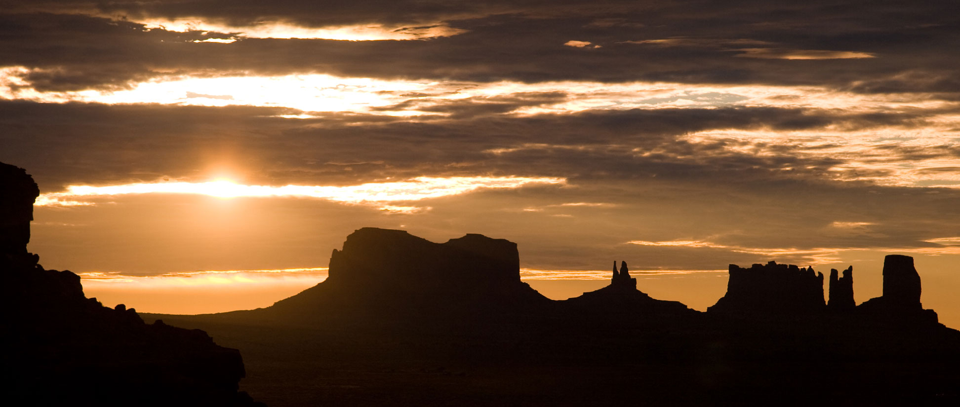
Sunrise over Monument Valley
Sunrise in Monument Valley. The world famous valley is located on the Arizona–Utah border.
Image: Lucag

USA


US Flag
The map shows the contiguous United States. The United States of America is a federal republic. It consists of 50 states, one federal district (the capital Washington D.C.), five larger territories, and several island territories. The 48 contiguous Continental United States (sometimes called the Lower 48) and Alaska are located in North America, while Hawaii and smaller outlying areas are located in the Pacific and Caribbean.

The United States of America is the third-largest country in the world by area.

The US has a population of 330.2 million people (in 2020). The capital is Washington D.C.; the largest city is New York. Spoken languages are English and Spanish.


Map of the States of the USA

Political Map of the continental USA with states, capitals, and major cities
Political Map of the continental US States

The map shows the USA and bordering countries with international boundaries, the national capital Washington D.C., US states, US state borders, state capitals, and major cities.


More about the 50 US States
Explore the USA from Alabama to Wyoming. Get more information about each of the 50 states, including facts, fun, maps, and images.

Alabama, Alaska, Arizona, Arkansas, California, Colorado, Connecticut, Delaware, Florida, Georgia, Hawaii, Idaho, Illinois, Indiana, Iowa, Kansas, Kentucky, Louisiana, Maine, Maryland, Massachusetts, Michigan, Minnesota, Mississippi, Missouri, Montana, Nebraska, Nevada, New Hampshire, New Jersey, New Mexico, New York, North Carolina, North Dakota, Ohio, Oklahoma, Oregon, Pennsylvania, Rhode Island, South Carolina, South Dakota, Tennessee, Texas, Utah, Vermont, Virginia, Washington, West Virginia, Wisconsin, Wyoming

You are free to use the above map for educational or similar purposes (fair use); please refer to the Nations Online Project.


Bookmark/share this page
  Instagram button

More about the USA:

Cities:
United States' most populated cities

States:
The 50 States of the USA
Maps of the U.S. States
Flags of the U.S. States
Area of the U.S. States
Population of the U.S. States

Country:
Reference Map of the United States
Map of United States Time Zones

Profile of the United States of America

Continent:
Map of North America
   

Weather Conditions Washington D.C.

WASHINGTON D.C. WEATHER


Advertisements:


Maps of other Countries in North America:
Canada Map | Mexico Map

Maps of Countries in Central America:
Costa Rica Map | El Salvador Map | Guatemala Map | Honduras Map | Nicaragua Map | Panama Map

Maps of Caribbean Islands
Cuba Map | Dominican Republic Map | Haiti Map | Jamaica Map | Puerto Rico Map

Maps of other Countries in South America:
Brazil Map | Chile Map | Colombia Map | Ecuador Map | French Guiana Map | Guyana Map | Paraguay Map | Peru Map
up