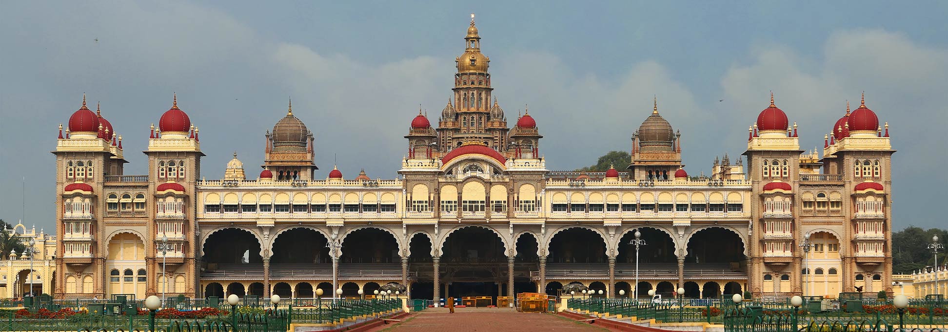
About Karnataka
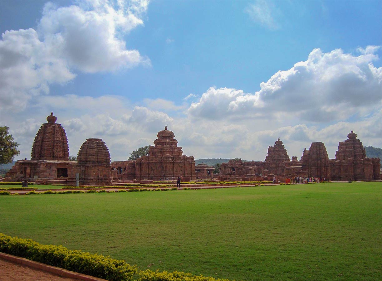
 The Group of Monuments at Pattadakal consists of nine Hindu temples and a Jain sanctuary, it is a UNESCO World Heritage Site. The Temple of Virupaksha aws built c. 740 by Queen Lokamahadevi to commemorate her husband's victory over the kings from the South.
Image: Manjunath Doddamani Gajendragad
Satellite view is showing the Indian state of Karnataka situated on the western edge of the Deccan plateau in southwestern India. The state was formerley (until 1973) known as Mysore.
The state is bordered by the Arabian Sea in west,
Goa in northwest,
Maharashtra in north,
Telangana in northeast,
Andhra Pradesh in east,
Tamil Nadu in south and
Kerala in southwest.
With an
area of 191,791 km² (74,051 sq mi), Karnataka is somewhat larger than half the size of
Germany, or slightly smaller than the US state of
South Dakota.
Karnataka has a
population of 66 million people (est. 2018). Capital city is Bangalore (officially Bengaluru). Official
language is Kannada, one of the major South Indian languages.
The map shows a map of Karnataka with borders, cities and towns, expressways, main roads and streets, and the location of
Bengaluru International Airport (
IATA code: BLR).
To find a location use the form below.


