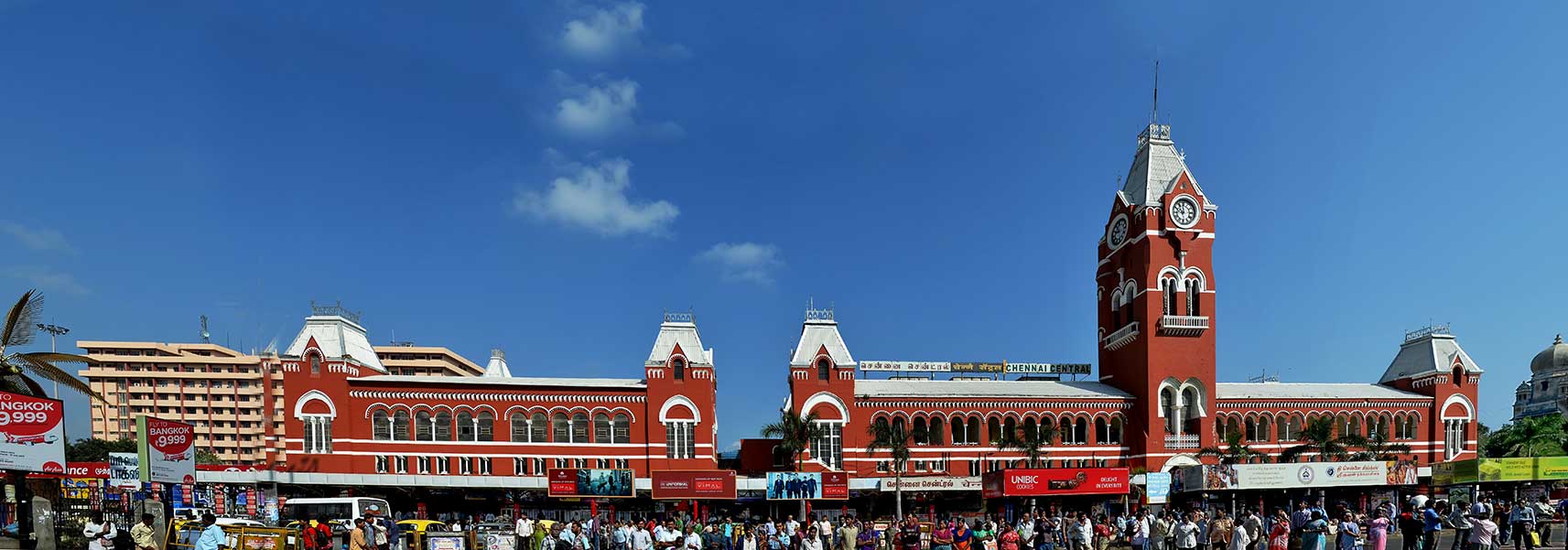
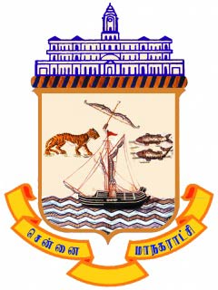
About Chennai
Satellite view is showing Chennai (also known as Madras until 2000), an important seaport on the eastern coast of
 India
India. The city is located in north east of
Tamil Nadu on the Adyar Estuary and the Coromandel Coast of the Bay of Bengal. Chennai is the largest cultural, economic and educational center in Southern India.
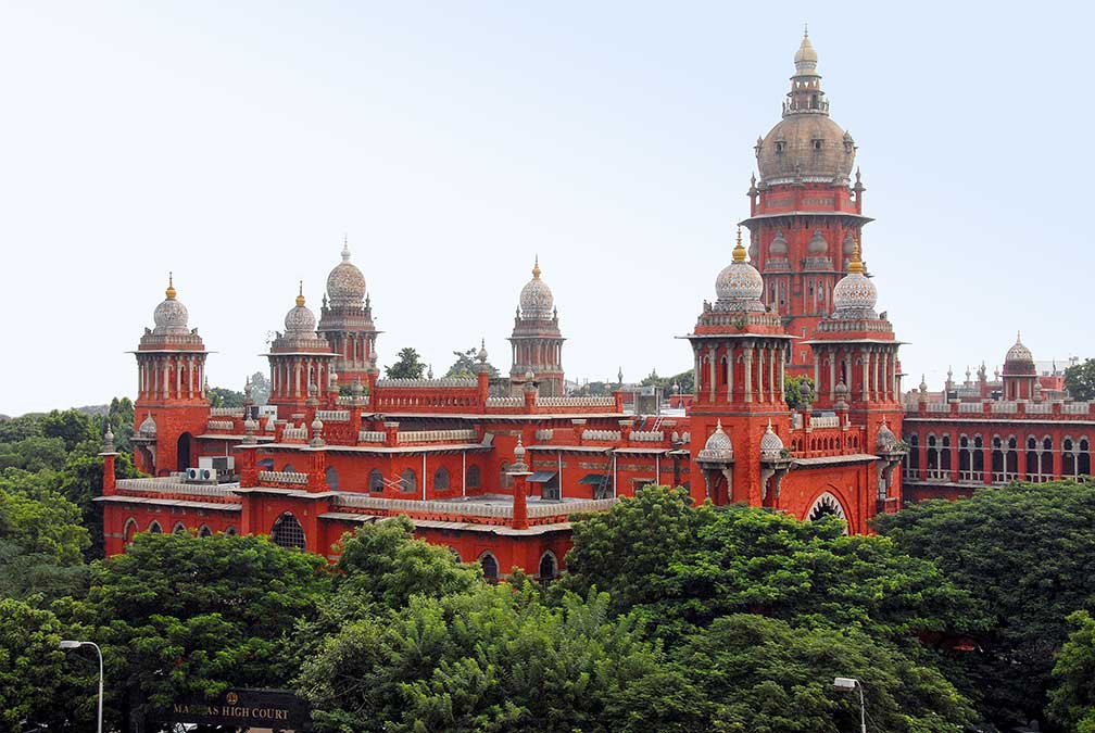 Chennai High Court or Madras High Court, one of the landmarks of the metropolis of Chennai.
Image: Yoga Balaji
Chennai is the capital and largest city in Tamil Nadu state, with more than 7 million people. Chennai Metropolitan Area is in the top ten of India's most populous metropolitan areas with a population of more than 10 million people (est. 2017).
Spoken
language is Tamil as the primary language, English is widely spoken. Main religions are Hinduism (87%) Christianity (6%) and Islam (6%).
Chennai is known as the gateway to the south of India. The city is a major center for Indian/Tamil music, art and culture and the center of the large Tamil movie industry, and is home to the Madras Music Academy.
Chennai is India's main port in the south east, it is the second largest container port of India and the largest port in the Bay of Bengal.
The city's main industries are computer, hardware manufacturing, and software services. The city is also called 'The Detroit of Asia', for the city hosts around 30% of India's automobile industry and 35% of its auto components industry. Chennai is also known as India’s health capital. Its medical facilities attracts about 45% of India's health tourists from abroad and caters to 30 to 40% of domestic health tourism.
Some points of interest in Chennai
Fort St. George (White Town), the fort currently houses the Tamil Nadu Legislative Assembly (
www.assembly.tn.gov.in).
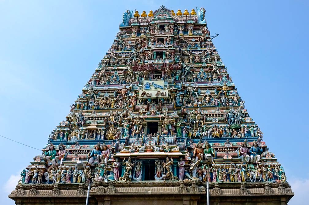
Kapaleeshwarar Temple, Dravidian architecture style temple, built presumably in the 7th century, dedicated to Lord Shiva and his consort Parvati.
DakshinaChitra, cross cultural museum dedicated to South Indian heritage and culture, featuring 18 historical houses, along with art and crafts and performances.
Marina Beach, long stretched urban beach along the Bay of Bengal with urban activities, and there is a light house.
Guindy National Park, protected area and a national park situated inside the city, with deers, birds, jackals, snakes and monkeys.
Government Museum (Madras Museum), India's second oldest museum is dedicated to human history and culture with state collections including Indian art, sculptures, and bronzes, and has an anthropological department.
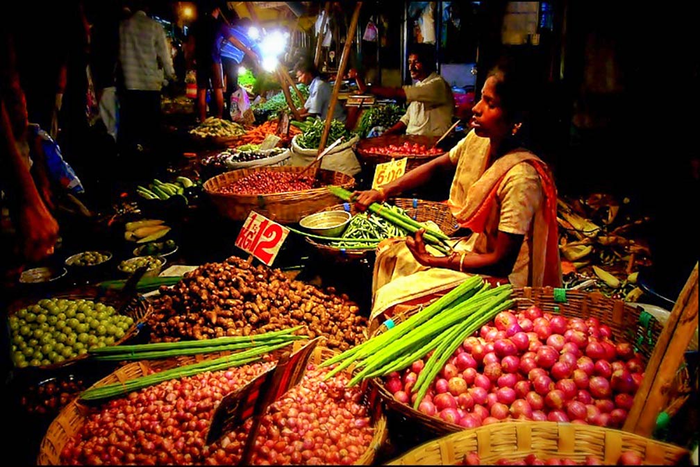 Chennai Market Scene.
Image: kaniths
, Chariot-shaped stone landmark dedicated to the classical Tamil poet, philosopher, and saint, Thiruvalluvar.
VGP Universal Kingdom, and
Queens Land, theme parks with the usual attractions.
Kishkinta is another theme park, especially for children.
Birla Planetarium, the planetarium offers astronomy shows on a 360-degree screen for virtual tours of the night sky.
Vivekanandar Illam, the former ice store is now a permanent exhibition on the life of Swami Vivekananda (1863-1902), the chief disciple of the 19th-century Indian mystic Ramakrishna.
Ranganathan Street, enjoy one of the most crowded streets in the world, the major commercial street is in the neighborhood of T. Nagar (Thyagaraya Nagar), one of the biggest shopping districts in India.
Spencer Plaza, shopping mall on the site of the original Spencer's departmental store.
The Map shows a city map of Chennai with expressways, main roads and streets,
Chennai International Airport (
IATA code: MAA) located 7 km (4.3 mi) south of the Central Business District. Chennai may become the first Indian city with two international airports, a four-runway second airport is proposed to be built near
Sriperumbudur, about 50 km by road, southwest the city center.
To find a location use the form below.

