About Russia
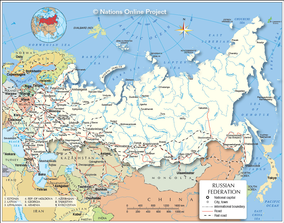
The map shows the Russian Federation, which came into existence on 25 December 1991, after the dissolution of the
 Soviet Union
. The country, commonly known as Russia, is located partly in eastern Europe and partly in northern Asia, bordering the Arctic Ocean in the north.
Russian Federation is the new name of the country of what is left of the Soviet Union, after the breakaway of some of its republics.
Russia is bordered in the west by
Norway,
Finland,
Estonia,
Latvia,
Lithuania and
Poland (both with the Russian exclave of Kaliningrad Oblast),
Belarus,
Ukraine,
Georgia, and
Azerbaijan. Russia borders
Kazakhstan,
China,
Mongolia, and
North Korea in the south. Additionally, the country shares maritime borders with
Sweden,
Japan (by the Sea of Okhotsk) and the
U.S. state of
Alaska across the Bering Strait.
With an
area of 17,098,242 km², the country is somewhat larger than twice the size of the contiguous United States; the Russian Federation is still the largest country in the world, covering more than 11% of Earth's inhabited areas.
More about Russia
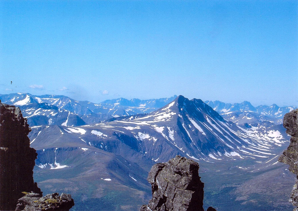
 The Ural Mountains in Russia stretch over 1,600 km from the Arctic Ocean in the north to the Aral Sea in the south. The mountain range forms the border between Europe and Asia.
Photo: Irina Kazanskaya
Vast regions of the country were uninhabited or uninhabitable. Russia is a country with a very low population density (8.5 people/km², compared to Germany with 226 people/km², USA about 33 people/km²). But still, Russia has a
population of 147 million people (in 2022).
Moscow is the capital and center of political power as well as a major cultural and commercial center, while
St. Petersburg is considered the cultural capital of Russia and is known as the second-largest city in the country.
Everything geographical of the Russian Federation is gigantic.
Measured from its western borders in Kaliningrad Oblast to the tip of the Kamchatka Peninsula on the Bering Strait in Russia's Far East, it is about 7500 km (4700 mi).
Russia has 11 of the world's 24 time zones, 21 national republics, 41 ethnic groups with more than 100,000 inhabitants, seven of them with more than 1 million.
Russia has 37,653 km of coastline, 22,400 km of borders and, as mentioned above, is the largest country in the world.
The Russian Landscape
The landscapes of Russia offer a variety of different regions. To the west of the Ural Mountains, which separate the Asian from the
European part of the country, lies the European Plain. Russia's largest cities are within it, with Moscow at the center of a network of roads and railway lines, connecting the capital with the rest of the country.
The Great Caucasus Mountains in the southwest, between the southern
Black Sea and the west coast of the
Caspian Sea, form the border between Russia and Georgia. Within the Caucasus Mountains is
Mount Elbrus (Gora Elbrus), the highest mountain in Europe at 5,642 meters and also the highest peak in Russia.
East of the Ural Mountains lies the West Siberian Plain. The world's largest area of continuous lowlands is bounded by the Kara Sea in the north, by the Kazakh Uplands and the Altai Mountains in the south and by the Yenisey River valley and the Central Siberian Plateau in the east. To the east of the Yenisey River, Russia becomes mountainous, with the Stanovoy Mountains, the Yablonov Mountains, the Verkhoyansk Mountains, the Sikhote-Alin Mountains, the Kolyma Mountains and the mountainous Kamchatka Peninsula with its coast on the Bering Sea and the Sea of Okhotsk.


