Advertising

Europe Flag detail
Home Earth Continents Europe Poland Country Profile Poland Map

Satellite View and Map of Poland


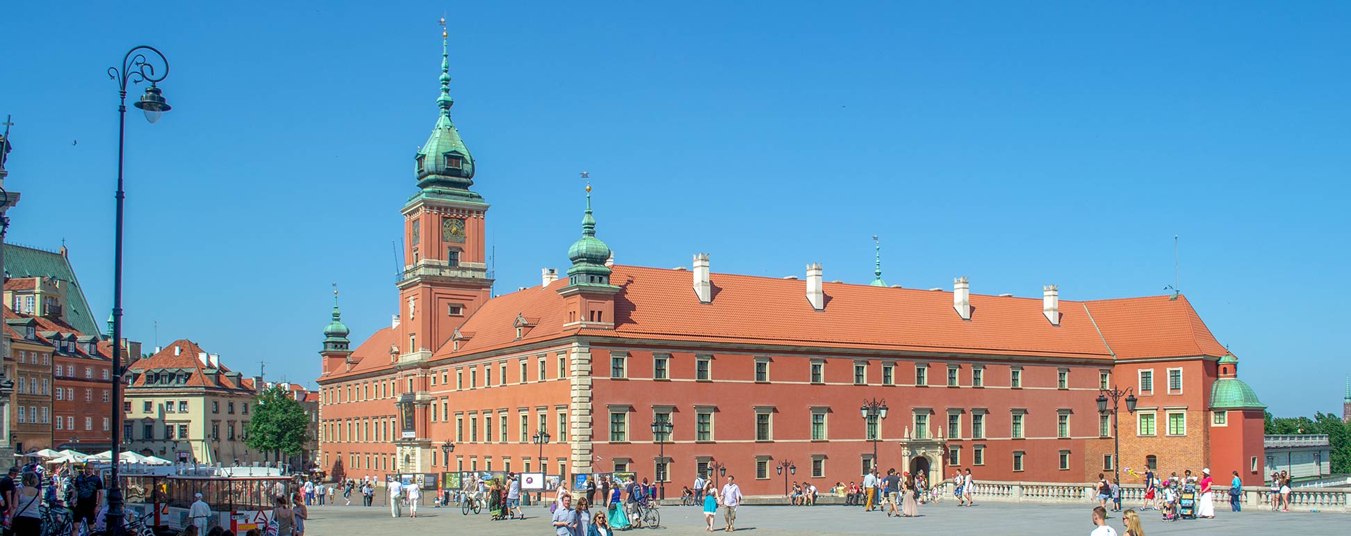
Royal Castle in Warsaw's Old Town
Royal Castle in Warsaw's Old Town.
Image: kk nationsonline.org


About Poland


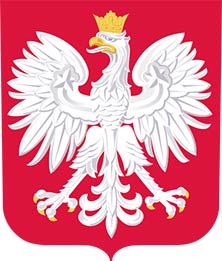
Coat of Arms of Poland
The map and satellite view shows Poland, officially the Republic of Poland, a country in central Europe with a coastline on the Baltic Sea.

Poland has a population of 38.4 million people (in 2019).

The national capital is Warsaw (Warszawa). Other major cities are Gdańsk, Kraków, Łódź, Poznań, Szczecin, and Wrocław. Offilial language is Polish.

Border countries are: Belarus, Czech Republic, Germany, Lithuania, Russia, Slovakia, and Ukraine


The map shows Poland with international borders, major cities, towns, expressways, main roads, and streets.


To find a location use the form below.


Sorry! Google's pricing policy has made it impossible for us to continue showing Google Maps. We apologize for any inconvenience.

Google Map: Searchable map and satellite view of Poland.

φ Latitude, λ Longitude (of Map center; move the map to see coordinates):

,


Bookmark/share this page
  Instagram button

Weather Conditions Warsaw:

WARSAW WEATHER
 

Advertisements:


Map Help [ show ]
up