Nations Online
All Countries in the World
Nations Online All Countries in the World | |
Home  |
___ Satellite View and Map of the City of Vilnius, Lithuania |
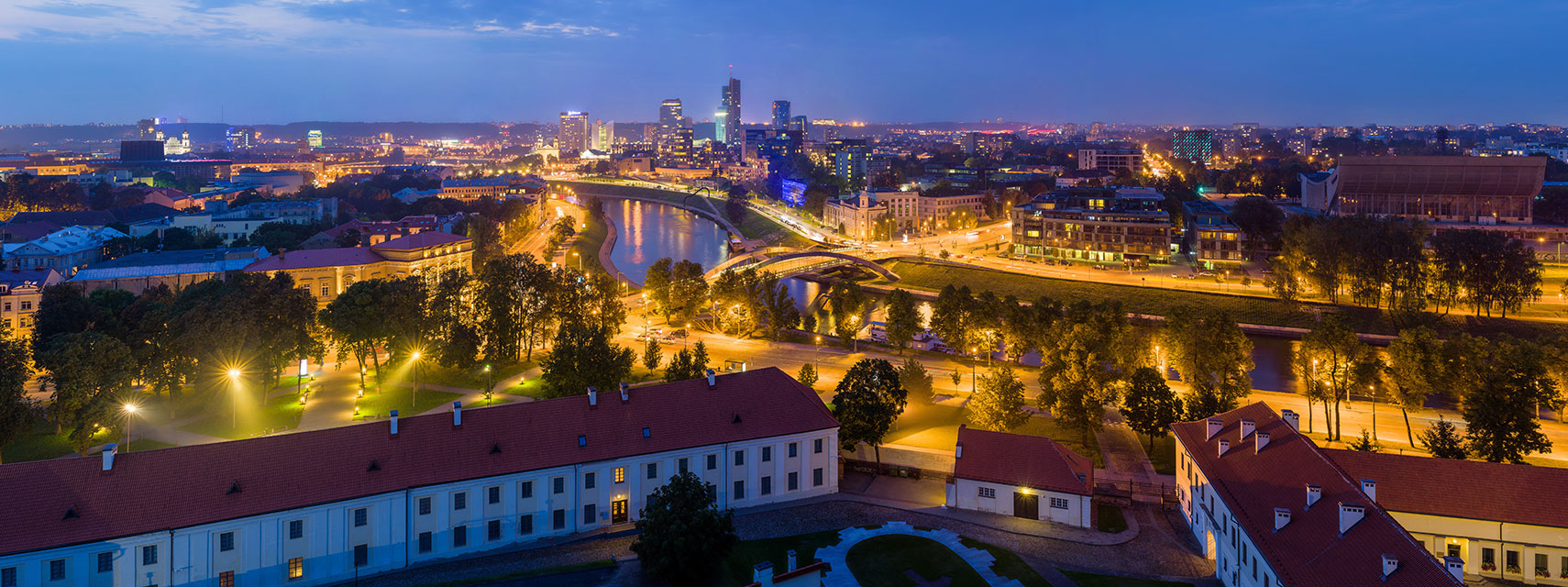 Panorama of Vilnius at dusk with reflecting lights on Neris River. Image: Diliff |
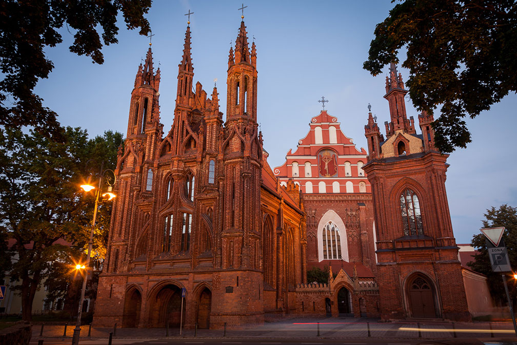
About Vilnius Satellite view is showing Vilnius, largest city and the national capital of the Satellite view is showing Vilnius, largest city and the national capital of the The city in the Baltic states is located in the eastern part of Lithuania at the confluence of the Vilnia and Neris rivers. Vilnius is the second largest city in the Baltics behind Riga, Latvia. It has an urban population of about 555,000, about 800,000 people live in the metropolitan area (Vilnius County). Spoken language is Lithuanian. The city is home to Vilnius University, founded in 1579, it is the oldest university in the Baltic states and one of the oldest in Northern Europe. The Old Town of Vilnius is one of the largest surviving medieval old towns in Northern Europe, Vilnius Historic Centre Vilnius was the European Capital of Culture of 2009 together with Linz in Austria. The map shows a city map of Vilnius with expressways, main roads and streets, zoom out to find the location of Airport Vilnius To find a location use the form below. To view just the map, click on the "Map" button. |
|
| To find a location type: street or place, city, optional: state, country. |
Local Time Vilnius:
Tuesday-June-23 17:09
UTC/GMT +2 hoursDaylight saving time from end of March until end of October UTC/GMT +3 hours |
One World - Nations Online .:. let's care for this planet Promote that every nation assumes responsibility for our world. Nations Online Project is made to improve cross-cultural understanding and global awareness. More signal - less NOISE |
| Site Map
| Information Sources | Disclaimer | Copyright © 1998-2024:: nationsonline.org |