About Central and Eastern Europe
The map shows Central Europe, sometimes referred to as Middle Europe or Median Europe, a region of the European continent lying between the variously defined areas of Eastern and Western Europe and south of the Northern European countries.
In most definitions, the countries of Central Europe are
Germany,
Poland, the
Czech Republic,
Austria,
Slovakia,
Slovenia, and
Hungary.
In some definitions,
Switzerland and
Croatia would also belong to Central Europe, as well as
Bosnia-Herzegovina,
Montenegro,
Serbia,
North Macedonia and
Albania. All these countries are in the Central European Time zone (CET = UTC + 1 hour).
More about the central and eastern part of Europe
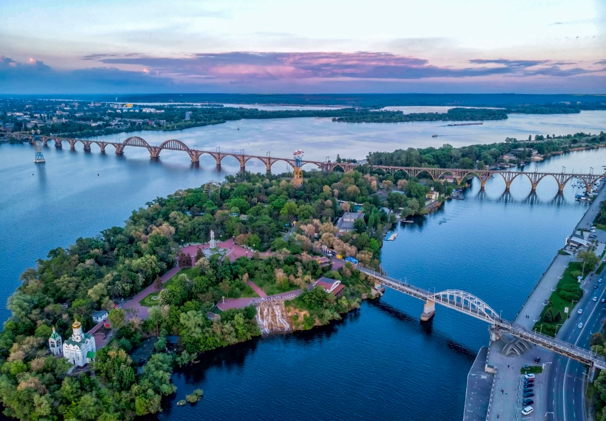
 Monastery Island and Merefa-Kherson bridge over the Dnieper River in Dnipro (Dnipropetrovsk), Ukraine.
Photo: Bodydock
Eastern Europe is, as the name says, the eastern part of Europe. According to the United Nations definition, countries within Eastern Europe are
Belarus,
Bulgaria, the
Czech Republic,
Hungary,
Moldova,
Poland,
Romania,
Slovakia,
Ukraine and the western part of the
Russian Federation (see:
European Russia map).
All these countries are using Eastern European Time (EET = UTC +2 hours) except Belarus (Minsk Time, UTC+3 hours), the
Kaliningrad Oblast (UTC+3 hours) and the Russian Federation (Moscow Time UTC+4 h).
Northern Europe
The map also shows some countries of Northern Europe,
Denmark,
Finland,
Norway, and
Sweden and the Baltic countries of
Estonia,
Latvia, and
Lithuania.
There is one country of Western Asia with a territory partial in Southern Europe:
Turkey.
There are two countries of Western Asia with a territory partial in Eastern Europe:
Georgia and
Azerbaijan, and there is one country in Central Asia with a portion of its territory in Eastern Europe:
Kazakhstan.


