About Iran
The satellite view and the map show
Iran, a country in the Middle East bordering the Gulf of Oman and the
Persian Gulf in the southwest, and the
Caspian Sea in the north.
Countries with international borders to Iran are
Afghanistan,
Armenia,
Azerbaijan,
Iraq,
Pakistan,
Turkey, and
Turkmenistan. It shares maritime borders with
Bahrain,
Kuwait,
Oman,
Saudi Arabia, and the
United Arab Emirates.
Iran occupies an
area of 1,648,195 km², making it is almost three times the size of
France or somewhat smaller than the US state of
Alaska. The country occupies large parts of the rugged Iranian Plateau (or Persian Plateau), a portion of the Eurasian Plate wedged between the Arabian and Indian plates in Western and Central Asia.
The country's highest mountain is
Mount Damavand at 5,610 m (18,410 ft), located in the Alborz mountain range south of the Caspian Sea.
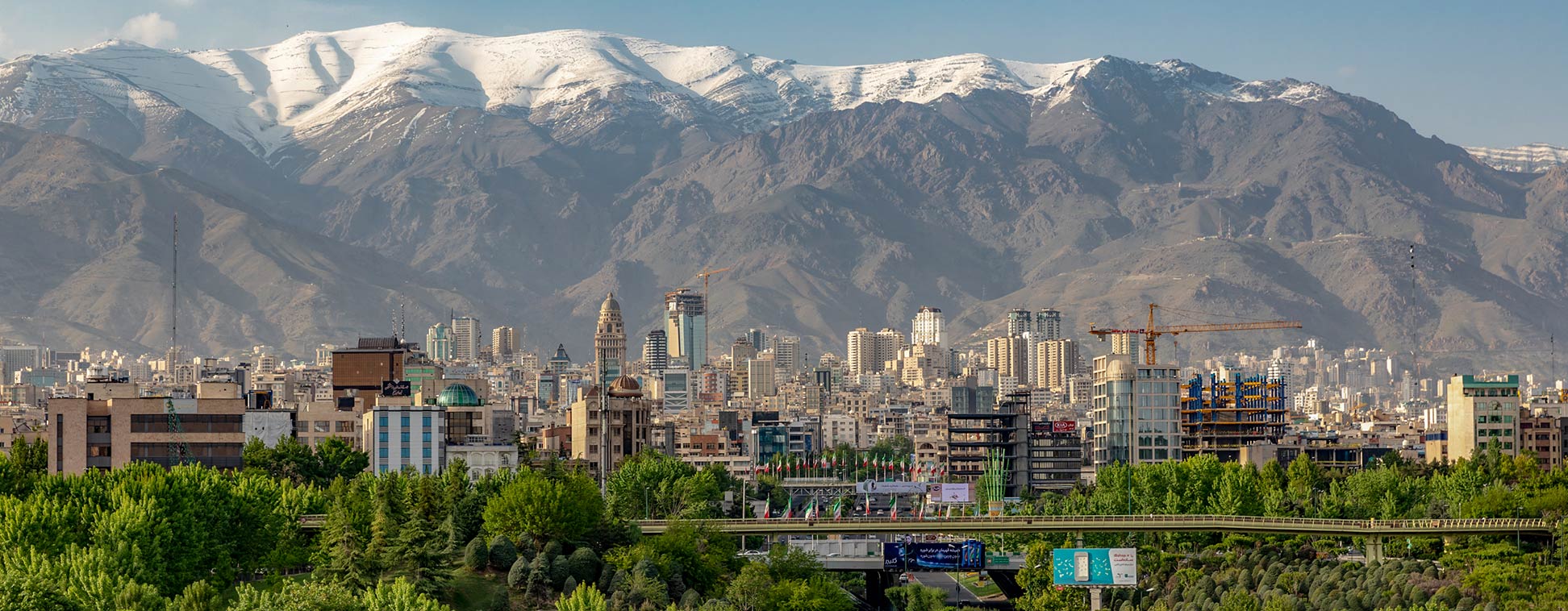
The capital and largest city is
Tehran. Other major cities are Mashhad, Isfahan, Karaj (a suburb of Tehran), Tabriz, Shiraz, Ahvaz, and Qom. Spoken
language is Persian (Farsi, official). The official religion is Shia Islam.
To find a location use the form below.


