About the Middle East
The map below shows Western Asia and the Middle East, today a hot spot for political and religious unrest, full-scale wars, and a theater of proxy conflicts between the two most powerful countries - the USA and Russia.
The Middle East, sometimes also called Near East, is a region at the crossroads between
Asia,
Africa, and
Europe, and since centuries the scene for cultural exchange, trade, and warlike conflicts.
The area has seen many rulers, from the Phoenicians, the Sumerians, the Parthians, and Romans, to the Ottomans, Arabs and Persians, and in recent history, the British and the French.
The region includes the ancient landscapes of the Fertile Crescent, where settled farming first emerged. It was the site of Mesopotamia, the Cradle of Civilization within the Tigris–Euphrates river system. The Levant situated along the Eastern Mediterranean, the Anatolian Peninsula (Asia Minor), now occupied by
Turkey, the
Sinai Peninsula,
the only part of Egypt's territory in Asia, and the
Arabian peninsula, the world's largest peninsula.
By conventional political definition, the countries in the Middle East are
Cyprus,
Iran,
Iraq,
Israel,
Jordan,
Lebanon, the
State of Palestine (West Bank and Gaza Strip),
Syria, and the Asian part of
Turkey.
Situated on the Arabian peninsula are
Bahrain, an island in the Persian Gulf,
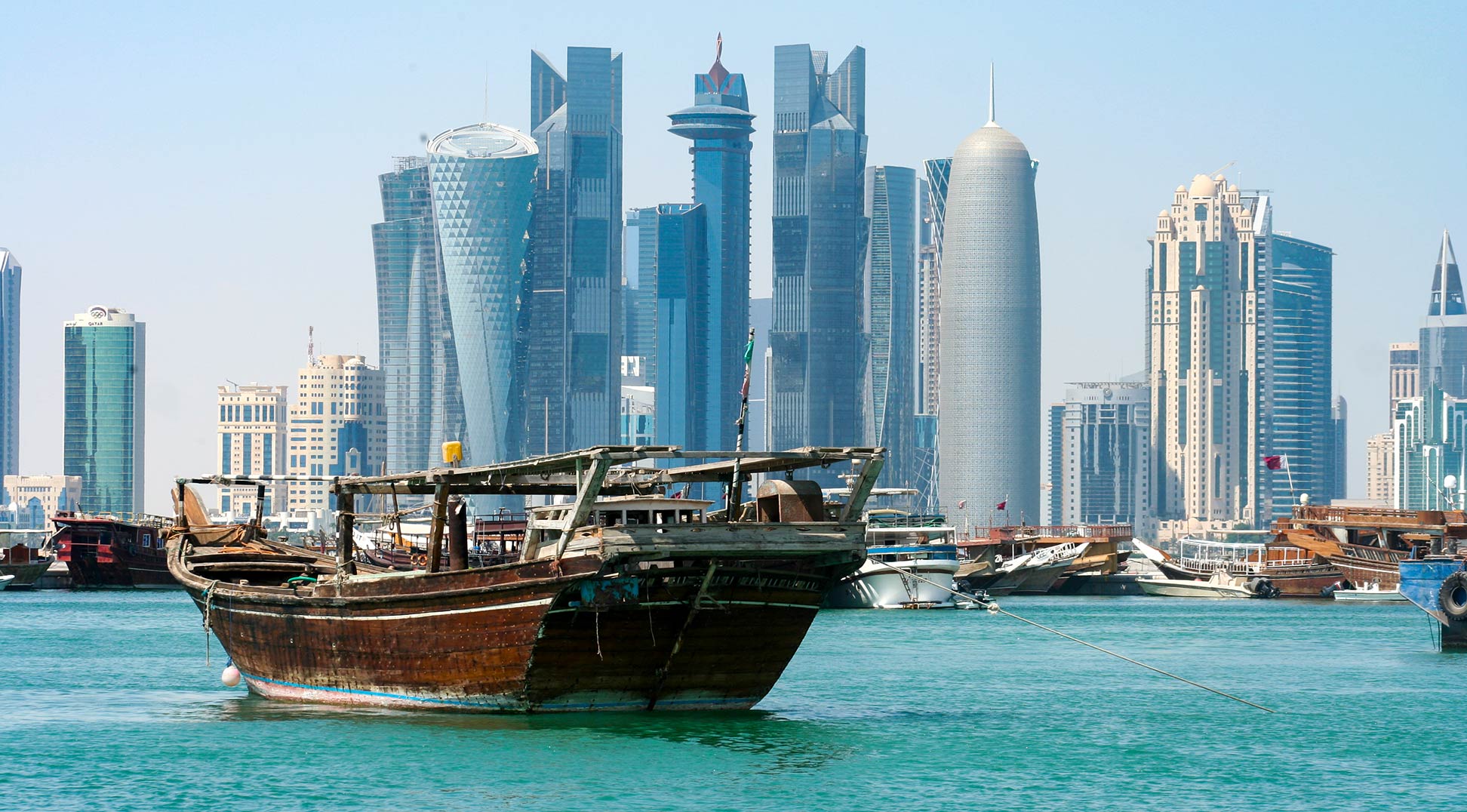
Qatar, located on a peninsula itself, and the
United Arab Emirates (UAE) in east,
Oman in the southeast,
Yemen in the south, and
Saudi Arabia in the center.
More about the Middle East
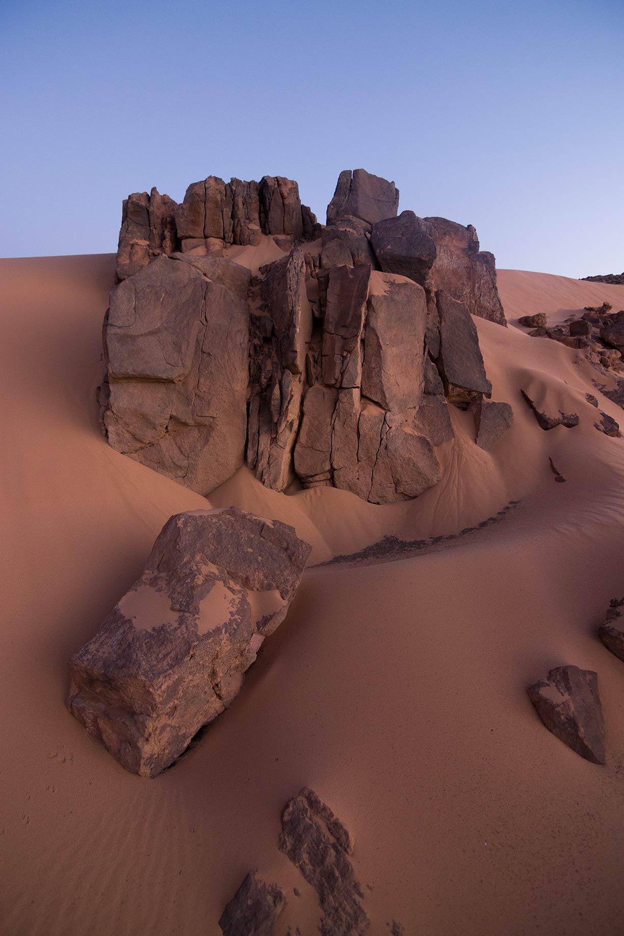
 Wadi Rum, also known as the Valley of the Moon, is a valley in southern Jordan to the east of Aqaba; Jordan's only coastal city.
Photo: Ibrahim nabeel salah
The Middle East in southwestern Asia is bordered by the
Mediterranean Sea in the northwest, the
Black Sea and the
Caspian Sea in the north, the Red Sea in the west, the Gulf of Aden and the Arabian Sea in the south, and by the Gulf of Oman, the Strait of Hormuz and the
Persian Gulf in southeast.
Except for the narrow coastal regions, large parts of the Middle East features steppe, shrubland, and desert landscapes, occasionally interrupted by wadis. The largest deserts are the Syrian and the Arabian Deserts.
Climate
The coastal regions of the Mediterranean Sea offer a hot-summer Mediterranean climate (Csa), which is characterized by hot, dry summers and cool, humid winters. Central eastern Turkey and northwestern Iran are located in a transition zone between the temperate European climate and the arid Arabian deserts and have a humid continental climate. Most of the Middle East has a hot desert climate (BWh), which is generally hot, sunny, and dry all year round.
Ethnic groups
Arabs constitute the largest ethnic group in the Middle East. Iranians are the second largest group, followed by Turkish speaking people, the Kurds, and Israelis.
Languages
The main languages are
Arabic, Persian, Turkish, Kurdish, and Hebrew.
Religions
Three major religions originate from the Middle East, Islam, Christianity, and Judaism.
Economy
The economies of the Middle East range from very poor countries (like Syria, Palestinian territories, and Yemen) to extremely wealthy nations (like Kuwait, Qatar, Saudi Arabia, and the UAE).
Some countries in the Middle East are heavily dependent on exporting only oil and oil-related products (such as Saudi Arabia, the UAE, and Kuwait).
Industries in the Middle East region include oil and oil-related products, agriculture products like cotton, cattle, and dairies, textiles and leather products.
Israel is in the Top 10 of the world's biggest arms exporters.


