Nations Online
All Countries in the World
Nations Online All Countries in the World | |
Home  |
___ Satellite View and Map of the City of Nicosia (Lefkosia), Cyprus |
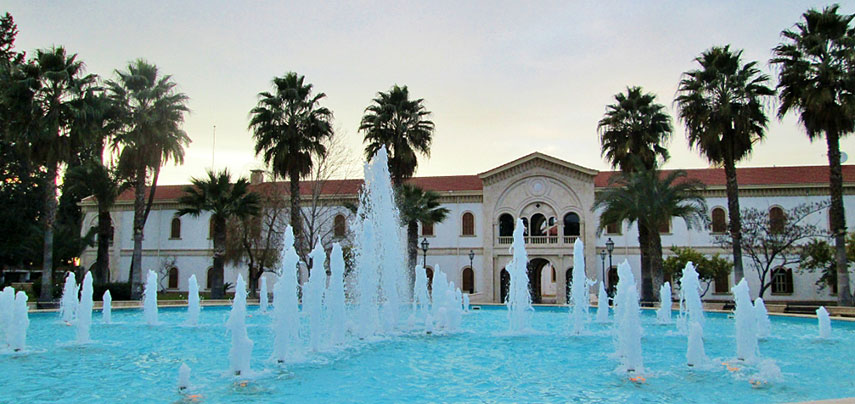 Gardens of Kykkos Monastery of the Orthodox Christian church, Nicosia. Image: Kykkos Monastery Cyprus |
Searchable Map and Satellite View of Nicosia using Google Earth DataCyprus is an island country in the third largest island in the Mediterranean Sea, about 80 km (50 mi) south of the Turkish coast and about 120 km (75 mi) west of Syria's coast. Cyprus belongs geographically to Western-Asia (Middle East), politically to Europe. Nicosia is, like the island itself divided between the Greek Cypriot and Turkish Cypriot communities. Nicosia retains the distinction of being the world's last divided capital. The city is the the island's financial and main international business center of . About 55,000 people live in the southern part of the city, more than 60,000 live in North Nicosia. The map shows the city of Nicosia with expressways, main roads and streets, and the location of the abandoned Nicosia International Airport (IATA code: To find a location use the form below. |
|
| To find a location type: street or place, city, optional: state, country. |
Local Time Cyprus:
Saturday-April-27 11:14
UTC/GMT +2 hoursDST from last Sunday in March until last Sunday in October UTC/GMT +3h |
One World - Nations Online .:. let's care for this planet Promote that every nation assumes responsibility for our world. Nations Online Project is made to improve cross-cultural understanding and global awareness. More signal - less NOISE |
| Site Map
| Information Sources | Disclaimer | Copyright © 1998-2023 :: nationsonline.org |

