Nations Online
All Countries in the World
Nations Online All Countries in the World | |
Home  |
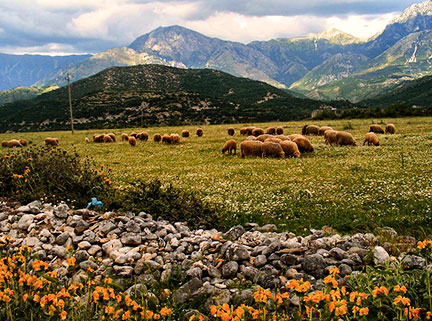
 Korab mountain is the highest mountain in Albania (2,764 m; 9,068 ft), its ridges forms a portion of the border between Albania and the Republic of Macedonia. Image: Albinfo |
___ Map and Satellite View of Albania (Shqiperia) |
About Albania Satellite view is showing the Southeastern European country on the Balkan Peninsula, bordering the Adriatic Sea and Ionian Sea.
Countries with international borders to Albania are Greece, Republic of Macedonia, Montenegro, and Serbia. With an area of 28,748 km², Albania is slightly smaller than Maryland, or just half the size of Croatia. The country has a population of 2,89 million people (in 2015), capital and largest city is Tirana. Spoken language is Albanian. Main religion is Islam (58%), Eastern Orthodox and Catholic Christianity (17%). Airport Tirana International Airport Nënë Tereza (IATA code: TIA, also known as Rinas Airport) is Albania's only international airport, located 25 km (16 mi) northwest of Tirana near the town of Rina. Seaport Albania's principal port is located in the country's second largest city Durrës, about 36 km west of Tirana. The map shows Albania with cities, towns and, main roads. To find a location use the form below. To view just the map, click on the "Map" button. |
|
| To find a location type: street or place, city, optional: state, country. |
Local Time in Albania:
Friday-April-26 12:43
Standard Time Zone (CET): UTC/GMT +1 hourCEST (Daylight Saving Time) in use from end of March until end of October. Time zone offset: UTC/GMT +2 hours |
|
φ Latitude, λ Longitude (of Map center; move the map to see coordinates): , |
||||||
| Google Maps: Searchable Map/Satellite View of the Republic of Albania. |
Bookmark/share this page |
|||||
| More about Albania: Cities: Country: Albania key statistical data. Continent: Political Map of the Mediterranean Region. Political Map of the Balkans. |
Current Weather Conditions Tirana:
|
Related Consumer Information:
|
||||
| Maps of other Countries in Southern Europe Croatia Map, Cyprus Map, Greece Map, Italy Map, Macedonia Map Montenegro Map, Portugal Map, Serbia Map, Slovenia Map, Spain Map, Turkey Map, Vatican City State Map Searchable Maps of other Countries in Southern Europe Bosnia and Herzegovina, Croatia, Cyprus, Greece, Italy, Macedonia Montenegro, Portugal, Serbia, Slovenia, Spain, Turkey, Vatican City State Profiles of other Countries in Southern Europe Bosnia and Herzegovina, Croatia, Cyprus, Greece, Italy, Macedonia Montenegro, Portugal, Serbia, Slovenia, Spain, Turkey, Vatican City State |
||||||
Map Help [ show ] |
||||||
One World - Nations Online .:. let's care for this planet Promote that every nation assumes responsibility for our world. Nations Online Project is made to improve cross-cultural understanding and global awareness. More signal - less NOISE |
| Site Map
| Information Sources | Disclaimer | Copyright © 1998-2023 :: nationsonline.org |