Nations Online
All Countries in the World
Nations Online All Countries in the World | |
Home  |
___ Satellite View and Map of France (French: Republique Francaise) |
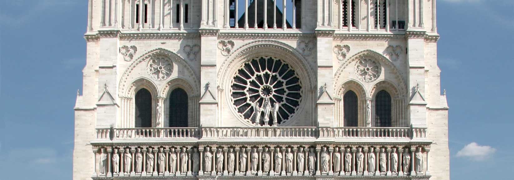 Detail of Notre-Dame in the 4th arrondissement of Paris, the medieval cathedral is one of the iconic monuments of France. Image: Tristan Nitot |
About France Satellite view is showing Metropolitan France. The country in Western Europe is bordered by the Bay of Biscay (North Atlantic Ocean) in west, by the English Channel in north west, by the North Sea in north, it borders the Mediterranean Sea between Italy and Spain. Border countries are Andorra, Belgium, Germany, Italy, Luxembourg, Monaco, Spain, and Switzerland, it also shares maritime borders with the United Kingdom. Satellite view is showing Metropolitan France. The country in Western Europe is bordered by the Bay of Biscay (North Atlantic Ocean) in west, by the English Channel in north west, by the North Sea in north, it borders the Mediterranean Sea between Italy and Spain. Border countries are Andorra, Belgium, Germany, Italy, Luxembourg, Monaco, Spain, and Switzerland, it also shares maritime borders with the United Kingdom.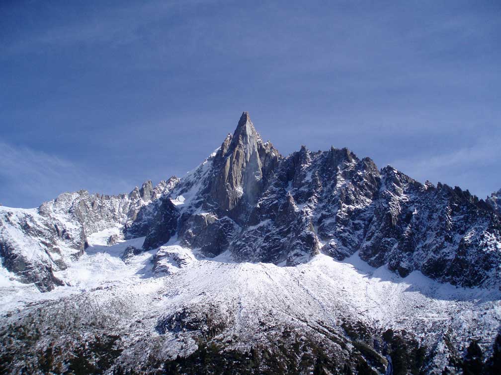 Aiguille du Dru is the name of a mountain in the Mont Blanc massif in the French Alps with an elevation of 3,754 m. Image: Duncan McGoldrick France landscape is mostly flat, there are plains with some rolling hills in north and west, it gets mountainous in south with the rugged Pyrenees and in south east with the Massif Central and the Alps, within rises the highest mountain of France and Italy, the Mont Blanc at 4,807 m. Major rivers in France are the Loire, Seine, Garonne, and Rhone, the Rhine river in east forms the border with Germany. France has a population of million people (est. 2016); 64.5 million people in Metropolitan France and 2.1 million in its overseas regions. Largest city and capital is Paris. Official language is French. French overseas possessions French Overseas Departments and Territories are French Guiana (since 1946), French Polynesia (since 1946), Guadeloupe (since 1946), Martinique (since 1946), New Caledonia (since 1946), Réunion (since 1946), and Mayotte island (since 1841). Map is showing Metropolitan France with international borders and regional boundaries, region capitals, major cities, expressways and main roads. To find a location use the form below. To view just the map, click on the "Map" button. |
|
| To find a location type: street or place, city, optional: state, country. |
Local Time France:
Saturday-April-27 01:30
Standard Time Zone (CET): UTC/GMT +1 hoursCEST (Daylight Saving Time) in use from end of March until end of October: time zone offset: UTC/GMT +2 hours |
|
φ Latitude, λ Longitude (of Map center; move the map to see coordinates): , |
||||||
| Sorry! Google's pricing policy has made it impossible for us to continue showing Google Maps. We apologize for any inconvenience. Google Map: Searchable map/satellite view of the French Republic (France). |
Bookmark/share this page |
|||||
| More about France: Landmarks: Cities, searchable map/satellite view of: Country: Continent: |
Current Weather Conditions Paris
|
Explore more:
Related Consumer Information:
|
||||
Major Cities in Western Europe Amsterdam, Berlin, Bern, Cologne, Brussels, Frankfurt, Hamburg, Luxembourg (City), Monaco, Munich (München), Nice, Rotterdam, The Hague, Vaduz, Vienna (Wien), Zurich Searchable Maps of other Countries in Western Europe: Austria | Belgium | Germany | Liechtenstein | Luxembourg | Monaco | Netherlands | Switzerland Political Maps of other Countries in Western Europe: Austria Map | Belgium Map | Germany Map | Netherlands Map | Switzerland Map |
||||||
Map Help [ show ] |
||||||
One World - Nations Online .:. let's care for this planet Promote that every nation assumes responsibility for our world. Nations Online Project is made to improve cross-cultural understanding and global awareness. More signal - less NOISE |
| Site Map
| Information Sources | Disclaimer | Copyright © 1998-2023 :: nationsonline.org |

