Nations Online
All Countries in the World
|
One Planet Nations Online All Countries in the World | |
Home  |
___ Satellite View of Kenya |
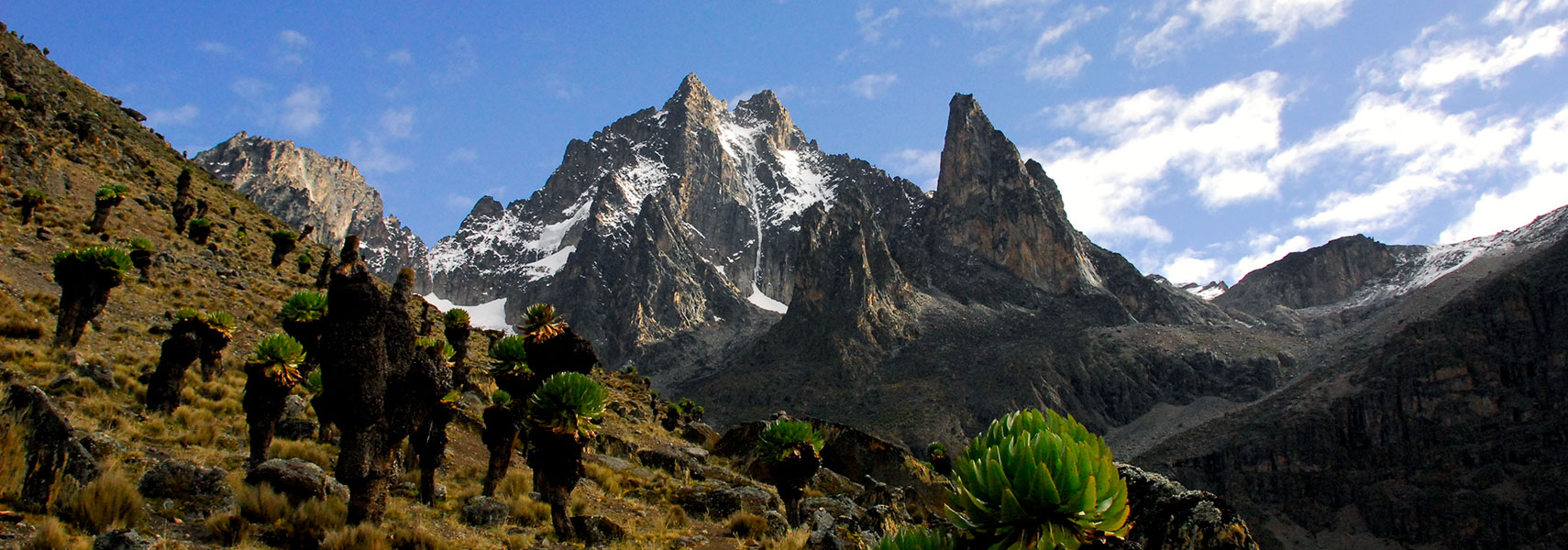
 Mount Kenya, highest point in Kenya and the second highest mountain in Africa with 5,199 m. Image: Radu Vatcu |
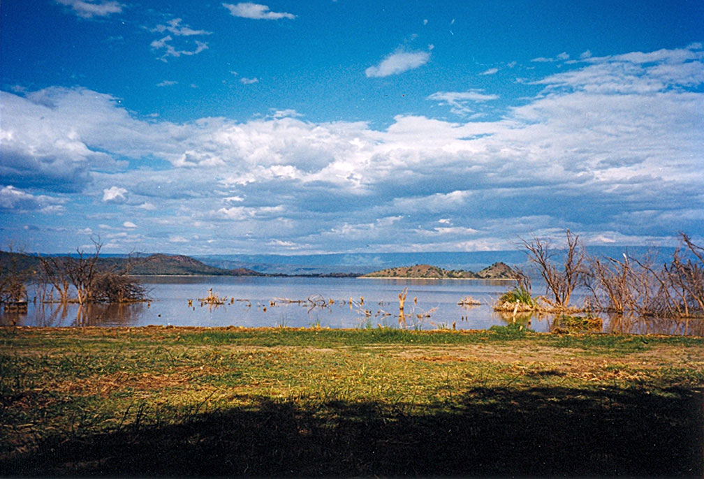
About Kenya If you think of Kenya, you might think of the sweltering heat of the African savannah grassland with an abundant wildlife of lions, giraffes, leopards, elephants, antelopes, kudus and black rhinos, and images of the annual wildebeest migrations comes to mind. The satellite view and map below is showing the Republic of Kenya. The country is situated on the equator in east central Africa bordering the Indian Ocean in south east. Lake Turkana (Lake Rudolf) to the north, Lake Victoria in the west. If you think of Kenya, you might think of the sweltering heat of the African savannah grassland with an abundant wildlife of lions, giraffes, leopards, elephants, antelopes, kudus and black rhinos, and images of the annual wildebeest migrations comes to mind. The satellite view and map below is showing the Republic of Kenya. The country is situated on the equator in east central Africa bordering the Indian Ocean in south east. Lake Turkana (Lake Rudolf) to the north, Lake Victoria in the west.The country is bordered by Ethiopia, Somalia, South Sudan, Tanzania, and Uganda. With an area of 580,000 km², Kenya is somewhat larger than Metropolitan France or slightly more than twice the size of the U.S. state of Nevada. Kenya has a population of 43 million people (2014). Spoken languages are Swahili and English (both official), and numerous indigenous languages mainly Kikuyu and Luhya. Kenya's unique landscape is made up of several distinctive geographical regions. There is the narrow, low-lying, fertile coastal strip along the shores of the Indian Ocean, fringed with coral reefs and islands. A series of low hills in south separates the coastal region from the vast bush-covered fertile plains of the eastern plateau.  Lake Baringo is one of the three inter-linked relatively shallow lakes of the Kenya Lake System within the Great Rift Valley, the others being Lake Nakuru and and Lake Elementaita. Image: Doron Northern Kenya is arid terrain, within this deserted part of the country stretches Lake Turkana Some points of interest when visiting Kenya: Nairobi National Park (Kenya's first National Park), Amboseli National Park, Chyulu Hills National Park, and Tsavo National Park (best wildlife-viewing experiences ever), Maasai Mara (Maasai Mara game reserve is contiguous with the Serengeti National Park (Tanzania), even better wildlife-viewing experiences), Lake Nakuru (greater and lesser pink flamingos famously line the shores), Thimlich Ohinga (a frightening dense forest of stone-built ruins), Malindi (exceptionally popular among Italian tourists), Hell's Gate National Park (wildlife, scenery and camping), Lamu Island (the oldest and best-preserved Swahili settlements in East Africa). The map shows Kenya with international borders, cities, towns, expressways, main roads and streets. To find a location use the form below. To view just the map, click on the "Map" button. |
|
| To find a location type: street or place, city, optional: state, country. |
Local Time Kenya:
Wednsday-April-24 13:00
Timezone: Eastern Africa Time (EAT), UTC/GMT +3 hours |
One World - Nations Online .:. let's care for this planet Promote that every nation assumes responsibility for our world. Nations Online Project is made to improve cross-cultural understanding and global awareness. More signal - less NOISE |
| Site Map
| Information Sources | Disclaimer | Copyright © 1998-2023 :: nationsonline.org |