Nations Online
All Countries in the World
Nations Online All Countries in the World | |
Home  |
___ Satellite View and Map of Ethiopia (Ityop'iya) |
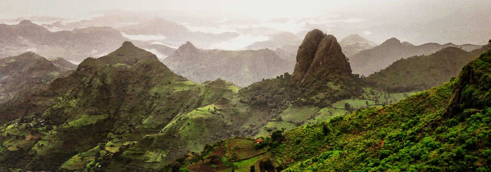 The Semien Mountains in Ethiopia are part of the Ethiopian Highlands. Within the mountain range towers Ras Dashen (4,550 m), the tallest peak in the country. Image: Rod Waddington |
Satellite View and Map of Ethiopia using Google Earth DataSatellite view is showing Ethiopia, a landlocked country in the Horn of Africa, formerly known as Abyssinia.The country shares international borders with Djibouti, Eritrea, Kenya, Somalia, and Sudan. The Federal Democratic Republic of Ethiopia, its official name, occupies an area of 1,104,300 km², compared it is twice the size of France or slightly less than twice the size of the U.S. state of Texas. The African nation has a highly diverse population with more than 80 different ethnic groups, an estimated 90 million people (2015) live in the country. Capital and largest city is Addis Ababa. Spoken languages are Amharic (official) and several other Afro-Asiatic languages. The map shows Ethiopia with national parks, game reserves, cities and towns, expressways, main roads and streets. To find a location use the form below. |
||
| To find a location type: street or place, city, optional: state, country. | Local Time Ethiopia:
Friday-July-3 19:53
Timezone: Eastern Africa Time (EAT), UTC/GMT +3 hours |
|
One World - Nations Online .:. let's care for this planet Promote that every nation assumes responsibility for our world. Nations Online Project is made to improve cross-cultural understanding and global awareness. More signal - less NOISE |
| Site Map
| Information Sources | Disclaimer | Copyright © 1998-2024:: nationsonline.org |

