Nations Online
All Countries in the World
|
One Planet Nations Online All Countries in the World | |
Home  |
___ Satellite View and Map of Somalia |
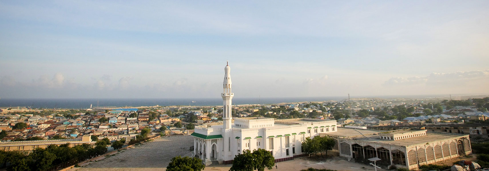
 View of a mosque opposite the parliament building in the Somali capital Mogadishu. Image: AMISOM Public Information |
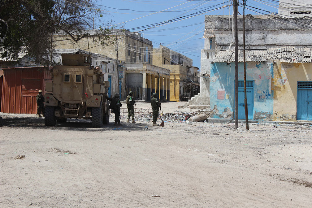
Searchable Map and Satellite View of Somalia using Google Earth Data Ugandan troops serving under the African Union Mission in Somalia (AMISOM), patrol the streets of the coastal town of Marka. Image: AMISOM Photo / Mohamed Haj Somalia has a population of 12.3 million inhabitants (in 2014). Capital city is Mogadishu (Muqdisho). Spoken languages are Somali and Arabic (both official). Countries with international borders to Somalia are Djibouti, Ethiopia, and Kenya. The map shows Somalia with cities, towns, expressways, main roads and streets. To find a location use the form below. |
|
| To find a location type: street or place, city, optional: state, country. | Local Time Somalia:
Wednsday-April-24 06:06
Timezone: EAT, UTC/GMT +3 hours |
One World - Nations Online .:. let's care for this planet Promote that every nation assumes responsibility for our world. Nations Online Project is made to improve cross-cultural understanding and global awareness. More signal - less NOISE |
| Site Map
| Information Sources | Disclaimer | Copyright © 1998-2023 :: nationsonline.org |