Nations Online
All Countries in the World
Nations Online All Countries in the World | |
Home  |
___ Searchable Map and Satellite View of Las Vegas (Sin City), NV (45-degree view available) |
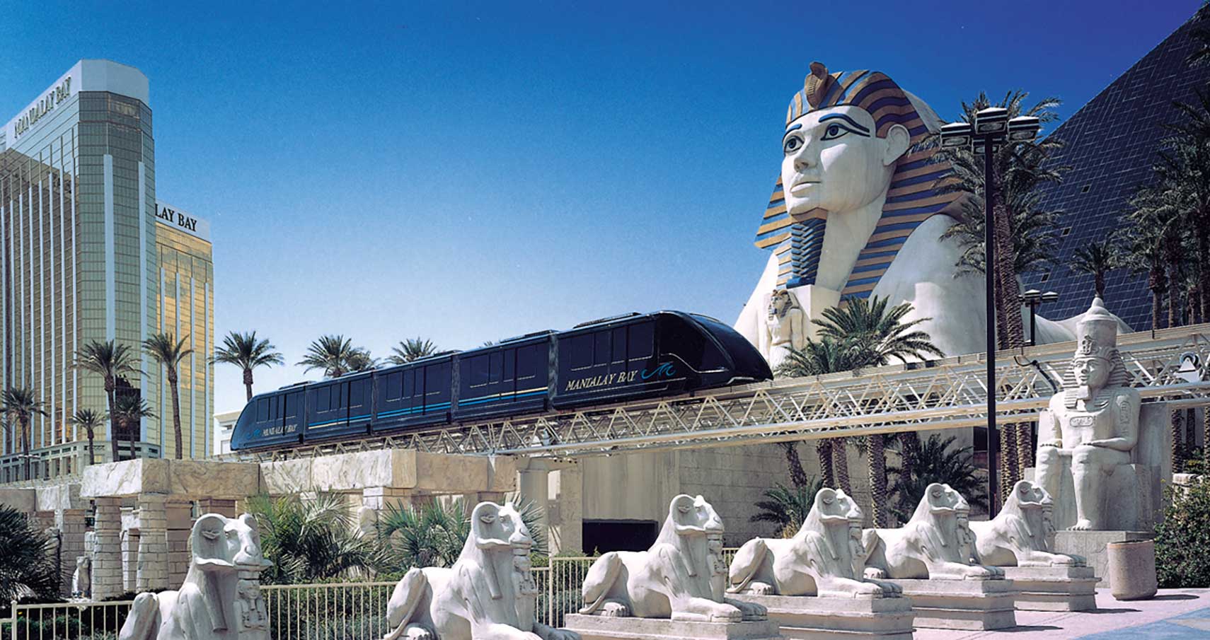 Mandalay Bay train in Las Vegas, the train connects three hotel casinos: the Excalibur, the Luxor and the Mandalay Bay Resort on the south end of Las Vegas Strip in Paradise. Image: doppelmayr |
About Las Vegas The satellite view shows Las Vegas, officially the City of Las Vegas, the most populous and principal city of the state of Nevada in the The satellite view shows Las Vegas, officially the City of Las Vegas, the most populous and principal city of the state of Nevada in the 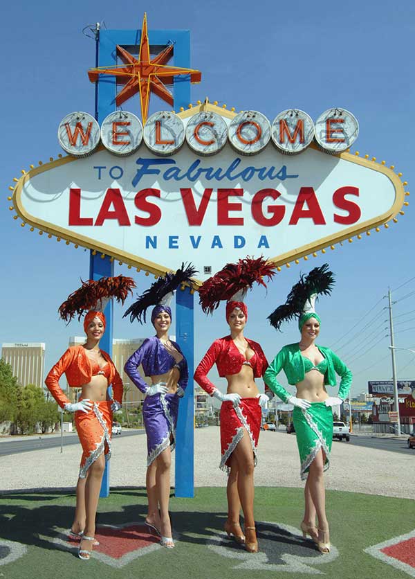 Welcome to Las Vegas. Photo courtesy of Las Vegas News Bureau. Today the city is known as the 'Gambling and Entertainment Capital of the World', the Sin City or as a Disneyland for Adults, an international vacation, shopping, and gambling resort. It is famous for its classy and lavish casino resorts with their tingling evening shows, its bright neon signs, replaced continuously to advertise new attractions - bigger, brighter, better. More and more the neon signs were replaced by new technologies like LED and Laser to illuminate the city by night. The old signs of old days Vegas glitz may be saved by the local Neon Museum Las Vegas has a population of about 624,000 inhabitants (in 2015), 2.1 million people live in the Las Vegas-Henderson-Paradise metropolitan area. The page shows a city map of Las Vegas with expressways, main roads, and streets, and the location of Mc Carran International Airport (IATA code: LAS) located 9 mi (14.5 km) by road in Paradise south of Vegas. Just zoom in to see a replica of the Eiffel Tower at Las Vegas Blvd. south east of Caesars Palace in the City Center. To find a location use the form below. To view just the map, click on the "Map" button. |
|
| To find a location type: street or place, city, optional: state, country. |
Local Time Las Vegas:
Thursday-April-25 07:38
Standard time zone Pacific Standard Time (PST): UTC/GMT -8 hoursPacific Daylight Time (PDT) in use from the second Sunday in March, ends on the first Sunday in November; time zone offset: UTC/GMT -7 hours |
|
φ Latitude, λ Longitude (of Map center; move the map to see coordinates): , |
||||||
| Sorry! Google's pricing policy has made it impossible for us to continue showing Google Maps. We apologize for any inconvenience. Google Map: Searchable Map of the City of Las Vegas, Nevada, USA. City Coordinates: 36°10′30″N 115°08′11″W |
Bookmark/share this page |
|||||
| More about Nevada and the USA: Other major Cities in Nevada: Nevada State: U.S. Cities: U.S. States: Country: Continent: |
Weather Conditions Las Vegas:
External Links: Las Vegas Official city website. Las Vegas Official Las Vegas Tourism Web Site. Las Vegas Review-Journal Local news. Las Vegas Sun More local news. Wikipedia: Las Vegas Wikipedia entry Las Vegas. |
Explore more:
Related Consumer Information:
|
||||
One World - Nations Online .:. let's care for this planet Promote that every nation assumes responsibility for our world. Nations Online Project is made to improve cross-cultural understanding and global awareness. More signal - less NOISE |
| Site Map
| Information Sources | Disclaimer | Copyright © 1998-2023 :: nationsonline.org |

