Nations Online
All Countries in the World
Nations Online All Countries in the World | |
Home  |
___ Searchable Map and Satellite View of the City of Dallas, Texas (with 45-degree image coverage) |
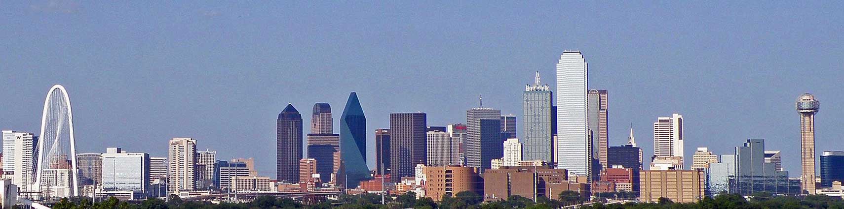 Dallas Downtown panorama. Image: Cordphaeton |
About Dallas |
 The satellite view shows Dallas, third-largest city in the state of Texas in the The satellite view shows Dallas, third-largest city in the state of Texas in the The city is located in northern Texas along the Trinity River. It is the ninth largest city in the US. Dallas was founded in 1841, today the city has a population of about 1.3 million inhabitants, 7.8 million live in the Dallas–Fort Worth metroplex (in 2015).  The Mustangs of Las Colinas, realistic bronze sculpture of nine wild mustangs galloping across a stream. The bronze sculpture by Robert Glen decorates Williams Square in Las Colinas in Irving. Photo: Pomník v Dallasu Dallas is a important center of education for much of the South Central United States. There are several universities, colleges, trade schools, and educational institutes, including the University of Texas at Dallas. Dallas' cultural attractions: Dallas Museum of Nature & Science, Dallas Museum of Art in the Dallas Arts District as well as the Morton H. Meyerson Symphony Center, and the Dallas Opera. Shopping areas are Bishop Arts, the Galleria Mall and North Park Mall. The Map shows a city map of Dallas with expressways, main roads and streets. Zoom out to find Addison Airport (IATA code: ADS) a public airport located in the town of Addison, about 9 mi (14 km) north of the central business district of the city. Dallas Love Field (IATA code: DAL) about 6 mi (9 km) northwest of the central business district and Dallas/Fort Worth International Airport (IATA code: DFW), located in north-west, between the cities of Dallas and Fort Worth. Just zoom in to see Downtown Dallas, the Central Business District in the city. To find a location use the form below. To view just the map, click on the "Map" button. |
|
| To find a location type: street or place, city, optional: state, country. |
Local Time Dallas:
Tuesday-April-23 20:11
Standard time zone: Central Standard Time (CST); UTC/GMT -6 hoursCentral Daylight Time (CDT) in use from the second Sunday in March, ends on the first Sunday in November; time zone offset: UTC/GMT -5 hours |
One World - Nations Online .:. let's care for this planet Promote that every nation assumes responsibility for our world. Nations Online Project is made to improve cross-cultural understanding and global awareness. More signal - less NOISE |
| Site Map
| Information Sources | Disclaimer | Copyright © 1998-2023 :: nationsonline.org |

