Nations Online
All Countries in the World
Nations Online All Countries in the World | |
Home  |
___ Searchable Map and Satellite View of the City of El Paso, Texas |
 Transmountain Road, Indian Peak and North Franklin Peak 7,142 ft (2,177 m) in the Franklin Mountain range seen from El Paso. Image: Hadley Paul Garland |
About El Paso |
 The satellite view shows El Paso, largest of the US-Mexican border cities in the State of Texas in the The satellite view shows El Paso, largest of the US-Mexican border cities in the State of Texas in the The county seat of El Paso County, Texas is located on the Rio Grande river at the foot of the Franklin Mountain range, across the border from the City of Juarez (Ciudad Juarez in Mexico) in the far western corner of the state of Texas at the border to New Mexico. 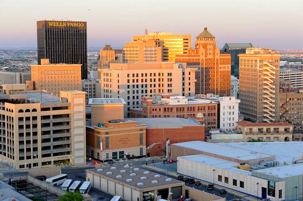 Downtown El Paso with Wells Fargo Plaza. Image: B575 Today El Paso has a population of 681,000 inhabitants (est. in 2015), in the metropolitan area, which is formed together with the Mexican City of Juarez, live more than 2.2 million people. El Paso is the second busiest border city behind San Diego and presence of U.S. federal government is beefed up with Fort Bliss, a United States Army post and federal law enforcement agencies like DEA domestic field division 7, El Paso Intelligence Center, Joint Task Force North, U.S. Border Patrol El Paso Sector and U.S. Border Patrol Special Operations Group (SOG). Just zoom in (+) to see Downtown El Paso, the central business district of El Paso with El Paso Museum of Art, Abraham Chavez Theatre, El Paso Museum of History, all around San Jacinto Square. Along the Mexico–United States border you can see a section of the fancy fences of the G.W. Bush era, the 640 mi (1,030 km) long border protection. The Map shows a city map of El Paso with expressways, main roads, and streets, El Paso International Airport (IATA code: ELP) is located 4.3 miles (7 km) by road, northeast of the central business district. To find a location use the form below. To view just the map, click on the "Map" button. |
|
| To find a location type: street or place, city, optional: state, country. |
Local Time El Paso:
Friday-April-26 01:52
Standard time zone: Mountain Standard Time (MST); UTC/GMT -7 hoursMountain Daylight Time (MDT) in use from the second Sunday in March, ends on the first Sunday in November; time zone offset: UTC/GMT -6 hours |
One World - Nations Online .:. let's care for this planet Promote that every nation assumes responsibility for our world. Nations Online Project is made to improve cross-cultural understanding and global awareness. More signal - less NOISE |
| Site Map
| Information Sources | Disclaimer | Copyright © 1998-2023 :: nationsonline.org |

