Nations Online
All Countries in the World
Nations Online All Countries in the World | |
Home  |
___ Satellite View and Map of the City of Baltimore, Maryland (with 45-degree image coverage) |
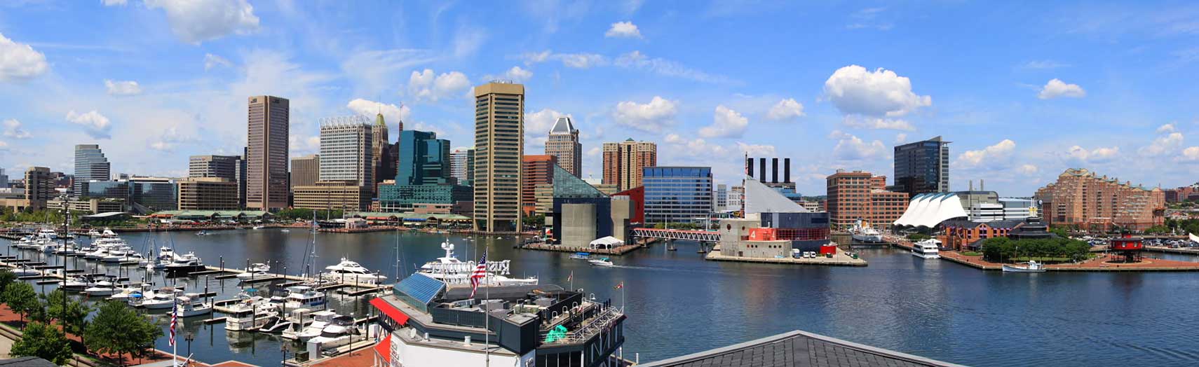 Panorama of Baltimore showing the Inner Harbor and adjacent buildings and landmarks like the Baltimore National Aquarium and the Pier Six Box Office. Image: Brlaw8 |
About Baltimore |
 Baltimore is a major seaport, an economic hub and Maryland's largest city. "The Greatest City in America" is located 38 mi (62 km) northeast of Washington D.C. and 105 mi (170 km) south west of Philadelphia, at the head of the Patapsco River estuary, 15 miles (24 km) above Chesapeake Bay in north-central Maryland, United States. Baltimore is not part of any county, making it the largest independent city in the United States Baltimore is a major seaport, an economic hub and Maryland's largest city. "The Greatest City in America" is located 38 mi (62 km) northeast of Washington D.C. and 105 mi (170 km) south west of Philadelphia, at the head of the Patapsco River estuary, 15 miles (24 km) above Chesapeake Bay in north-central Maryland, United States. Baltimore is not part of any county, making it the largest independent city in the United StatesThe area of today Baltimore was settled by English colonists in the early 17th century. For the tobacco trade with England the colonial government of Maryland created in 1706 the Port of Baltimore at old Whetstone Point of today South Baltimore. Some years later in 1729 the City of Baltomore was founded, it was named for Lord Baltimore (Cecil Calvert), the proprietary governor of Maryland. Baltimore Town grew rapidly in the 18th Century as a granary for sugar-producing colonies in the Caribbean. Today Baltimore has a population of about 622,000 inhabitants (est. 2015). 2.7 million people live in Baltimore-Towson metropolitan area. Formerly a center of steel processing, shipping and auto manufacturing, today Baltimore's economy is based on low-wage services, which accounts for 90%! of jobs in the city. 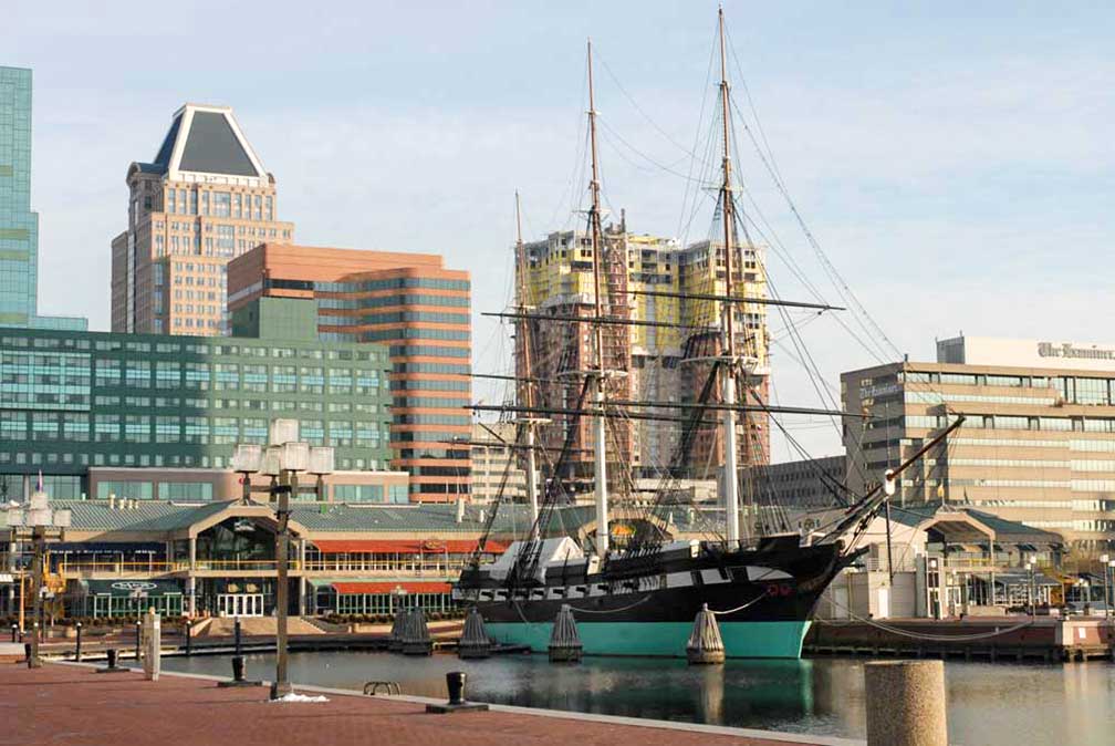 Baltimore's Harborplace with USS Constellation, the last sail-only warship designed and built by the US Navy. Image: Chuck Szmurlo Some points of interest in Baltimore: Places: Inner Harbor (core of Baltimore at Patapsco River estuary), around the Inner Harbor are the National Aquarium (marine life), the Maryland Science Center (Let's science), the Port Discovery Children's Museum (effective kid exhaustion comes at a price), Ripley's Believe It or Not (American franchise of cabinets of curiosities) and the Baltimore Museum of Industry (museum in an old cannery) Art Museums: American Visionary Art Museum (BLING UNIVERSE of visionaries art), the Walters Art Museum, internationally renowned for its collection of art, and the Baltimore Museum of Art - BMA (19th century and modern art). The Map shows a city map of Baltimore with expressways, main roads, and streets, zoom out to find Baltimore/Washington International (IATA code: BWI) about 10 miles (16 km) by road, south of Baltimore and 31 miles (50 km) by road, northeast of Washington, D.C.. To the east of Baltimore lies Martin State Airport (IATA code: MTN) 13 mi (21 km) by road, located near the town of Essex. To find a location use the form below. To view just the map, click on the "Map" button. |
|
| To find a location type: street or place, city, optional: state, country. |
Local Time Baltimore:
Wednsday-April-17 2024 15:03
Standard time zone Eastern (EST): UTC/GMT -5 hoursDaylight Saving Time (EDT) in use from the second Sunday in March, ends on the first Sunday in November; time zone offset: UTC/GMT -4 hours |
One World - Nations Online .:. let's care for this planet Promote that every nation assumes responsibility for our world. Nations Online Project is made to improve cross-cultural understanding and global awareness. More signal - less NOISE |
| Site Map
| Information Sources | Disclaimer | Copyright © 1998-2023 :: nationsonline.org |

