Nations Online
All Countries in the World
Nations Online All Countries in the World | |
Home  |
___ Searchable Map and Satellite View of the City of Houston (TX) |
 View from the University of Houston, the skyline of the Central Business District of Houston, Texas. Image: Agsftw |
About Houston |
 The satellite view shows Houston, one of the busiest seaports in the United States and largest city in the state of Texas. It is the fourth most populous city in the The satellite view shows Houston, one of the busiest seaports in the United States and largest city in the state of Texas. It is the fourth most populous city in the Houston was founded in 1836, and incorporated as a city on June 5, 1837. The city was named for General Sam Houston, president of the Republic of Texas from 1836 to 1838. Today the city is considered to be a 'Global City', due to its international connections as the top U.S. market for exports, Houston's harbor is one of the US's busiest seaports. Houston is home to the Texas Medical Center, the world's largest concentration of health care and research institutions, and NASA's Johnson Space Center, with its Mission Control Center. Houston has a population of 2.24 million residents (in 2016). It is the core city of Greater Houston (Houston-The Woodlands-Sugar Land), a nine-county metropolitan area with a population of 6.48 million people (in 2016 est.)[1] The city is home to a respected arts community, the oldest African-American theater in the Southwest and the brains behind United States space exploration. Houston points of interest:  Space Shuttle Endeavour is ferried by NASA's Shuttle Carrier Aircraft (SCA) over Clear Lake area, south of Houston. Photo: NASA Archive Historic Places: San Jacinto Battleground State Historic Site (location of the Battle of San Jacinto, the decisive battle of the Texas Revolution), USS Texas (BB-35) (New York-class battleship, the Mighty T is now a museum ship at San Jacinto Battleground State Historic Site) 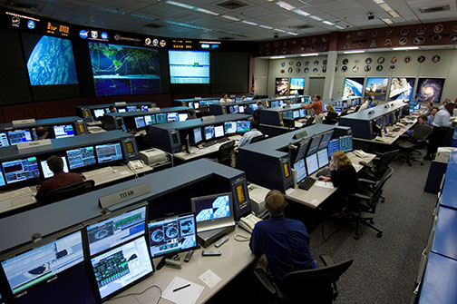 International Space Station, Flight Control Room 1, at Mission Control Center of NASA's Johnson Space Center. Photo: NASA Archive Theater: Alley Theatre (theater with two stages), Wortham Theater Center (performing arts center for classical and modern performances), Jones Hall (home of the Houston Symphony Orchestra), Hobby Center for the Performing Arts (downtown theater at Tranquility Park, with the big Sarofim Hall theater and the smaller Zilkha Hall, home to WHAT? Uniquely Houston) Parks: Hermann Park (public park and home to numerous cultural institutions including a Japanese Garden), Houston Zoo (urban zoological park), Bayou Bend Collection and Gardens (facility of the Museum of Fine Arts (MFAH)), Houston Arboretum and Nature Center (public arboretum and nature center), Memorial Park (municipal park and one of the largest urban parks in the United States), Market Square Park (historic public park), Mercer Arboretum and Botanic Gardens (botanical gardens with an arboretum and natural areas), Discovery Green (municipal park ) Shopping: The Galleria (shopping mall with a skating rink) Sports: Minute Maid Park (baseball), Toyota Center (indoor sports arena), NRG Stadium (huge multi-purpose stadium with a sliding roof, hosting football games, rodeos, concerts, etc.), BBVA Compass Stadium (soccer) The page shows a city map of Houston with expressways, main roads, and streets, William P. Hobby Airport (IATA code: HOU) is located 8 m (13 km) southeast of the central business district. Zoom out to find Houston George Bush Intercontinental Airport (IATA code: IAH) in north, distance from city center: 20 miles (33 km) by road (via Hardy Toll Road). Zoom out to find Lyndon B. Johnson Space Center (blue marker) located in the Bay Area of southeast Houston. Space Center Houston is the National Aeronautics and Space Administration's center for American human spaceflight activities. To find a location use the form below. To view just the map, click on the "Map" button. |
|
| To find a location type: street or place, city, optional: state, country. |
Local Time Houston:
Wednsday-April-24 09:41
Standard time zone: Central Standard Time (CST); UTC/GMT -6 hours
Central Daylight Time (CDT) in use from the second Sunday in March, ends on the first Sunday in November; time zone offset: UTC/GMT -5 hours |
One World - Nations Online .:. let's care for this planet Promote that every nation assumes responsibility for our world. Nations Online Project is made to improve cross-cultural understanding and global awareness. More signal - less NOISE |
| Site Map
| Information Sources | Disclaimer | Copyright © 1998-2023 :: nationsonline.org |


