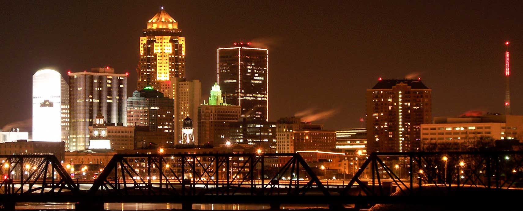
About Des Moines
The satellite view shows Des Moines, capital and the most populous city of
Iowa, a landlocked state in the
 United States
. The town is located in the south-central part of Iowa, where the Raccoon River feeds into the Des Moines River. Closest larger city in 333 mi (536 km) is
Chicago in the east.
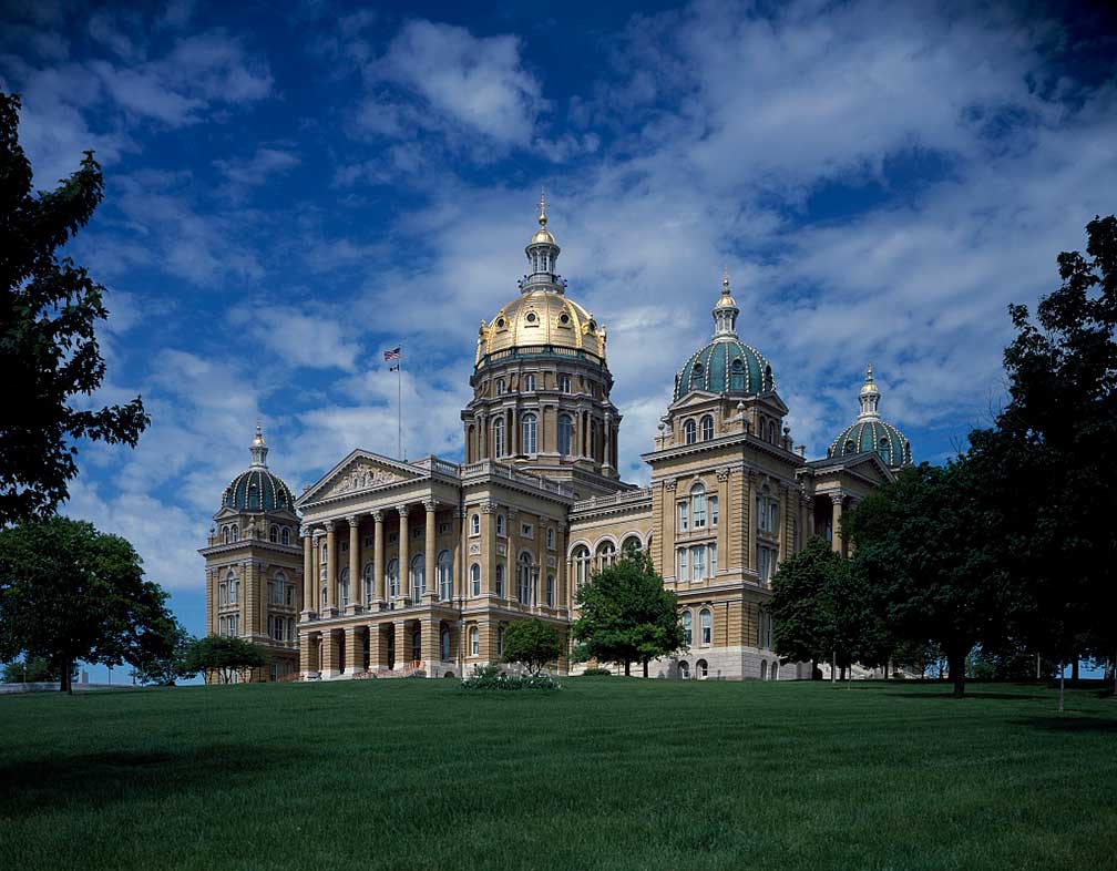 Iowa State Capitol, Des Moines. The Capitol is the seat of the Iowa General Assembly.
In 1843 the U.S. Army established the second Fort Des Moines to keep the local natives at bay. The fort was not much later abandoned, and settlers occupied the area. In 1849 the first stagecoach arrived at Fort Des Moines and established a link to the cities in the east.
In 1851 the settlement was incorporated, and six years later the Iowa state capital was relocated from Iowa City to the more central town of Des Moines, inhabitants at that time, about 4,000.
Today Des Moines has a population of about 217,500 inhabitants (in 2017), about 646,000 people live in Des Moines-West Des Moines, IA Metro Area.
The city is home to Drake University (
www.drake.edu), a midsized private, co-educational university.
The city's economy relies on
financial, insurance, data processing, and logistical services; largest employers are Wells Fargo & Co, Mercy Medical Center, UnityPoint Health and Principal Financial Group.
Des Moines main points of interest:
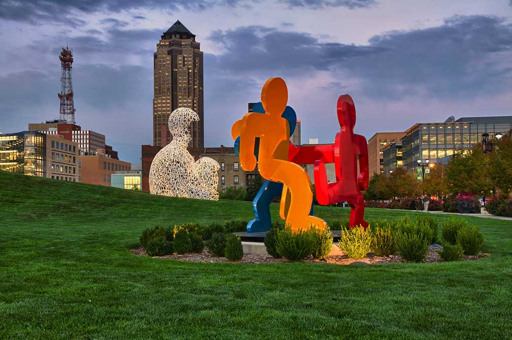 John and Mary Pappajohn Sculpture Park in Des Moines.
Image: Jason Mrachina
Historic sites:
Iowa State Capitol, built between 1871 and 1886, the Renaissance style building houses the Iowa Senate, Iowa House of Representatives, the Office of the Governor, and the Offices of the Attorney General, Auditor, Treasurer, and Secretary of State.
Terrace Hill, Iowa Governor's Mansion, the official residence of the Governor of Iowa.
Jordan House is a historic building in West Des Moines, a former safe house of the 'Underground Railroad,' used by 19th-century enslaved people in the United States in efforts to escape to free states and Canada.
Polk County Courthouse, the Beaux-Arts style county courthouse was built in 1906.
Places:
East Village, the commercial and residential neighborhood in central Des Moines, home to the Iowa State Capitol, and the
State of Iowa Historical Museum (
iowaculture.gov/history/museum).
Convention center:
The
Community Choice Credit Union Convention Center (formerly Veterans Memorial Auditorium) and the
Hy-Vee Hall, an exhibition hall, are Des Moines' convention and event venues, they are part of Iowa Events Center (
www.iowaeventscenter.com).
Churches:
Basilica of St. John is a Minor Basilica in Romanesque Revival style built between 1913 and 1927.
Visual arts:
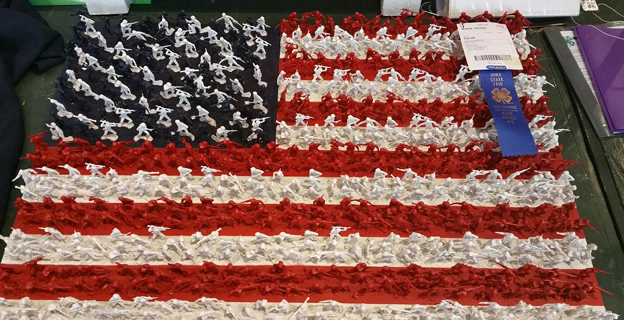 Military Flag artwork for Iowa 4-H Foundation, awarded at Iowa State Fair 2017 in Des Moines.
Image: Carol VanHook
(
www.desmoinesartcenter.org), is Des Moines art museum, established in 1948. The museum has an extensive permanent collection of 20th-and 21st-century works of modern and contemporary art, paintings, sculpture, modern art, and mixed media.
Performing arts:
Civic Center of Greater Des Moines (
desmoinesperformingarts.org) a 2,744-seat performing arts center and theater. Other Des Moines Performing Arts venues are the Temple Theater, home to Des Moines Symphony Orchestra (
dmsymphony.org), the Stoner Theater, and the Cowles Commons.
Hoyt Sherman Place (
hoytsherman.org) is a historic landmark with an art gallery, an entertainment venue, and a theater, home to the Ballet Des Moines company (
www.balletdesmoines.org).
Des Moines Metro Opera (
desmoinesmetroopera.org) summer opera festival in Indianola.
Parks:
Greater Des Moines Botanical Garden (
www.dmbotanicalgarden.com) seven-acre botanical garden with a domed city greenhouse in downtown Des Moines.
Blank Park Zoo (
www.blankparkzoo.com) is a 25-acre zoological park and the only accredited zoo in the state of Iowa.
Living History Farms (
www.lhf.org) 500-acre open-air museum located in Urbandale shows 300 years of Iowa's agricultural history.
Fairs:
Iowa State Fair (
www.iowastatefair.org), an annual state fair held in Des Moines, Iowa in August; according to the organizer the fair attracts more than a million people from around the world.
Shopping:
Merle Hay Mall (
www.merlehaymall.com), shopping, dining, movies, entertainment; it is the oldest regional shopping center in Iowa.
Jordan Creek Town Center (
www.jordancreektowncenter.com) a shopping mall and lifestyle center in West-Des Moines.
Theme park:
Adventureland (
www.adventurelandresort.com) an amusement park in Altoona, featuring over 100 rides, shows, and attractions.
Sports:
Drake Stadium is a track and field stadium on the campus of Drake University, home to the Drake Bulldogs (
godrakebulldogs.com) and the Drake Relays an annual outdoor track and field event.
Prairie Meadows (
www.prairiemeadows.com) a horse racing facility and casino in Altoona.
Wells Fargo Arena (
www.iowaeventscenter.com) is a 16,980-seat multi-purpose arena, Des Moines' primary venue for sporting events and concerts.
Principal Park is a minor league baseball stadium.
Just zoom in to see Iowa State Capitol, the seat of the Iowa General Assembly.
The Map shows a city map of Des Moines with expressways, main roads, and streets.
Des Moines International Airport (
IATA code: DSM) is located 6.5 mi (10 km) by road southwest of the central business district of the city.
To find a location use the form below.

