Advertising

Oman Flag detail
Home Earth Continents Asia Oman Country Profile Oman Map

Satellite View and Map of Oman


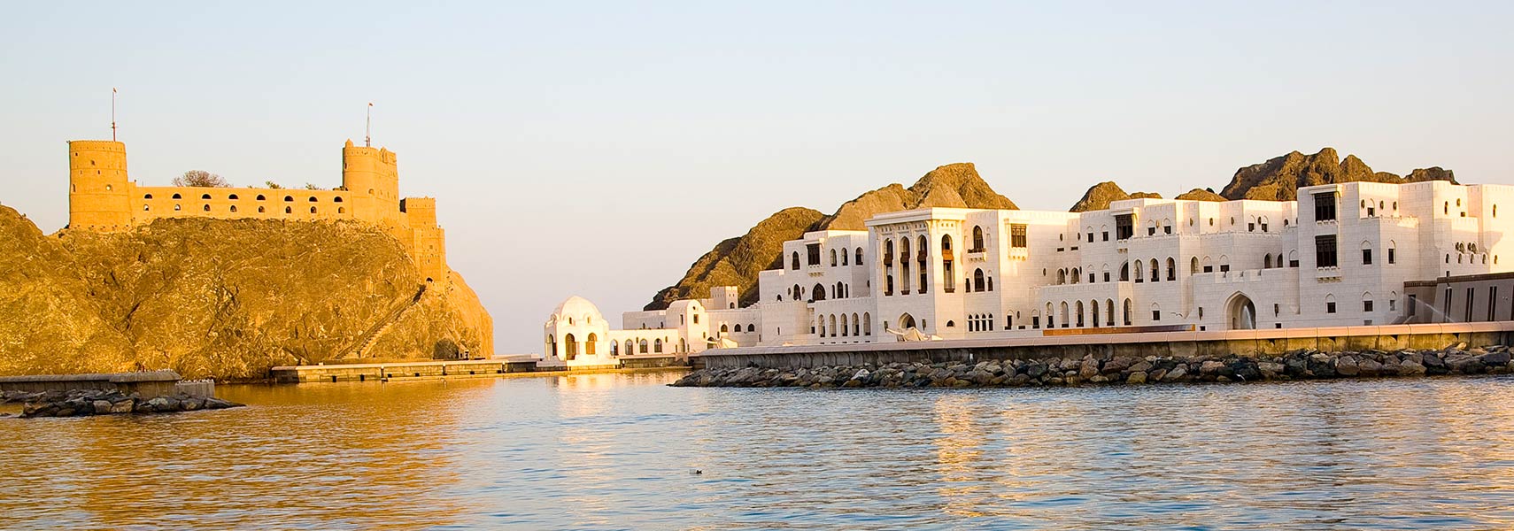
Fort al-Jalali, Old Muscat, Oman
Portuguese built Fort al-Jalali, Old Muscat, Oman
Image: Andries Oudshoorn


About Oman


Oman seal
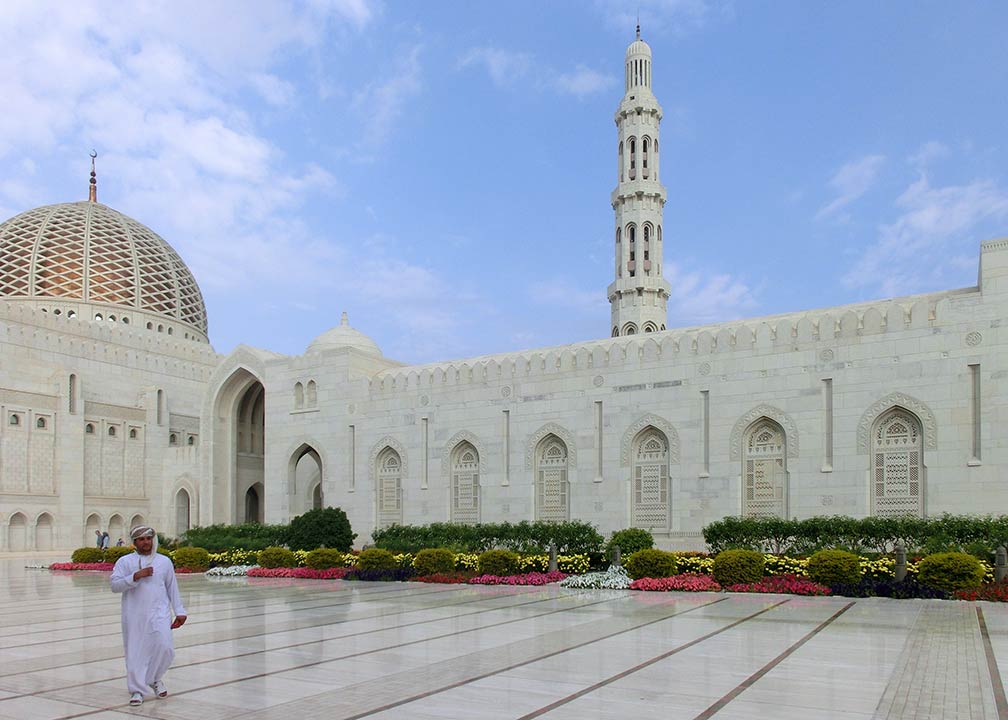
Sultan Qaboos Grand Mosque in Muscat, Oman
Sultan Qaboos Grand Mosque in Muscat. It is Oman's most important mosque.
Image: Meifen

The satellite view and the map shows Oman, officially the Sultanate of Oman, an Arabian country in the Middle East. The sultanate is located in the southeastern part of the Arabian Peninsula between Yemen and the United Arab Emirates. It borders Saudi Arabia in the west; it is bounded by the Arabian Sea, the Gulf of Oman, and the Persian Gulf. The country also shares maritime borders with Iran and Pakistan.

Oman was an independent sultanate known as Muscat and Oman until 1970. The country was the most influential power in the region during the 19th century; it controlled the African island of Zanzibar and other territories. Since the late 19th century, it has had strong links with the United Kingdom.

With an area of 309,500 km², the sultanate is slightly smaller than Poland, or somewhat larger than the US state of Arizona.

Today Oman has a population of 4.7 million people (in 2019, Omanis 2.6 million (56%); Expatriates 2 million (44%)). The capital and largest city is Muscat (pop. more than 600,000). Spoken language is Arabic (official).

The map shows Oman with cities, towns, expressways, and main roads.

 
To find a location use the form below.


Sorry! Google's pricing policy has made it impossible for us to continue showing Google Maps. We apologize for any inconvenience.

Google Map: Searchable map and satellite view of Oman.

Geographic coordinates: 21 00 N, 57 00 E

φ Latitude, λ Longitude (of Map center; move the map to see coordinates):

,


Bookmark/share this page
  Instagram button

Weather Conditions Muscat:

MUSCAT WEATHER
 

Advertisements:


Searchable Maps of other Countries in Western Asia and Middle East:
Armenia | Azerbaijan | Bahrain | Cyprus | Georgia | Iraq | Israel | Jordan | Kuwait | Lebanon | Oman | Palestinian territories | Qatar | Saudi Arabia | Syria | Turkey | United Arab Emirates | Yemen

Cities in Western Asia and the Middle East Region:
Abu Dhabi | Aden | Alexandria | Amman | Ankara | Baghdad | Baku | Beirut | Damascus | Doha | Dubai (City) | Jerusalem | Kuwait (City) | Luxor | Manama | MeccaMuscat | Nazareth | Nicosia | Port Said | Riyadh | Sanaa | Sharm el-Sheikh | Suez | Tehran | Tel Aviv
 
Political Maps of other Countries in the Middle East:
Bahrain Map, Cyprus Map, Egypt Map, Iran Map, Iraq Map, Israel Map, Jordan Map, Kuwait Map, Lebanon Map, Oman Map, Qatar Map, Saudi Arabia Map, Syria Map, Turkey Map, Yemen Map 

Map Help [ show ]
up