About Saudi Arabia
The satellite view and the map shows the Arab country officially known as the
Kingdom of Saudi Arabia. Saudi Arabia occupies most of the
Arabian Peninsula, bounded by the Red Sea in the west and the Persian Gulf in the east. Countries with international borders to Saudi Arabia are
Bahrain (by a causeway),
Iraq,
Jordan,
Kuwait,
Oman,
Qatar, the
UAE, and
Yemen.
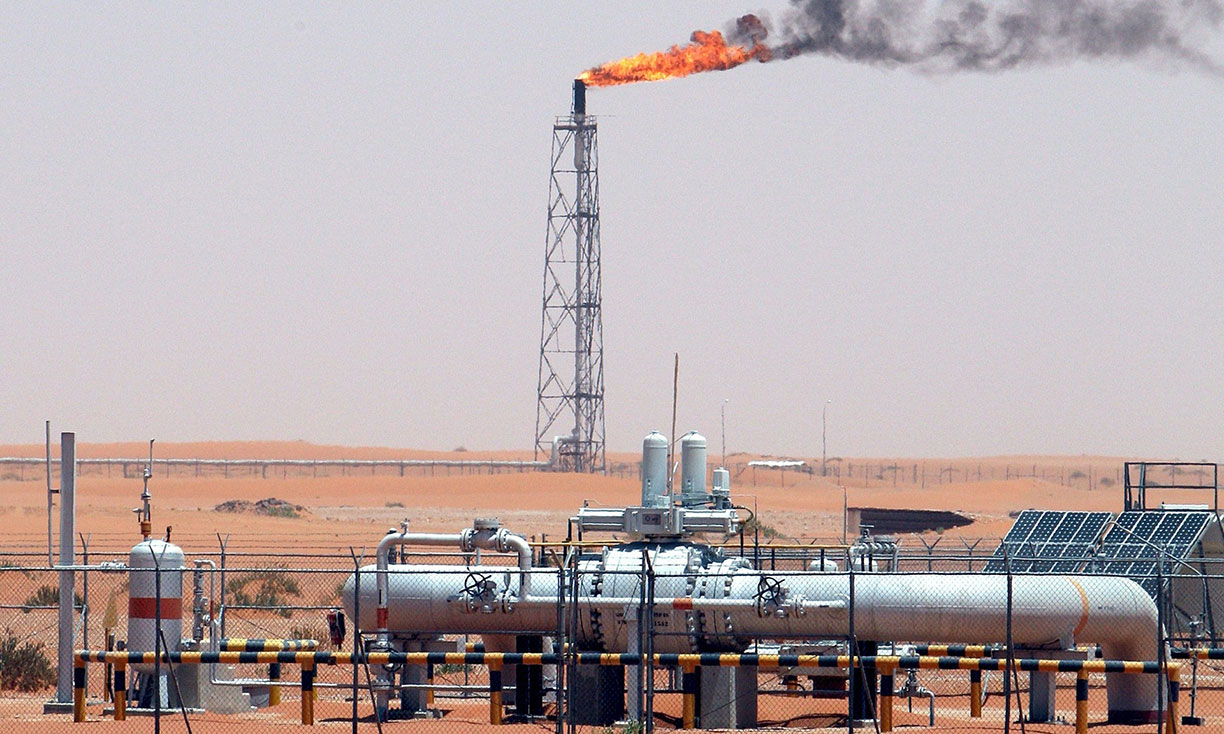
 Khurais oil field in Saudi Arabia, the country is the largest oil producer in the Middle East.
Image: The Guardian: Ali Haider/EPA
Saudi Arabia is the largest Arab state in
Western Asia with an
area of more than 2 million km²; it is almost four times the size of
Metropolitan France or somewhat larger than
Mexico.
Saudi Arabia occupies a
land area of more than two million km²; the sheikdom is about four times the size of
France, or somewhat larger than one quarter the size of the contiguous
United States.
The country has a
population of 33.4 million people (in 2018); about one-third are expatriates. The House of Saud rules the Kingdom along traditional Islamic lines. The legal system of Saudi Arabia is based on Sharia law in an (until now) uncodified form.
The country is the largest oil producer in the Middle East; the proven oil reserves in Saudi Arabia are the second largest in the world, estimated to be 268 billion barrels.
The capital and largest city is
Riyadh. Spoken
language is Arabic (official).
The map shows Saudi Arabia with cities, towns, expressways, and main roads.
To find a location use the form below.


