Advertising

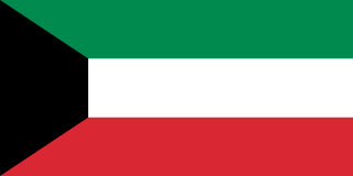
Kuwait  Flag detail
Home Earth Continents Asia Kuwait Country Profile Kuwait Map

Satellite View and Map of Kuwait


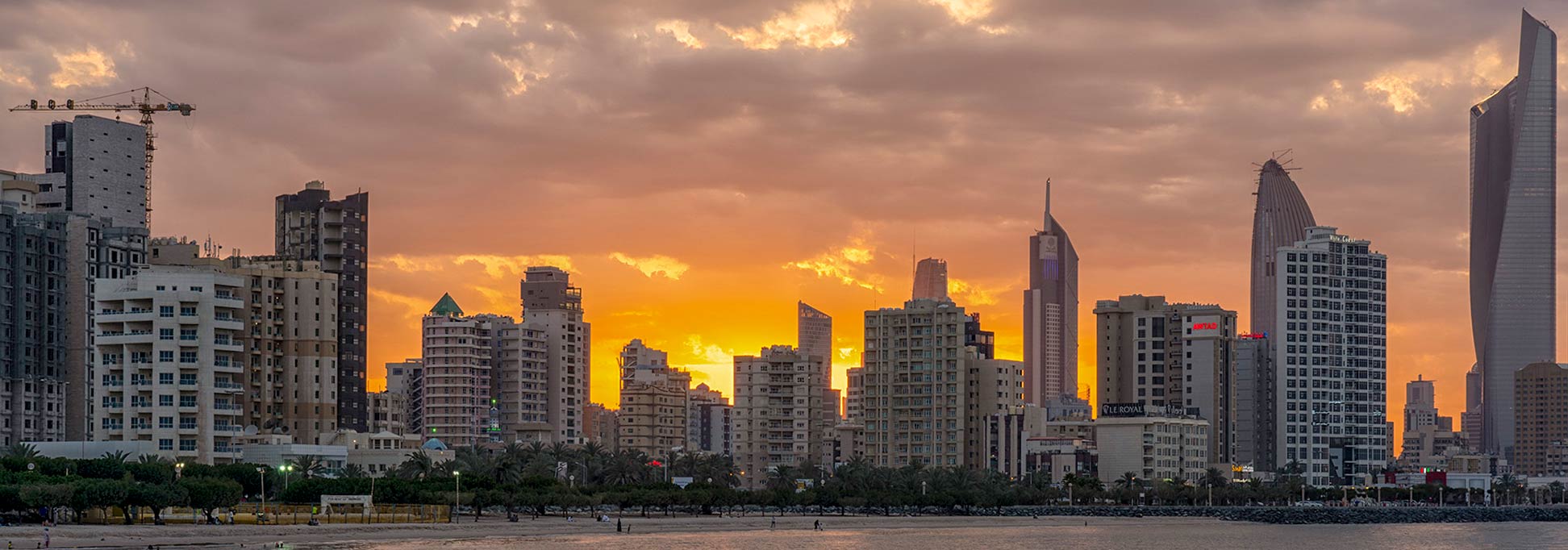
Skyline of Kuwait City at dawn.
Image: hamad M
 

About Kuwait


Kuwait Flag
The satellite view and the map shows Kuwait, officially the State of Kuwait, the Middle Eastern Arab country on the north-eastern edge of the Arabian Peninsula, bordering the Persian Gulf (Arabian Gulf) in the east.
Other countries with international borders to Kuwait are Iraq and Saudi Arabia; the emirate also shares maritime borders with Iran.

Kuwait covers an area of 17,818 km²; making it about half the size of the Netherlands or slightly smaller than the US state of New Jersey.

The emirate has a population of 4.6 million people (in 2019); about 70% of the entire population are expatriates, and 30% are Kuwaiti nationals. The capital and the largest city is Kuwait (City) situated on the southern shore of Kuwait Bay at the Persian Gulf.

Spoken language is Arabic; colloquial language is Iraqi-Arabic. The commercial language is English.

The map shows Kuwait with main roads and streets and the location of Kuwait International Airport (IATA code: KWI). The only international airport in the state is located 20 km (12.5 mi) by road (via Route 50), south of the city.


To find a location use the form below.


Sorry! Google's pricing policy has made it impossible for us to continue showing Google Maps. We apologize for any inconvenience.

Google Map: Searchable map and satellite view of Kuwait.


Geographic Coordinates: 29°30'N, 45°45'E

φ Latitude, λ Longitude (of Map center; move the map to see coordinates):

,


Bookmark/share this page
  Instagram button

Weather Conditions Al Kuwait:

KUWAIT CITY WEATHER


Advertisements:


Political Maps of Countries in the Middle East:
Bahrain Map, Cyprus Map, Egypt Map, Iran Map, Iraq Map, Israel Map, Kuwait Map, Jordan Map, Lebanon Map, Oman Map, Qatar Map, Saudi Arabia Map, Syria Map, Turkey Map, United Arab Emirates Map, Yemen Map 

Searchable Maps of other Countries in Western Asia and Middle East:
Armenia | Azerbaijan | Bahrain | Cyprus | Georgia | Iraq | Israel | Jordan | Lebanon | Oman | Palestinian territories | Qatar | Saudi Arabia | Syria | Turkey | United Arab Emirates | Yemen

Searchable Maps of Cities in the Middle East Region:
Abu Dhabi | Aden | Alexandria | Amman | Ankara | Baghdad | Baku | Beirut | Damascus | Doha | Dubai | Jerusalem | Luxor | Manama | MeccaMuscat | Nazareth | Nicosia | Port Said | Riyadh | Sana'a | Sharm el-Sheikh | Suez | Tehran | Tel Aviv

Map Help [ show ]
up