Nations Online
All Countries in the World
Nations Online All Countries in the World | |
Home  |
___ Satellite View and Map of Armenia |
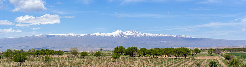 Mount Aragats a large stratovolcano with a hight of 4,090 m (13,419 ft), located in the Aragatsotn province, northwest from Yerevan is Armenia's highest mountain. Image: Serouj Ourishian |
Searchable Map and Satellite View of Armenia using Google Earth DataSatellite view is showing Armenia, a landlocked country in the southern Caucasus.Armenia has a population of 3 million inhabitants. Capital City is Yerevan. Spoken language is Armenian Countries with international borders to Armenia are Azerbaijan, Georgia, Iran, and Turkey. The map shows Armenia with national parks, Sevana Lich lake, cities, towns, expressways,and main roads and streets. To find a location use the form below. |
|
| To find a location type: street or place, city, optional: state, country. | Local Time Armenia:
Thursday-April-25 20:20
Standard time zone: Armenia Time (AMT) :: UTC/GMT +4 hours |
|
φ Latitude, λ Longitude (of Map center; move the map to see coordinates): , |
||||||
| Google Maps: Searchable Map of Armenia (Hayastan). |
Bookmark/share this page |
|||||
| More about Armenia: Armenia key statistical data. |
Weather Conditions Yerevan:
|
Related Consumer Information:
|
||||
Searchable Maps of other Countries in Western Asia and Middle East: Armenia | Azerbaijan | Bahrain | Cyprus | Georgia | Iraq | Israel | Jordan | Kuwait | Lebanon | Oman | Palestinian territories | Qatar | Saudi Arabia | Syria | Turkey | United Arab Emirates | Yemen Countries and Territories of Asia |
||||||
Map Help [ show ] |
||||||
One World - Nations Online .:. let's care for this planet Promote that every nation assumes responsibility for our world. Nations Online Project is made to improve cross-cultural understanding and global awareness. More signal - less NOISE |
| Site Map
| Information Sources | Disclaimer | Copyright © 1998-2023 :: nationsonline.org |

