Advertising

United Kingdom Flag detail
Home Earth Continents Europe United Kingdom Country Profile Map of the United Kingdom

Maps Index

Map of the United Kingdom, England, Wales, Scotland, and Northern Ireland


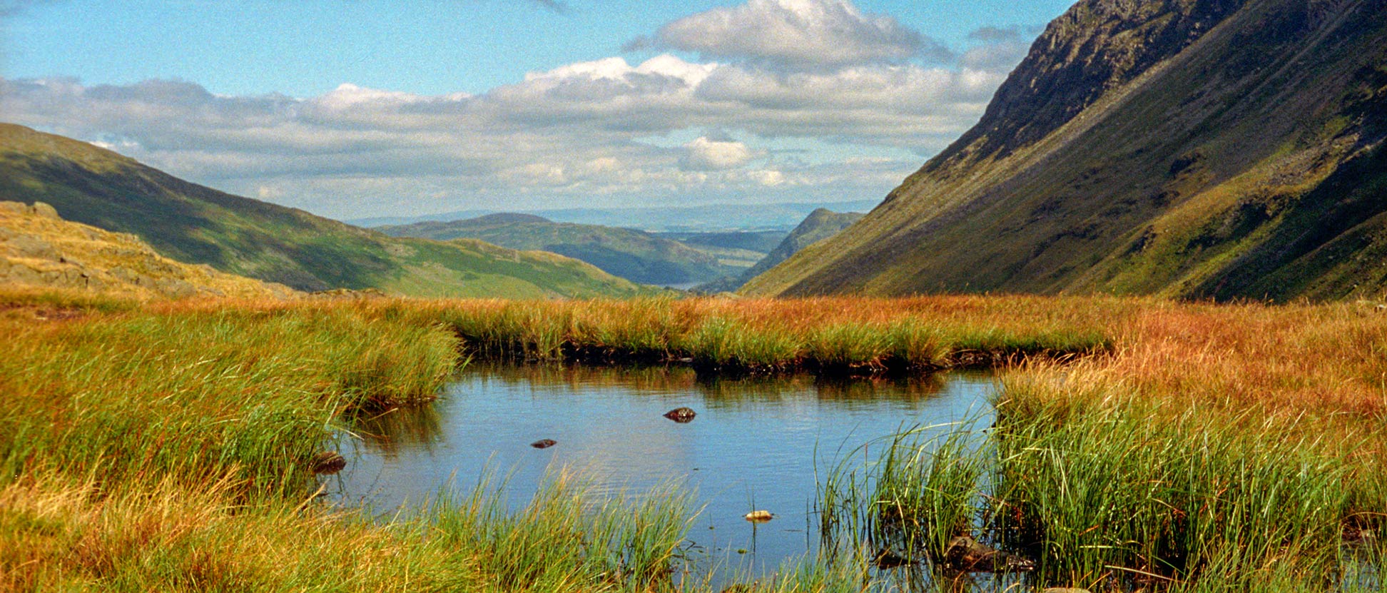
English landscape with bog, United Kingdom
A bog on the 'coast to coast walk' somewhere in England.
Image: Amada44

About the United Kingdom


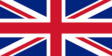
United Kingdom Flag (Union Jack)
UK topographic map
The topographic map shows Great Britain, which is the name for the island that comprises England, Scotland, and Wales (on the right) and the northeastern part of Ireland, the island that is home to the Republic of Ireland and Northern Ireland, a province of the United Kingdom (on the left).
Image: CB


The map shows the United Kingdom of Great Britain and Northern Ireland, commonly known as England, or the United Kingdom, often happily abbreviated to UK.
Great Britain is one of the few remaining kingdoms in Europe; the island nation consists of three countries: England, Wales, and Scotland, plus the province of Northern Ireland, which occupies the northeastern part of the island of Ireland.


The United Kingdom is situated on an archipelago known as the British Isles, which consists of the main islands of Great Britain and Ireland, and several surrounding island groups, such as the Hebrides, the Shetlands, the Orkneys, the Isle of Man, and the Isle of Wight.
The United Kingdom is located between the North Atlantic Ocean in the west and the North Sea in the east, north of the English Channel, and off France's northern coast.


The UK has only one land border, and that is on the island of Ireland. Since 1994 the Channel Tunnel beneath the English Channel links the UK with France. The United Kingdom shares maritime borders with Belgium, Denmark, France, Germany, the Netherlands, Norway, and the Faroe Islands (Denmark).

With an area of 242,900 km², the United Kingdom is about half the size of Spain, or slightly larger than half the size of the U.S. state of California.

The kingdom has a population of 66.8 million people (in 2019). The capital, largest city, and the country's political and financial center is London.

The UK's official language is English; recognized regional languages are Scots, Scottish Gaelic, Welsh, Irish, and Cornish. The official religion of the United Kingdom is Christianity, but churches of all denominations can be found throughout the country.


Keywords: Map of Great Britain and Ireland, Map of England, Scotland, Wales, and Northern Ireland, UK Map, Map of the United Kingdom. 
Map of United Kingdom

Political Map of the United Kingdom, England, Scotland, and Wales, and Northern Ireland
Political Map of United Kingdom (UK) showing England, Scotland, Wales, and the province of Northern Ireland.

The map shows the United Kingdom and nearby nations with international borders, the three countries of the UK, England, Scotland, and Wales, and the province of Northern Ireland, the national capital London, country capitals, major cities, main roads, and major airports.

You are free to use the above map for educational and similar purposes; please refer to the Nations Online Project.


More about the United Kingdom


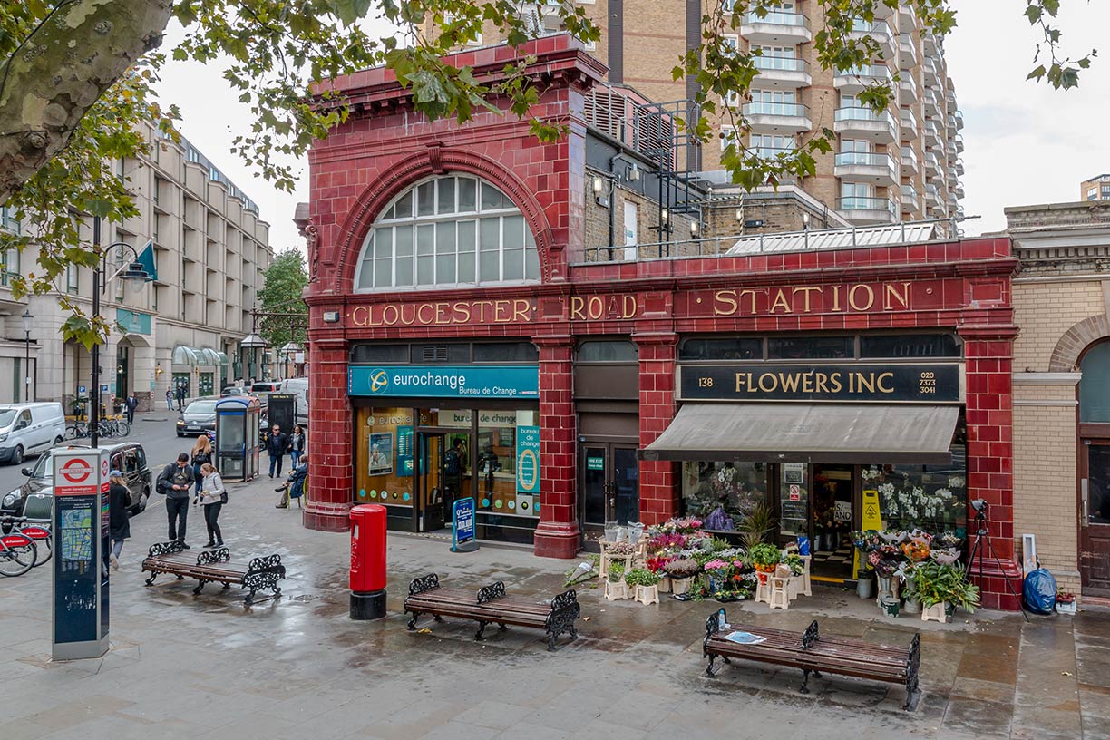
Gloucester Road Station in London, England, United Kingdom
Gloucester Road Station in London, England, UK.
Photo: Dietmar Rabich (XRay)


Highlights of British Geography

The Royal Greenwich Observatory, in South East London, is the defining point of the Prime Meridian (Longitude 0°).

The highest elevation in Britain is Ben Nevis 1,344 m (4,409 ft); the mountain is located in the Grampian range, one of the three major mountain ranges in the Scottish Highlands.

The longest river in Great Britain is the Severn with a length of about 354 kilometers (220 mi); the river runs through Wales and England's central region and empties into the Bristol Channel.

The largest lakes in the United Kingdom are Lough Neagh, the largest body of water in the kingdom is in Northern Ireland, as is Lough Erne, which consists of two connected lakes in Fermanagh county.


UK's countries

The Uk consists of three countries and one province.

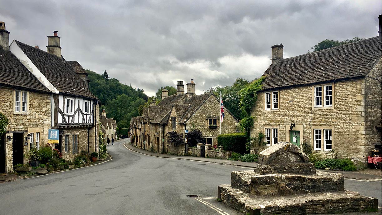
Castle Combein in Wiltshire, England, United Kingdom
Castle Combe in Wiltshire, England.
Photo: Olivier Collet


Scotland is divided into three distinct geographical areas:
1. the mountainous, sparsely populated Highlands at the northern end of Great Britain are one of two main historical regions in Scotland, the Highland Boundary Fault separates them from the Scottish Lowlands.
2. the relatively low-lying Central plain (Central Belt), the area with the highest populational because most of the major cities of Scotland are situated there.
3. the southernmost part in Scotland, the Southern Uplands, is a mainly agricultural region with nice hills and valleys.

Wales (Welsh: Cymru) is situated to the west of central England and bordered by the Irish Sea to the north and west and the Bristol Channel to the south. It is generally a mountainous country, particularly in the northern and central regions. The highest mountain is Snowdon with 1,085 m (3,560 ft).

England occupies the central and southern two-thirds of the island of Great Britain. The longest river entirely in England is the Thames, with 346 km (215 mi).
The northern part of England is dominated by the Pennines, a low-rising mountain range, considered one of the most scenic areas in the United Kingdom. South of the Pennine Hills are the rolling hills of the English Lowlands, England's portion of the European Plain.
 

Cities and Towns in the United Kingdom:

The map shows the location of the following cities in Great Britain:

The largest Cities are London (Greater London: 8.67 million), Birmingham (1.1 million), Leeds (750,000), Glasgow (620,000), Liverpool (534,900), Sheffield (552,000), Manchester (545,000), Bradford (522,000), Edinburgh (468,000), Bristol (428,000).

Other cities and towns:
Aberdeen, Aberystwyth, Ayr, Bangor, Bath, Belfast, Blackpool, Bournemouth, Brighton, Cambridge, Canterbury, Cardiff, Carlisle, Chester, Colchester, Coventry, Douglas, Dover, Dumfries, Dundee, Exeter, Folkestone, Gloucester, Grimsby, Hastings, Holyhead, HullYork, Inverness, Ipswich, Leicester, Lerwick, Londonderry, Middlesbrough, Newcastle upon Tyne, Newport, Newtown, Northampton, Norwich, Nottingham, Omagh, Oxford, Penzance, Perth, Peterborough, Plymouth, Poole, Portsmouth, Preston, Reading, Scarborough, Shrewsbury, Southampton, Southend on-Sea, St Albans, Stoke-on-Trent, Stranraer, Swansea, Torquay, Wolverhampton, and Worcester

 
Advertisements:


Weather Conditions London:

LONDON WEATHER


Advertisements:


Maps of Countries in Northern Europe
Denmark Map, Estonia Map, European Russia Map, Faroe Islands Map, Finland Map, Greenland Map, Iceland Map, Ireland Map, Latvia Map, Lithuania Map, Norway Map, Sweden Map, United Kingdom Map

Interactive Maps of other countries and regions in Northern Europe:
Denmark Interactive Map, Estonia Interactive Map, Faroe Islands Interactive Map, Finland Interactive Map, Greenland Interactive Map, Iceland Interactive Map, Ireland Interactive Map, Latvia Interactive Map, Lithuania Interactive Map, Norway Interactive Map, Sweden Interactive Map

Major Cities in Northern Europe
Belfast | Birmingham | Cardiff | Copenhagen | Dublin | Edinburgh | Glasgow | Helsinki | Liverpool | London | Malmö | Manchester | Moscow | Nuuk | Oslo | Reykjavik | Riga | Saint Petersburg | Stockholm | Tallinn | Vilnius
up