Advertising

Home Earth Continents Europe Denmark Faroe Islands Profile Map of the Faroe Islands

Maps Index

Map of the Faroe Islands (Denmark) Europe


Faroe Islands panorama view from from Norðradalur, Streymoy island
Panorama view from Norðradalur on Streymoy island with the islands of Hestur, Koltur, and distant Sandoy.
Image: Maciej Brencz

About the Faroe Islands


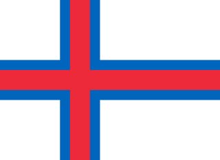
Faroe Islands Flag
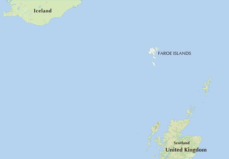
Location map of the Faroe Islands between Iceland and Scotland in the North Atlantic Ocean
Location of the Faroe Islands in the North Atlantic Ocean, between Iceland in the northwest and Scotland in the south.

The map shows the Faroe Islands, a group of 18 islands of volcanic origin in the North Atlantic Ocean. The archipelago is situated approximately 400 km (250 mi) north-northwest of the coast of Scotland (United Kingdom) and about 460 km (285 mi) east-southeast of Iceland.

The self-governing island group belongs to the Kingdom of Denmark.

The local name Føroyar is sometimes translated as the "Islands of Sheep." The Faroese Coat of Arms shows a Ram.

Until the 19th-century sheep breeding was the most important source of income and Faroese wool was the most important export.


Major Islands

Streymoy (Island of Currents) is the main island of the Faroe Islands and home to the capital Tórshavn.

Eysturoy (East Island) is the second largest Faroese island and the second most populous.

Borðoy (Headland Island) is the largest of the so-called Northern Isles (Norðoyar); its main town is Klaksvík.

Vágar (Bight island), the dog head shaped island is the third largest of the Faroe Islands and the location of its only airport; Vágar Airport (IATA code: FAE).

Sandoy (Sand Island), a relative flat (by Faroese standards) sandy island; the main town is Sandur.

Suðuroy (South Island) is the southernmost and fourth largest island of the Faroe Islands. Only the archipelago Sumbiarsteinur is further south (not on the map).


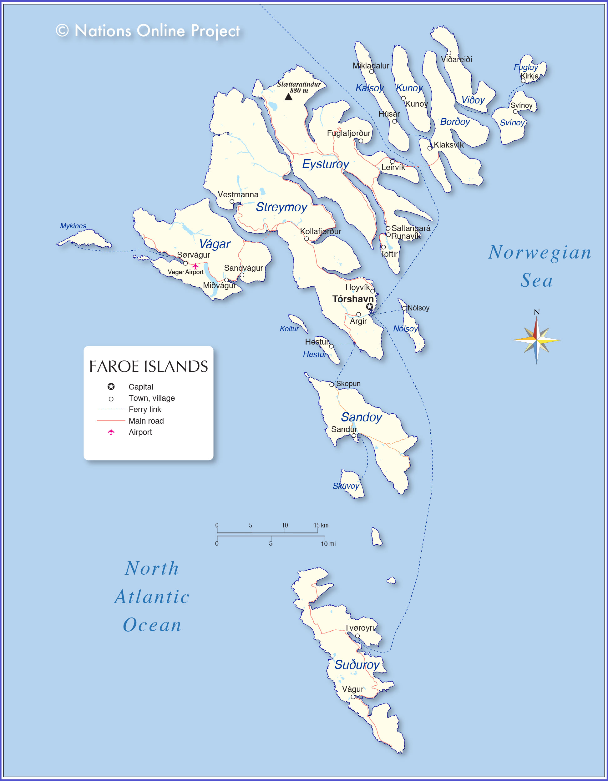
Map of Faroe Islands

Faroe Islands Map
Political Map of Faroe Islands

The map shows Faroe Islands and surrounding countries with international borders, the national capital Tórshavn, governorate capitals, major cities, main roads, railroads, and major airports.

You are free to use above map for educational purposes, please refer to the Nations Online Project.

 
The map shows the location of following Faroese towns:

Argir, Fuglafjørður, Hestur, Hoyvík, Húsar, Kirkja, Klaksvík, Kollafjørður, Kunoy, Leirvík, Mikladalur, Miðvágur, Nólsoy, Runavík, Saltangará, Sandur, Sandvágur, Skopun, Svínoy, Sørvágur, Toftir, Tvøroyri, Tórshavn, Vestmanna, Viðareiði, Vágur


Bookmark/share this page
  Instagram button

More about Faroe Islands


Faroe Islands Profile


Continent:
Political Map of Europe


Weather Conditions Tórshavn:

TÓRSHAVN WEATHER


Advertisements:


Maps of other Countries in Northern Europe
Denmark Map, European Russia Map, Estonia Map, Finland Map, Greenland Map, Iceland Map, Ireland Map, Latvia Map, Lithuania Map, Norway Map, Sweden Map, United Kingdom Map

Interactive Maps of other countries and regions in Northern Europe:
Denmark Interactive Map, Faroe Islands Interactive Map, Iceland Interactive Map, Ireland Interactive Map, Latvia Interactive Map, Lithuania Interactive Map,
Norway Interactive Map, Scotland Interactive Map, Sweden Interactive Map, United Kingdom Interactive Map, Wales Interactive Map

Major Cities in Northern Europe
Belfast | Cardiff | Copenhagen | Dublin | Edinburgh | Glasgow | Helsinki | London | Moscow | Nuuk | Oslo
Reykjavik | Riga | Saint Petersburg | Stockholm | Tallinn | Vilnius
 
up