Nations Online
All Countries in the World
|
One Planet Nations Online All Countries in the World | |
Home  |
___ Satellite View and Map of the City of Birmingham, United Kingdom |
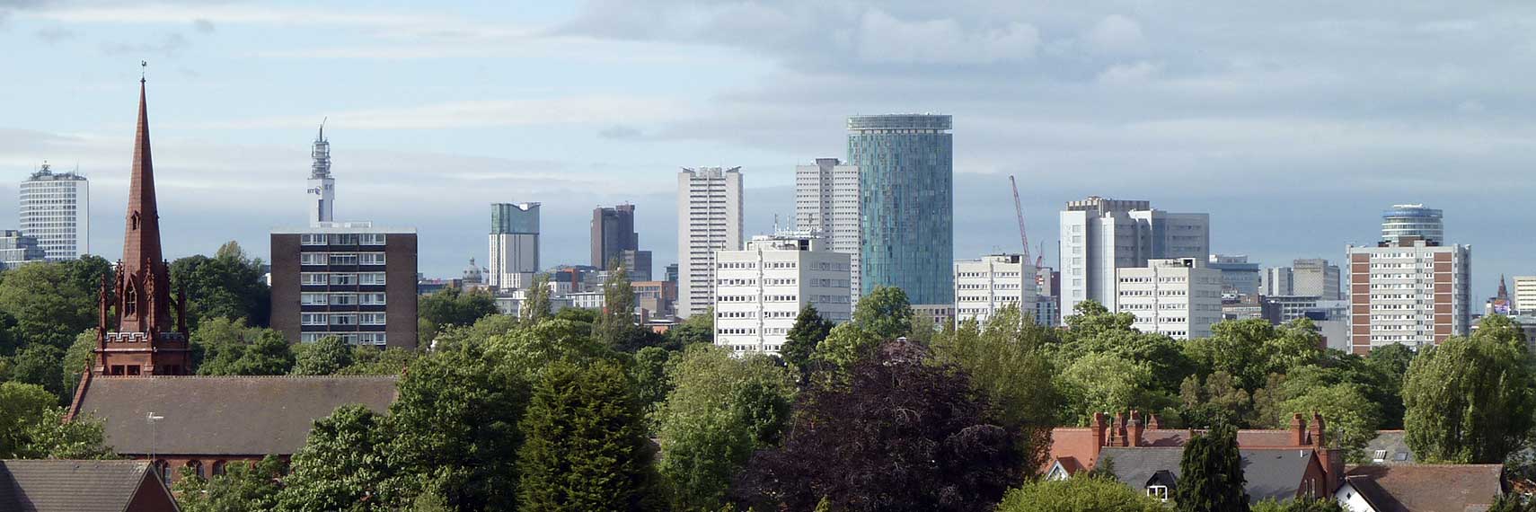
 Birmingham Skyline from Edgbaston Cricket Ground. Image: JimmyGuano |
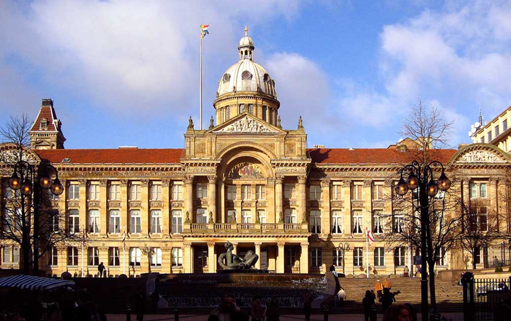
About Birmingham Satellite view is showing Birmingham in West Midlands, England, it is the second-most populous city in the United Kingdom. Satellite view is showing Birmingham in West Midlands, England, it is the second-most populous city in the United Kingdom.Birmingham has developed from one of the former British industrial cities into a national commercial center. The city competes against Manchester for the title of the second-best place in the United Kingdom (after London).  Birmingham Council House, Victoria Square, home of Birmingham City Council. Construction of the Classical architecture style building started in June 1874, completed in October 1879. In the UK's EU referendum on 23rd June 2016, Birmingham voted 50.42% to leave. West Midlands voted to leave in the referendum by a majority of 59% to 41% (rounded). Some points of interest in Birmingham: Birmingham Museum and Art Gallery (fine art); The Electric, the oldest working cinema in the UK. Royal Birmingham Society of Artists, art society with a gallery. New Alexandra Theatre (Alex), venue for West End productions, concerts, vaudeville, and comedies. Bull Ring (major commercial area since the Middle Ages); Thinktank, Birmingham Science Museum (fun with science); Gas Street Basin (canal basin); Millennium Point (Eastside meeting complex); Winterbourne Botanic Garden (university grade botanic garden); Lapworth Museum of Geology (fun with rocks); Wonderful World of Trains and Planes (more fun in a model world); Castle Bromwich Assembly Tour (How to Build a Jaguar?). The Map shows a city map of Birmingham with expressways, main roads and streets, zoom out to find the location of Birmingham International Airport (IATA Code: BHX) east of the city. To find a location use the form below. To view just the map, click on the "Map" button. |
|
| To find a location type: street or place, city, optional: state, country. |
Local Time Birmingham:
Friday-April-26 11:26
Standard time zone: No UTC/GMT offsetDaylight saving time (BST) in use from end of March until end of October, time zone offset: UTC/GMT +1 hours |
One World - Nations Online .:. let's care for this planet Promote that every nation assumes responsibility for our world. Nations Online Project is made to improve cross-cultural understanding and global awareness. More signal - less NOISE |
| Site Map
| Information Sources | Disclaimer | Copyright © 1998-2023 :: nationsonline.org |