About Norway
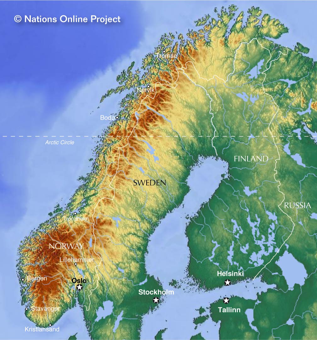 Topographic Map of Norway and most of the Scandinavian Peninsula.
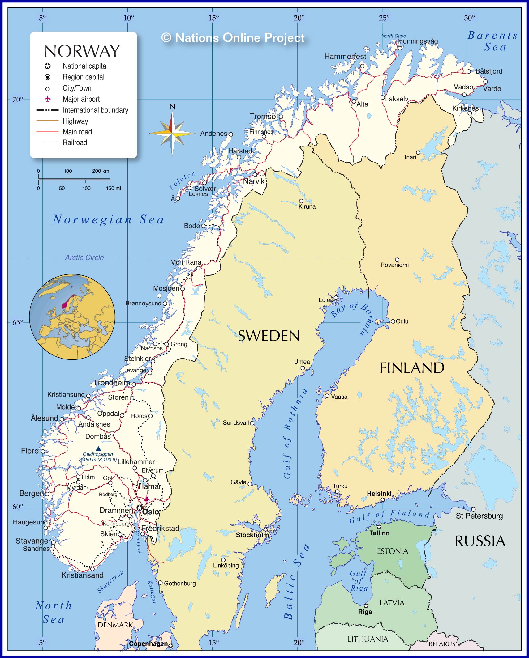
The map shows Norway, officially the Kingdom of Norway (Kongeriket Norge). The Nordic country is an elongated stretch of land on the western and the northern part of the
Scandinavian Peninsula, west of
Sweden. It borders the North Sea in the southwest, the Skagerrak strait in the south, the Norwegian Sea in the west, the Barents Sea (Atlantic Ocean) in the north; it has borders with
Finland and
Russia in the northeast, and it shares maritime borders with
Denmark,
Iceland, the
United Kingdom,
Greenland, and the
Faroe Islands.
From the southwest to the northeast the country extends 1,752 km (1,089 mi) and covers an
area of 323,802 km² (mainland only), making it somewhat smaller than
Germany, or slightly larger than the US state of
New Mexico.
Norway is among the most sparsely populated countries in Europe with a
population of just 5,29 million people (in 2018). The southern portion of the country is the most populated part of Norway.
The northern half of the country lies within the Arctic Circle, this part is known as
Northern Norway, one of the five geographic regions of mainland Norway, the others are, in southwest
Western Norway, in south
Southern Norway, in southeast
Eastern Norway, and in central, you guessed already
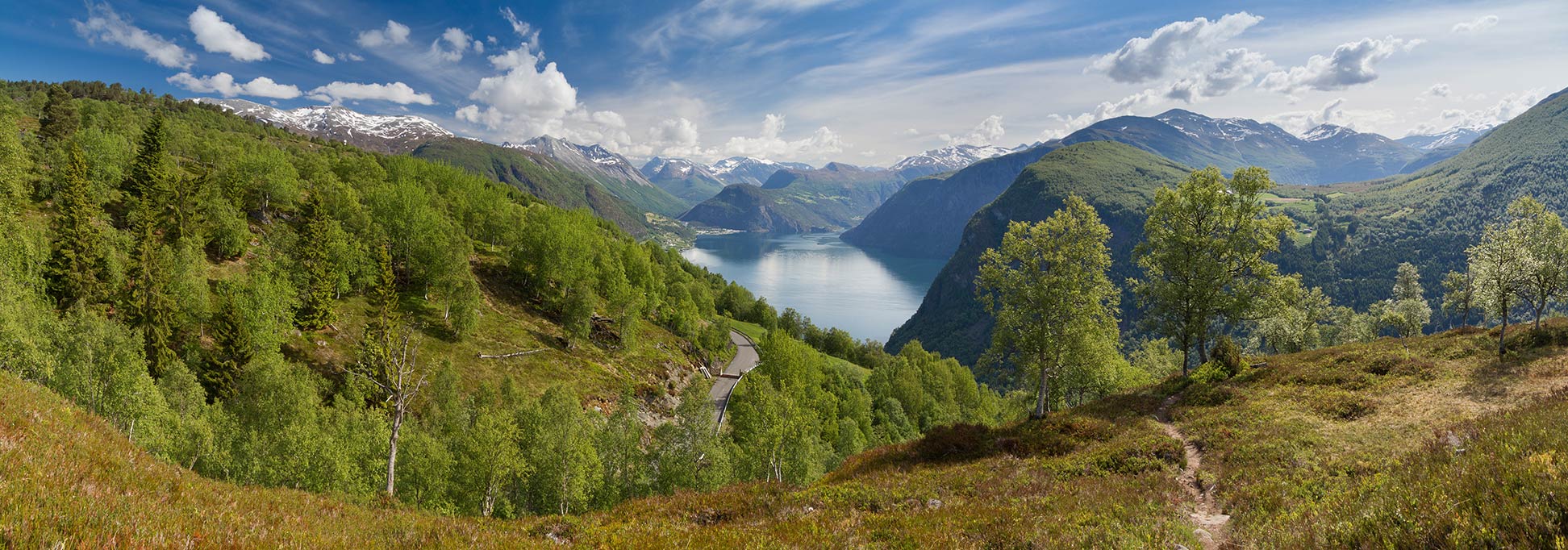
Central Norway. The country is world famous for its rugged coastlines, sculpted by long, narrow, deep inlets between high cliffs known as fjords, and thousands of islands and islets embellish the country's coast.
Norway's mostly mountainous landscape was shaped by the Caledonian orogeny, a mountain building era, about 490–390 million years ago. The mountain range that runs through the Scandinavian Peninsula is known as the
Scandinavian Mountains. The bedrock which Norway occupies is part of the Baltic Shield; it contains the oldest rock formations of the European continent.
Galdhøpiggen in southern Norway is the highest peak in mainland Northern Europe, at 2,469 meters (8,100 ft).
More about Norway
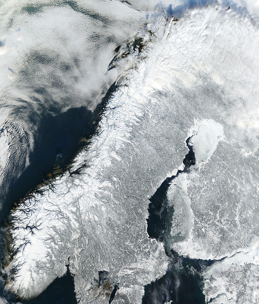 Satellite image of continental Norway and most of the Scandinavian Peninsula in winter.
Image: NASA
Major cities/towns (ranked by population) are
Oslo is the national capital, the largest city, and chief port of Norway. Oslo was founded in the 11th century; the town was known as Christiania (or Kristiania) from 1624 until 1924.
Bergen is a seaport in southwest Norway and a center of the fishing industry. The town was one of the former capitals of the country and a Hanseatic League city.
Trondheim is a major regional center on the coast of the west-central part of the country. The city was the first capital of Norway; it was known in medieval times by the name Nidaros.
Stavanger is known as the "Oil Capital of Norway"; it is the administrative center of Rogaland county, combined with the city of Sandnes it is ranked 3rd in Norway by population/conurbation.
Kristiansand is a port and largest city in southern Norway (pop. 88,600),
Fredrikstad is a port on the Skagerrak in Østfold county straddling the Glomma river. The city has a population of 80,200.
Tromsø is a university town on the island of Tromsøya; it is the largest urban area in Northern Norway with a population of 73,500.
Drammen is a port and an important railway hub located at Drammensfjord in Buskerud county (pop. 62,600). The city is the main port for car imports in the country, and the center of one of the fastest growing city regions in Norway.
Skien is a port town in Telemark county (pop. 54,000) and one of Norway's oldest cities; it was the birthplace of the 19th-century Norwegian dramatist Henrik Ibsen.
Geography of Norway
During the Pleistocene (the last ice age) Northern Europe was covered by the Scandinavian Ice Sheet, the movement of the continental-sized ice sheet carved out deep valleys, scoured and abraded the region's surface, eroded mountains and rendered the rest of the landscape flat. Scandinavia is still 'rebounding' from the enormous weight of the ice, growing out of the sea several millimeters a year.
The melting ice has left behind a considerable amount of water. Norway has at least 450,000 freshwater lakes, the remnants of melting ice and glacial erosion created almost all of them.
Norway's lakes come in all shapes and sizes, beside fjords (saltwater inlets and long, narrow freshwater lakes), there are Sjøs and Mjøs (large lakes), Vatn and Tjerns (smaller lakes and tarns). Norway's largest lakes are the 117 km long lake
Mjøsa, the
Røssvatnet, a lake and reservoir; the 60 km long and 9 km wide
Femund is Norway's second largest natural lake.
Norway's main rivers are the
Glomma, the longest and largest river in the country (600 km (373 mi)), the
Pasvikelva (an outlet of Lake Inari, Finland),
Numedalslågen, a 250 km long river in southern Norway, and the
Gudbrandsdalslågen, an outlet of lake Lesjaskogsvatnet.
Norway has rarely cultivated land (3.3%), more than one-third of Norway is forested (38%), mainly deciduous forests in the south, and boreal coniferous forests in Central Norway; the country's northern territory is covered with extensive coniferous taiga forests.


