Nations Online
All Countries in the World
Nations Online All Countries in the World | |
Home  |
___ Satellite View and Map of Wales (Welsh: Cymru) |
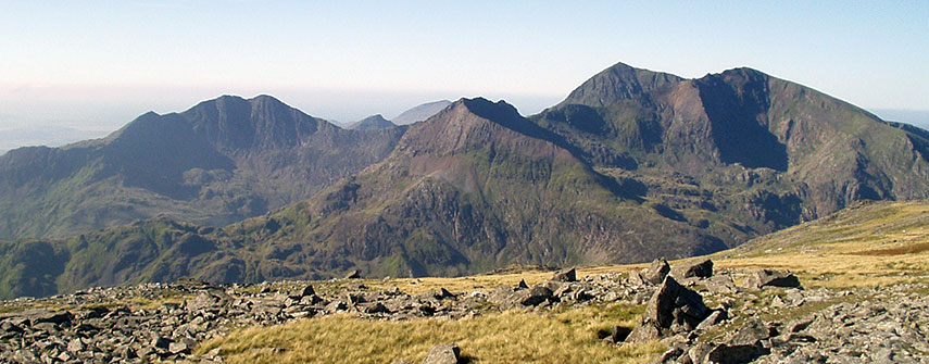 Snowdon massif, the highest peak in Wales, as seen from Glyder Fawr. Snowdon massif, the highest peak in Wales, as seen from Glyder Fawr.Image: Chris Dixon |
About Wales Map is showing Map is showing 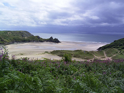 Three Cliffs Bay, on the south coast of the Gower Peninsula near the city of Swansea. Image: Rainer Boettchers Wales landscape offers 2,700 km of rugged coastline, its interior ranges between hilly and mountainous, highest peak is Snowdon with 1,085 m (3,560 ft). The mountain is located in Snowdonia National Park in Gwynedd, it is the highest point in the British Isles outside the Scottish Highlands. Wales has a population of about 3.1 million people (in 2014). About 1 in 20 of the UK population live in Wales, capital and largest city is Cardiff. Two-thirds of the population live in south Wales, mainly in and around Cardiff (pop.: 352,700), Swansea (240,300) and Newport (146,558), and in the nearby valleys. The country has preserved over centuries its distinct cultural identity of its Celtic ancestry and is officially bilingual, national languages are Welsh (traditional) and English (most widely used). The page shows a map/satellite view of Wales with its border with England, with citis and towns, expressways, main roads and streets. To find a location use the form below. |
||
| To find a location type: street or place, city, optional: state, country. |
||
One World - Nations Online .:. let's care for this planet Promote that every nation assumes responsibility for our world. Nations Online Project is made to improve cross-cultural understanding and global awareness. More signal - less NOISE |
| Site Map
| Information Sources | Disclaimer | Copyright © 1998-2024:: nationsonline.org |

