Nations Online
All Countries in the World
|
One Planet Nations Online All Countries in the World | |
Home  |
___ Satellite View and Map of the City of Helsinki (Helsingfors), Finland |
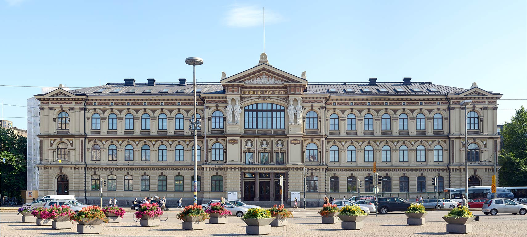
 The Ateneum at Rautatientori square in Helsinki is an art museum and part of the Finnish National Gallery, has the largest collections of classical art in Finland. Image: Alvesgaspar |
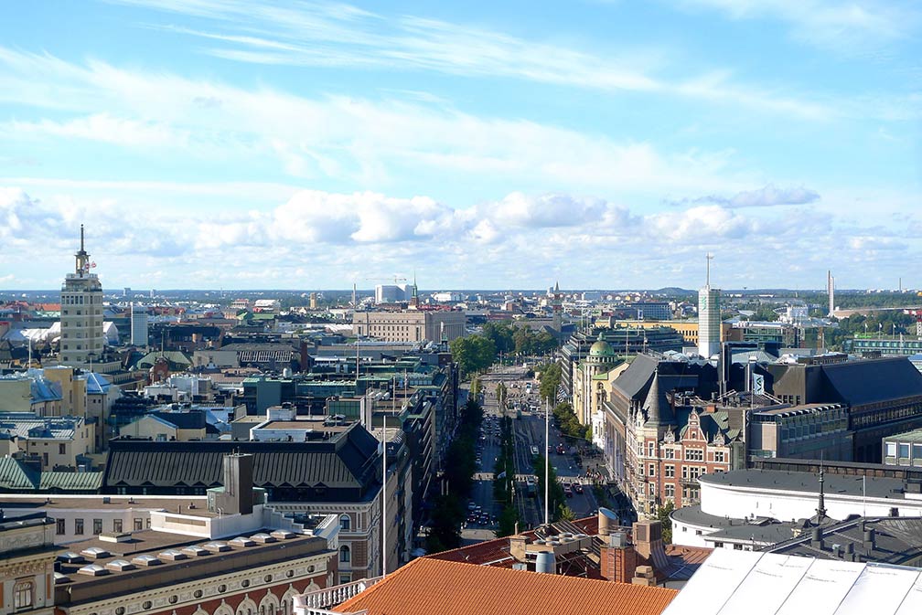
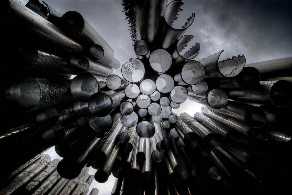
Searchable Map and Satellite View of Helsinki using Google Earth Data Satellite view is showing Helsinki, seaport, largest city and the national capital of Satellite view is showing Helsinki, seaport, largest city and the national capital of  Central Helsinki and the southern end of Mannerheimintie, the most famous street in Helsinki, seen from Erottaja Fire Station. Image: Otso Kivekäs Helsinki was founded in 1550 by King Gustav I of Sweden as a trading port, intended to rival the Hanseatic port of Reval, a city about 90 km to the south across the Gulf of Finland (today known as Tallinn, Estonia). Helsinki is the nations primate urban area, which means it is the most populous and most influential city in the country in terms of culture, education, and political power. Finland's capital has a population of 642,000 inhabitants (in 2017), 1.47 million people live in its metropolitan area, this is more than one-fifth of Finland's entire population. Spoken languages, are Finnish and Swedish (6%), both official. The city is home to the University of Helsinki, the oldest and largest university in the country, and Finland's National Theatre (Suomen Kansallisteatteri), the nation's oldest theater. Some more points of interest:  The Sibelius Monument at Sibelius Park, dedicated to the Finnish composer Jean Sibelius, until now the country's greatest composer. Image: Dorli Photography Transport The Central railway station is a Helsinki landmark and the main terminus of the Finnish rail network. The city is served by the Helsinki-Vantaa Airport. Helsinki is one of the busiest passenger ports in Europe with about 11 million passengers annually. There are ferry connections to Tallinn, Mariehamn (Åland), and Stockholm. The map shows a city map of Helsinki with expressways, main roads and streets, zoom out to find the location of Helsinki-Vantaa Airport (IATA code: HEL) near the municipality of Vantaa, about 20 km (12 mi) by road (via Tusbyleden/Tuusulanväylä/Route 45) north of Helsinki's city center. To find a location use the form below. |
|
| To find a location type: street or place, city, optional: state, country. | Local Time Finland:
Friday-April-26 10:42
Standard Time Zone (EET): UTC/GMT +2 hourEEST (Daylight Saving Time) in use from end of March until end of October: time zone offset: UTC/GMT +3 hours |
One World - Nations Online .:. let's care for this planet Promote that every nation assumes responsibility for our world. Nations Online Project is made to improve cross-cultural understanding and global awareness. More signal - less NOISE |
| Site Map
| Information Sources | Disclaimer | Copyright © 1998-2023 :: nationsonline.org |