Nations Online
All Countries in the World
|
One Planet Nations Online All Countries in the World | |
Home  |
___ Satellite View and Map of the City of Manchester, United Kingdom |
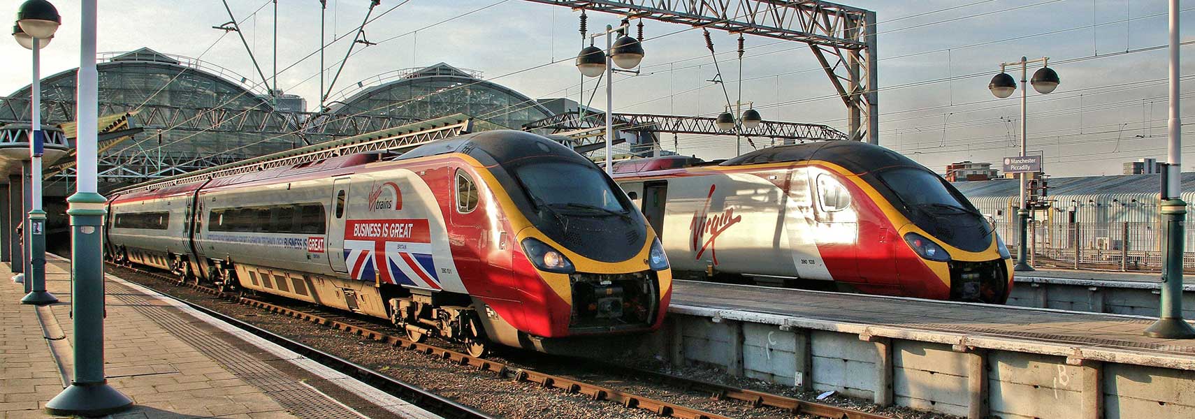
 Virgin Trains leaving Manchester Piccadilly station. Virgin Trains' long-distance passenger services connects six of the UK's largest cities; London, Birmingham, Manchester, Liverpool, Glasgow and Edinburgh. Image: Tadie88 |
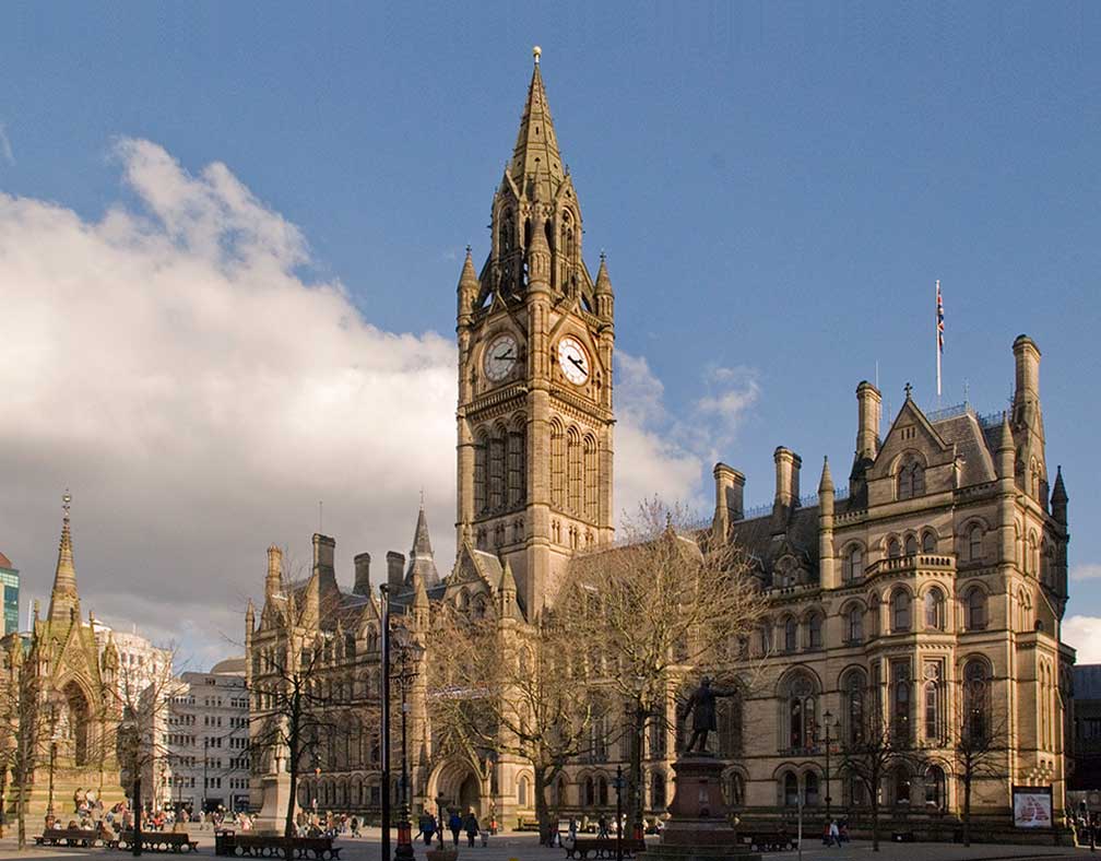
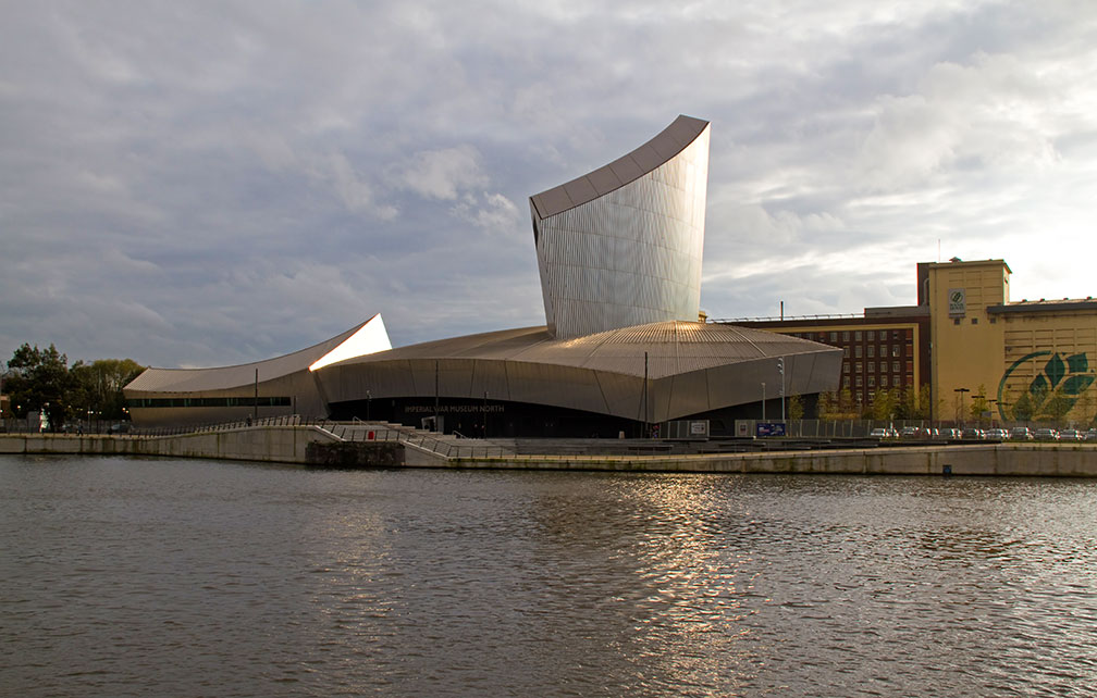
About Manchester Satellite view is showing Manchester, one of the principal cities of the United Kingdom. The city is situated in North West England on the bank of the Irwell river about 50 km (30 mi) inland east from the river Mersey estuary. Manchester is connected to the Irish Sea by the Manchester Ship Canal.  Manchester Town Hall at Albert Square, a Victorian-era, Neo-gothic municipal building in Manchester, it is the ceremonial headquarters of Manchester City Council. Image: mark andrew In times of the First Industrial Revolution, Manchester began expanding and became one of the world's first industrialized city. The rivers Mersey and Irwell were made navigable in the early 18th century. The Liverpool and Manchester Railway was opened in September 1830. Construction of the Manchester Ship Canal, giving ocean-going vessels direct access to Manchester, began in 1887 and opened in January 1894, making the newly created inland Port of Manchester Britain's third busiest port. Today Manchester is a center of the arts, the media, higher education and commerce. In a poll of British business leaders published in 2006, Manchester was regarded as the best place in the UK to locate a business. Manchester has a population of about 500,000 inhabitants, 2.5 million people live in the Greater Manchester Urban Area. In the UK's EU referendum on 23rd June 2016, Manchester voted 60% to reamin in the EU. North West England has voted to leave in the referendum by a majority of 54% to 46%. Manchester points of interest:  Manchester Imperial War Museum North at Salford Quays in the Metropolitan Borough of Trafford, one of five branches of the Imperial War Museum at five locations in England. Image: Tony Hisgett Museums: Museum of Science and Industry (see the development of science, technology and industry in the city), Manchester Museum (owned by the University of Manchester, showcasing works of archeology, anthropology and natural history and explores the relationship between people and nature), Manchester Art Gallery (important admission free art museum in three different buildings), Imperial War Museum North (shows the impact of modern conflicts on people and society); National Football Museum (collections of football memorabilia). Churches: Manchester Cathedral (the mother church of the Anglican Diocese of Manchester, built between 1421 and 1882), Church of the Holy Name of Jesus (Roman Catholic church built between 1869 and 1871, the tower was added in 1928), St Ann's Church (Church of England, consecrated in 1712) Sports: The city is home to Manchester United, the most successful club in English football (soccer), and to Manchester City FC the city's other premier league club. Old Trafford (home stadium of Manchester United), Etihad Stadium (playground of Manchester City Football Club), Manchester Arena (large multi-purpose indoor venue) Incidents On Monday 22 May 2017, an explosion occured outside Manchester Arena, following a pop concert by the US singer Ariana Grande. At least 22 people were killed and 59 injured. Just zoom in (+) to see Manchester Cathedral the Medieval church in central Manchester, it is the seat of the Bishop of Manchester. The Map shows a city map of Manchester with expressways, main roads and streets. Zoom out to find the location of Manchester Airport (IATA Code: MAN) and the new Airport City Manchester (currently under construction), situated about 14 km (8.7 mi) by road (via A5103 Princess Road/Parkway) south of the city center. To find a location use the form below. To view just the map, click on the "Map" button. |
|
| To find a location type: street or place, city, optional: state, country. |
Local Time Manchester:
Monday-April-15 14:52
Standard time zone: No UTC/GMT offsetDaylight saving time (BST) in use from end of March until end of October, time zone offset: UTC/GMT +1 hours |
One World - Nations Online .:. let's care for this planet Promote that every nation assumes responsibility for our world. Nations Online Project is made to improve cross-cultural understanding and global awareness. More signal - less NOISE |
| Site Map
| Information Sources | Disclaimer | Copyright © 1998-2023 :: nationsonline.org |