Advertising

India Flag detail
Home Earth Continents Asia India Country Profile States and Union Territories of India Google Earth Sikkim Map

___ Satellite View and Map of Sikkim (सिक्किम), India


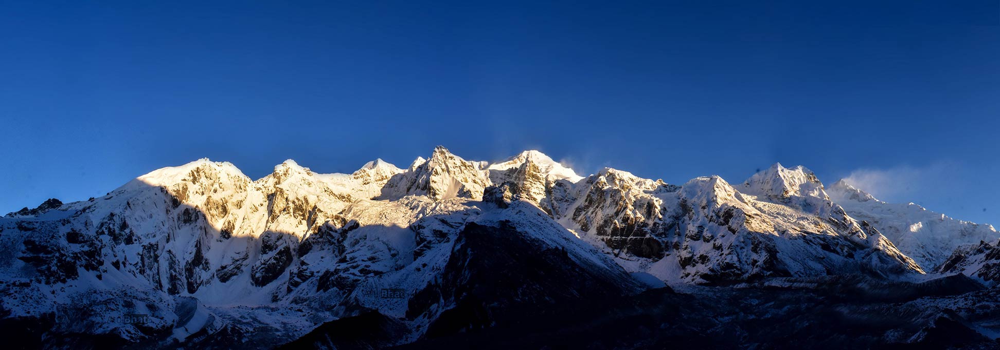
Himalayan peaks, seen from Goecha La, Sikkim
Panoramic view of several Himalayan peaks, seen from Dzongri/Goecha La, a mountain pass in Sikkim. Mt. Kanchenjunga is on the extreme right with snow blowing off of its summit. Kangchenjunga is the third highest peak on earth at 8,586 m.
Image: Atulbhats

About Sikkim


Seal of Sikkim
The satellite view and the map shows Sikkim, a landlocked state of India, located in the northeast of the country on the southern slopes of the eastern Himalaya mountain range.

Sikkim borders Nepal in the west, Tibet (China) to the north and east, Bhutan in the southeast and the Indian state of West Bengal to the south.


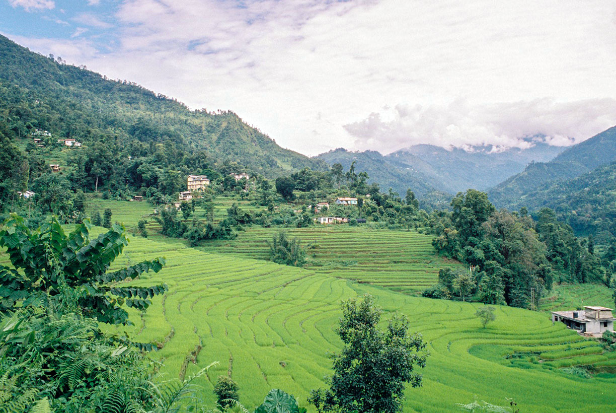
Terraced rice paddy fields of Sikkim
Terraced rice paddy fields of Sikkim.
Image: Anja Disseldorp
The former Buddhist kingdom became a princely state of British India in 1890. After British rule in 1975, the Indian military deposed the Sikkimese monarchy and annexed the territory. A referendum on abolishing the monarchy was delivered some days later. Sikkim was made a state of India on 26 April 1975.

India's second-smallest state, after Goa, covers an area of 7,096 km² (2,740 sq mi), compared it is about half the size of Montenegro or slightly larger than the US state of Delaware.

Sikkim has a population of 650,000 people (2018 est.). It is the least populous state in the country. The largest city and capital is Gangtok.
Spoken languages are Lepcha, Bhutia, Limbu and Nepali.

The economy of Sikkim is primarily dependent on agriculture and tourism, and it is the first state in India to transform its farming to entirely organic.

The map shows Sikkim state with borders, cities and towns, expressways, main roads and streets, there is no airport in Sikkim, although there is a helicopter service between Gangtok and Bagdogra in Darjeeling district in the Indian state of West Bengal.

To find a location use the form below.

Sorry! Google's pricing policy has made it impossible for us to continue showing Google Maps. We apologize for any inconvenience.

Google Map: Searchable map and satellite view of Sikkim state, India.

φ Latitude, λ Longitude (of Map center; move the map to see coordinates):

,


Bookmark/share this page
  Instagram button
More about India

Landmarks:
Taj Mahal
Satellite view of the famous mausoleum.

Cities:
Information and searchable map/satellite views of
Delhi
Chandigarh
Chennai
Hyderabad
Kolkata
Mumbai

Country:
Searchable map/satellite view of India
Map of India
Administrative Map of India
Political Map of Northern India and the Kashmir region
Searchable location map of India's airports
India Country Profile
India in numbers
India Key Statistical Data.

States and Union Territories of India

Continent:
Map of Southeast Asia
Map of Asia


External Links:
Sikkim
Official government website

Sikkim Tourism
Official Sikkim tourism website

Wikipedia: Sikkim
 
Current Weather Conditions Sikkim:

GANGTOK WEATHER

Advertisements:


States of India:
Andhra Pradesh, Arunachal Pradesh, Assam, Bihar, Chhattisgarh, Goa, Gujarat, Haryana, Himachal Pradesh, Jammu & Kashmir, Jharkhand, Karnataka, Kerala, Madhya Pradesh, Maharashtra, Manipur, Meghalaya, Mizoram, Nagaland, Odisha, Punjab, Rajasthan, Sikkim, Tamil Nadu, Telangana, Tripura, Uttarakhand, Uttar Pradesh, West Bengal

Google Maps of India's Union Territories:
Andaman and Nicobar Islands, Chandigarh, Dadra & Nagar Haveli, Daman & Diu, Lakshadweep, Puducherry

Major Cities in South-Central Asia:
Almaty, Ashgabat, Astana, Baku, Bishkek, Colombo, Dhaka, Dushanbe, Islamabad, Kabul, Karachi, Kathmandu, Lahore, Lhasa, Male, Samarkand, Tashkent, Tehran, Thimphu 

Map Help [ show ]
up