About Chhattisgarh
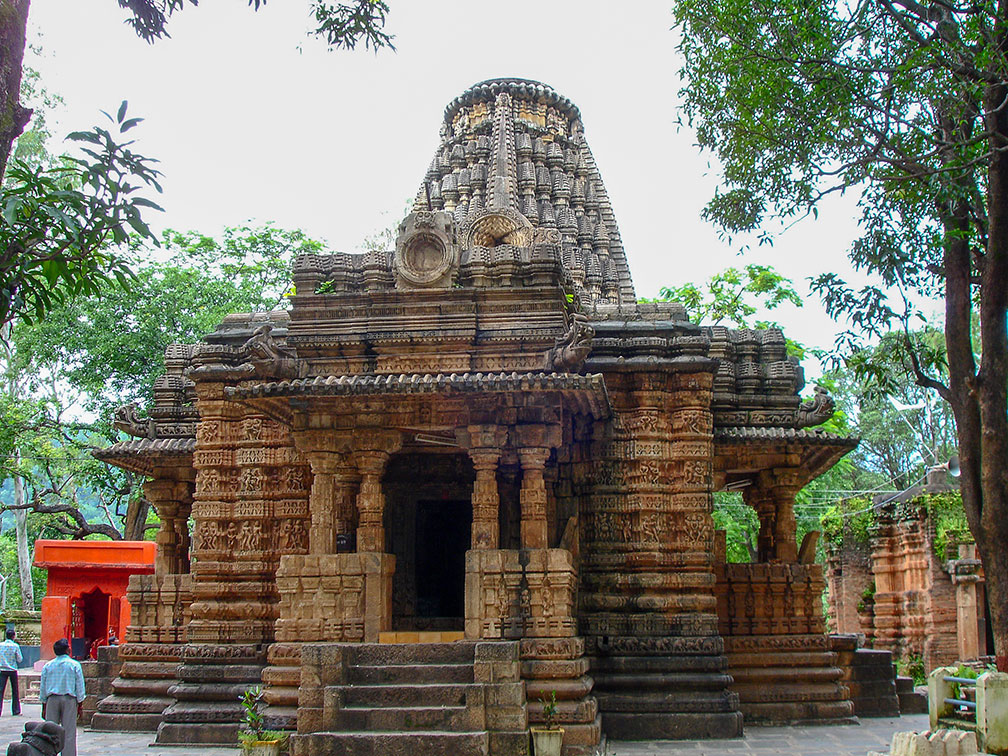
 Bhoramdeo Temple complex in Kawardha. Erotic reliefs on the exterior and interior walls represent the Kama Sutra, the standard work on human sexual behaviour in Sanskrit literature.
Image: Pankaj Oudhia
Satellite view is showing Chhattisgarh, since 1 November 2000 one of India's now 29 states. Landlocked and rural Chhattisgarh is located in central India, bordering the Indian States of
Madhya Pradesh in northwest,
Maharashtra in west,
Telangana in southeast,
Odisha in the east,
Jharkhand in northeast and
Uttar Pradesh in north (see
Administrative Map of India).
An
area of 135,191 km² (52,198 sq mi) making Chhattisgarh the tenth-largest state in India, compared it is slightly larger than
England, or about the size of the US state of
North Carolina.
Chhattisgarh has a population of 28 million people (est. 2017). Capital city is Raipur.
Official
languages are Hindi, and Chhattisgarhi, a Hindi dialect.
Chhattisgarh points of interest
Sirpur Group of Monuments (including the remains of 7th century Lakshmana temple) in Sirpur on the Mahanadi River near Raipur, a pilgrimage site for the followers of Jainism, Buddhism and Hinduism. The
Barnawapara wildlife sanctuary is nearby.
Bhoramdeo Temple complex, a group of four Hindu temples in Bhoramdeo, dedicated to Shiva, one of the principal deities of Hinduism.
Chitrakote Falls on the Indravati River, the widest fall in India lies west of Jagdalpur.
Also near Jagdalpur are the
Teerathgarh Falls (91 m), and the
Kotumsar Cave and
Kailash Gufa Cave in the jungles of
Kanger Ghati National Park.
Indravati National Park in Bijapur district in southern Chhattisgarh is the most famous wildlife park in the state and a famous tiger reserve of India.
13th century
Mahamaya Temple is dedicated to the dual Goddess Lakshmi & Saraswati. The temple is located in Ratanpur, a small city and a religious center full of temples and ponds.
The map shows a map of Chhattisgarh with borders, cities and towns, expressways, main roads and streets, and the location of
Raipur Airport (
IATA code: RPR).
To find a location use the form below.


