Nations Online
All Countries in the World
Nations Online All Countries in the World | |
Home  |
___ Satellite View and Map of the City of Bishkek (Бишкек), Kyrgyzstan |
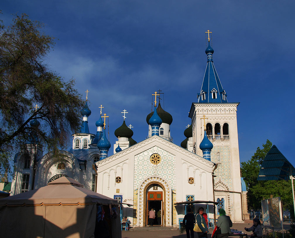
Searchable Map and Satellite View of Bishkek using Google Earth Data Satellite view is showing Bishkek, largest city and the national capital of Satellite view is showing Bishkek, largest city and the national capital of The country was part of Russia from 1919 until the collapse of the Soviet Union on December 25, 1991. Bishkek (from 1926 to 1991, the city was known as Frunze) became the capital of the Kara-Kirghiz Autonomous Oblast in 1925, and in 1936, the city (still known as Frunze) became the capital of the Kirghiz Soviet Socialist Republic. Today Bishkek has a population of about 9 million inhabitants. Spoken languages are Kyrgyz and Russian. The map shows a city map of Bishkek with expressways, main roads and streets, zoom out to find the location of Bishkek’s Manas International Airport (IATA code: FRU) about 25 km (16 mi) north-northwest of the city. To find a location use the form below. |
|
| To find a location type: street or place, city, optional: state, country. |
Local Time Kyrgyzstan:
Tuesday-June-23 00:36
Time zone: Kyrgyzstan Time (KGT) :: UTC/GMT +6 hours |
|
φ Latitude, λ Longitude (of Map center; move the map to see coordinates): , |
||||||
| Google Earth: Searchable Map and Satellite view of Bishkek, Kyrgyzstan. |
Bookmark/share this page |
|||||
| City Coordinates: 42°52′29″N 74°36′44″E | ||||||
| More about Kyrgyzstan: Kyrgyzstan key statistical data. External Link Wikipedia: Bishkek |
Weather Conditions Bishkek
|
Related Consumer Information:
|
||||
Other Cities in South-Central Asia: Almaty, Ashgabat, Astana, Baku, Colombo, Dhaka, Dushanbe, Islamabad, Kabul, Kathmandu, Male, New Delhi, Tashkent, Tehran, Thimphu |
||||||
Map Help [ show ] |
||||||
One World - Nations Online .:. let's care for this planet Promote that every nation assumes responsibility for our world. Nations Online Project is made to improve cross-cultural understanding and global awareness. More signal - less NOISE |
| Site Map
| Information Sources | Disclaimer | Copyright © 1998-2024:: nationsonline.org |