Advertising

India Flag detail
Home Earth Continents Asia India Country Profile States and Union Territories of India Google Earth Rajasthan Map

___ Satellite View and Map of Rajasthan (राजस्थान), India


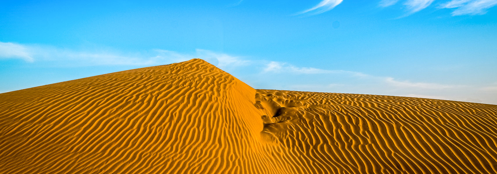
Thar Desert, Desert National Park, Sudasari near Jaisalmer, Rajasthan, India
Thar Desert, Desert National Park, Sudasari near Jaisalmer in Rajasthan.
Image: Kanthi Kiran

About Rajasthan


Rajasthan Tourism Logo
The landlocked state is located in the north western part of the Republic of India. Rajasthan borders the Pakistani provinces of Punjab and Sindh in northwest, and the Indian states of Gujarat in southwest, Madhya Pradesh in southeast, Uttar Pradesh, Haryana and Punjab in northeast.
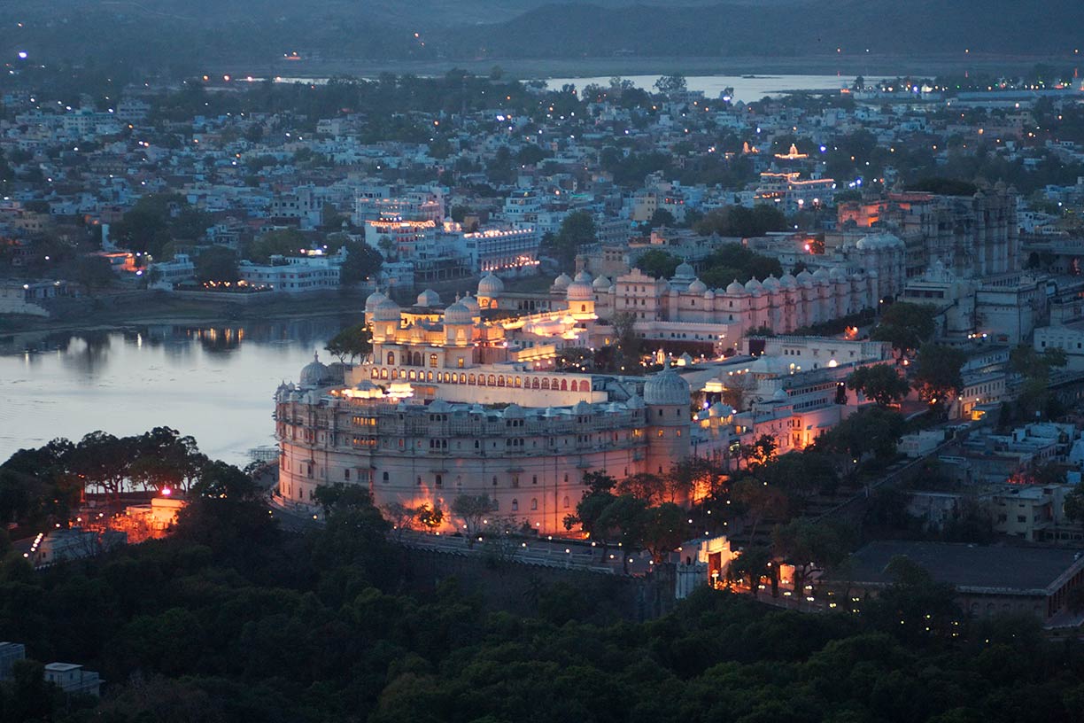


City Palace complex in Udaipur, Rajasthan, India
The City Palace in Udaipur, the "City of Lakes" in Rajasthan. The amazing complex of palaces was built over a period of nearly 400 years.
Image: Geri

Rajasthan is India's largest state. It covers an area of 342,269 km² (132,151 sq mi), compared, it is somewhat smaller than Germany, or somewhat larger than the US state of New Mexico.

The western part of the state consists largely of the Thar Desert (the Great Indian Desert). The vast and rather inhospitable area is sparsely populated.

Rajasthan has a population of more than 70 million people (est. 2018).
Capital and largest city is Jaipur.

Other major cities are Jodhpur (the former capital of Jodhpur state), Kota (a city on the banks of the Chambal River), Bikaner, Ajmer, and Udaipur (the "City of Lakes").
Official language is Hindi. Main religions are Hinduism (88%) and Islam (9%).

Rajasthan attracts a very large number of tourists (fourth highest in all of India's states) because of its natural beauty and its great history.

The palaces of Jaipur, the lakes of Udaipur, and the desert forts of Jodhpur, Bikaner and Jaisalmer rank among the most preferred destinations in Rajasthan for many Indian and foreign tourists. The Hill Forts of Rajasthan are a UNESCO World Heritage Site.

The map shows a map of Jaipur with borders, cities and towns, expressways, main roads and streets, and the location of Jaipur Airport (IATA code: JAI).

To find a location use the form below.


Sorry! Google's pricing policy has made it impossible for us to continue showing Google Maps. We apologize for any inconvenience.

Google Map: Searchable map and satellite view of Rajasthan state, India.

φ Latitude, λ Longitude (of Map center; move the map to see coordinates):

,


Bookmark/share this page
  Instagram button
More about India

Landmarks:
Taj Mahal
Satellite view of the famous mausoleum.

Cities:
Information and searchable map/satellite views of
Delhi
Chandigarh
Chennai
Hyderabad
Kolkata
Mumbai

Country:
Searchable map/satellite view of India
Map of India
Administrative Map of India
Political Map of Northern India and the Kashmir region
Searchable location map of India's airports
India Country Profile
India in numbers
India Key Statistical Data.

States and Union Territories of India

Continent:
Map of Southeast Asia
Map of Asia


External Links:
Rajasthan
Official government website

Rajasthan Tourism
Official tourism website

Wikipedia: Rajasthan
Wikipedia entry Rajasthan.
 
Weather Conditions Rajasthan:

JAIPUR WEATHER

Advertisements:


States of India:
Andhra Pradesh, Arunachal Pradesh, Assam, Bihar, Chhattisgarh, Goa, Gujarat, Haryana, Himachal Pradesh, Jammu & Kashmir, Jharkhand, Karnataka, Kerala, Madhya Pradesh, Maharashtra, Manipur, Meghalaya, Mizoram, Nagaland, Odisha, Punjab, Rajasthan, Sikkim, Tamil Nadu, Telangana, Tripura, Uttarakhand, Uttar Pradesh, West Bengal

Google Maps of India's Union Territories:
Andaman and Nicobar Islands, Chandigarh, Dadra & Nagar Haveli, Daman & Diu, Lakshadweep, Puducherry

Major Cities in South-Central Asia:
Almaty, Ashgabat, Astana, Baku, Bishkek, Colombo, Dhaka, Dushanbe, Islamabad, Kabul, Karachi, Kathmandu, Lahore, Lhasa, Male, Samarkand, Tashkent, Tehran, Thimphu 

Map Help [ show ]
up