Nations Online
All Countries in the World
Nations Online All Countries in the World | |
Home  |
___ Satellite View and Map of the City of Tunis (تونس), Tunisia |
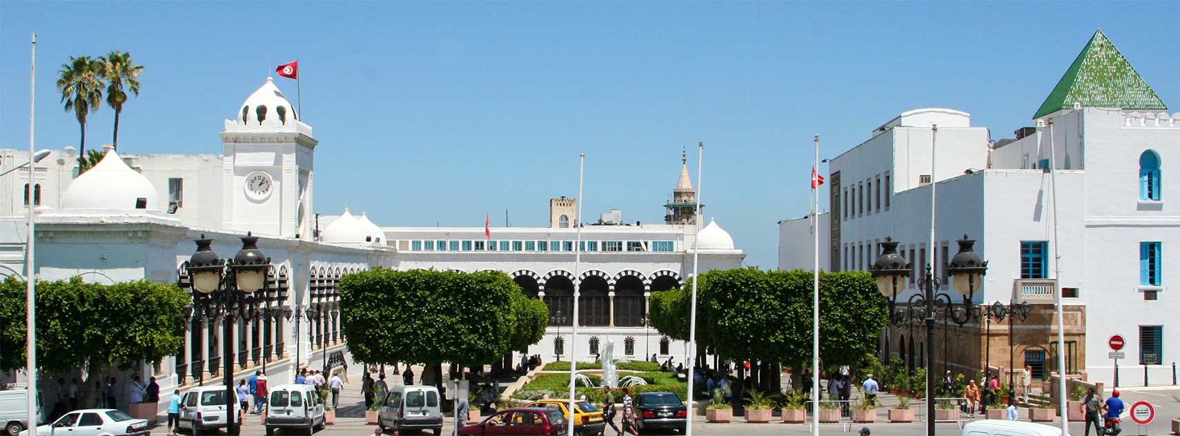 Kasbah Square with the finance ministry and the prime ministry of Tunisia. Image: Kassus |
About Tunis Satellite view is showing Tunis, capital and the largest city of Satellite view is showing Tunis, capital and the largest city of 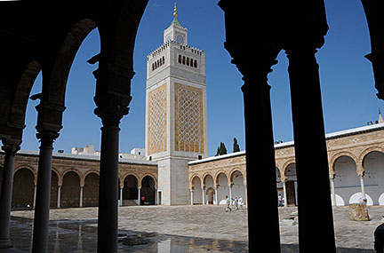 Minaret of the Great Mosque of Al-Zaytuna in the Medina of Tunis. Minaret of the Great Mosque of Al-Zaytuna in the Medina of Tunis.Image: Citizen59 The site is possibly of pre-Carthaginian origin. The ruins of Carthage itself lie to the north east and have been excavated. Under the rule of the Hafsid dynasty from the 13th to 16th centuries AD, Tunis became the capital of Tunisia and a major city in the Muslim world. The city was captured by the Turks under Barbarossa in 1534 and later came under Spanish rule twice in the 16th century. The Turkish governors of Tunis were virtually autonomous after 1591, and Tunis flourished as a trading center and a pirate base! Occupied by the French in 1881, it was the headquarters for the last stand of the Axis forces in North Africa during World War II and fell on May 7, 1943. Today Tunis has a population of about 730,000 inhabitants. Official language is Arabic. Related countries: France, Spain, Turkey The map shows a city map of Tunis with expressways, main roads and streets, and the location of Tunis-Carthage International Airport (IATA code: TUN). To find a location use the form below. |
|
| To find a location type: street or place, city, optional: state, country. |
Local Time Tunsia:
Tuesday-July-7 16:57
Time zone: Central European Time (CET) :: UTC/GMT +1 hours |
One World - Nations Online .:. let's care for this planet Promote that every nation assumes responsibility for our world. Nations Online Project is made to improve cross-cultural understanding and global awareness. More signal - less NOISE |
| Site Map
| Information Sources | Disclaimer | Copyright © 1998-2024:: nationsonline.org |

