Nations Online
All Countries in the World
Nations Online All Countries in the World | |
Home  |
___ Famous Landmarks - Satellite View of Acropolis of Athens, Greece |
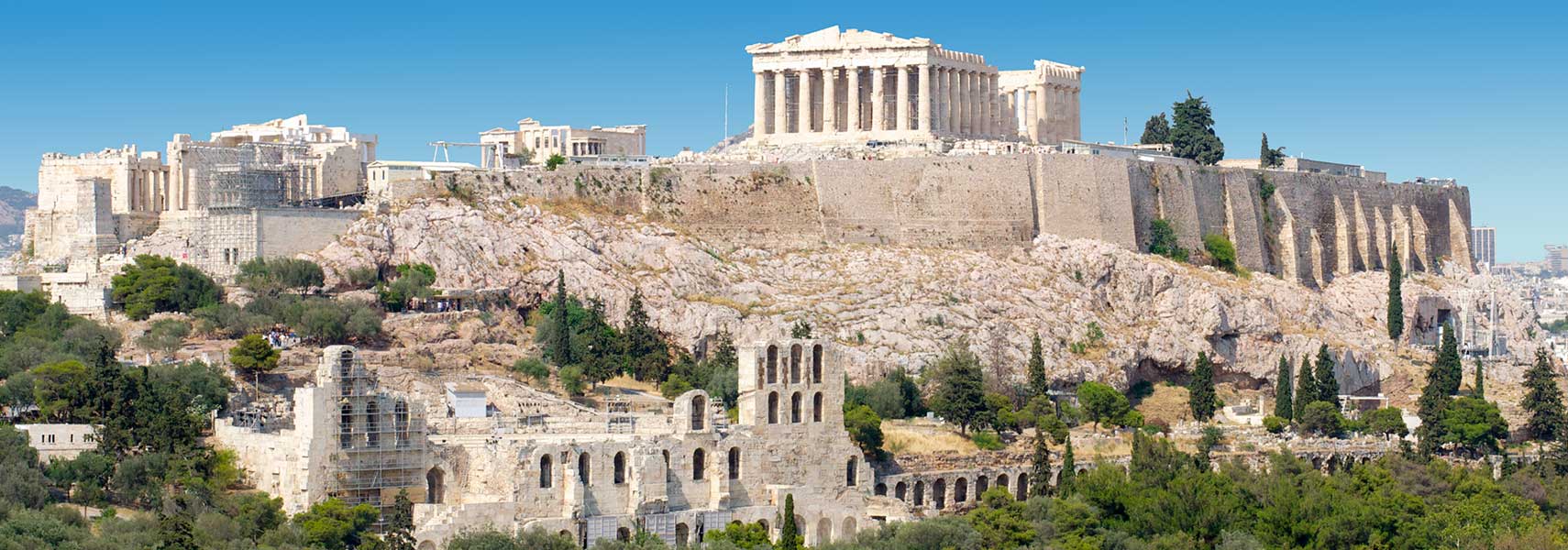 Acropolis complex in |
About the Acropolis of AthensAn acropolis is a citadel or a fortified part of an ancient Greek city, typically built on a hill. The satellite view below shows the Acropolis (literally: summit city) located in the center of the city of Athens, the capital of Greece.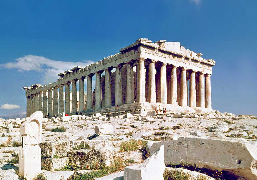 The Parthenon within the Acropolis was built between 447 BC and 438 BC, the former temple was dedicated to the goddess Athena, the patron of the city. Image: Steve Swayne Most of the now existing remains of temples were rebuilt, after the Persian Wars under the leadership of Pericles during the Golden Age of Athens (460–430 BC), the most important and powerful city during the Classical period. The Acropolis and its monuments are universal symbols of the classical spirit and civilization. They have influenced art and culture for many centuries, it is the greatest architectural and artistic complex bequeathed by Greek Antiquity to the world. Today the Acropolis temple complex is a UNESCOWorld Heritage Site. |
||
|
φ Latitude, λ Longitude (of Map center; move the map to see coordinates): , |
||
| Sorry! Google's pricing policy has made it impossible for us to continue showing Google Maps. We apologize for any inconvenience. Google Map: Annotated Satellite View of Acropolis of Athens, Greece. (Make sure 3D Buildings is checked in the Layers panel in Google Earth) |
Bookmark/share this page |
|
| previous landmark: Angkor (Angkor Wat), Siem Reap, Cambodia | next landmark: Colosseum, Rome, Italy | |
More about Greece: Landmark: Cities: Country: Continent: External Links Acropolis of Athens Hellenic Ministry of Culture article about Acropolis. UNESCO World Heritage: Acropolis Acropolis of Athens entry at UNESCO World Heritage Center. Wikipedia: Acropolis of Athens Wikipedia article about Acropolis. |
Explore more:
Related Consumer Information:
|
|
Information and searchable Maps of Cities in the Mediterranean Region: Alexandria, Algiers, Barcelona, Beirut, Benghazi, Cairo, Damascus, Florence, Istanbul, Jerusalem, Naples, Nice, Nicosia, Port Said, Rabat, Rome, Suez, Tel Aviv-Jaffa, Tripoli (Tarabulus), Tunis, Valetta, Vatican City, Venice Political Maps of Countries in the Mediterranean Region: Europe: Albania Map, Croatia Map, France Map, Italy Map, Montenegro Map, Slovenia Map, Spain Map North Africa: Algeria Map, Egypt Map, Libya Map, Morocco Map, Tunisia Map Western Asia: Cyprus Map, Israel Map, Jordan Map, Syria Map, Turkey Map Searchable Maps of Countries in the Mediterranean Region: Europe: Albania Interactive Map, Bosnia and Herzegovina, Croatia Interactive Map, France Interactive Map, Italy Interactive Map, Malta Interactive Map, Monaco Interactive Map, Montenegro Interactive Map, Slovenia Interactive Map, Spain Interactive Map North Africa: Algeria Interactive Map, Egypt Interactive Map, Libya Interactive Map, Morocco Interactive Map, Tunisia Interactive Map Western Asia: Cyprus Interactive Map, Israel Interactive Map, Jordan Interactive Map, Syria Interactive Map, Turkey Interactive Map |
||
Map Help [ show ] |
||
One World - Nations Online .:. let's care for this planet Promote that every nation assumes responsibility for our world. Nations Online Project is made to improve cross-cultural understanding and global awareness. More signal - less NOISE |
| Site Map
| Information Sources | Disclaimer | Copyright © 1998-2024:: nationsonline.org |
