Nations Online
All Countries in the World
Nations Online All Countries in the World | |
Home  |
___ Satellite View and Map of the City of Basse-Terre, Guadeloupe |
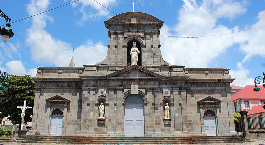 Cathédrale Notre Dame de la Guadeloupe, Basse-Terre. Image: Aristoi |
About Basse-Terre(Not to be confused with Basseterre, Saint Kitts and Nevis). Satellite view is showing the municipality of Basse-Terre, second largest town and the sleepy capital of France's Caribbean overseas département of Satellite view is showing the municipality of Basse-Terre, second largest town and the sleepy capital of France's Caribbean overseas département of Basse-Terre has a city population of about 12 000 inhabitants, 45 000 live in its urban area. Official language is French (99%), most locals also speak Creole language. 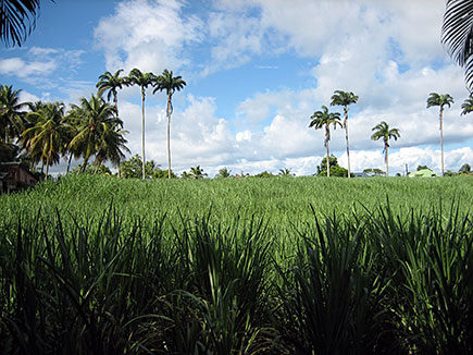 Sugar cane field and palm trees Basse-Terre, Guadeloupe. Image: bobyfume The map shows a city map of Basse-Terre with expressways, main roads and streets, zoom out to find the location of the island's primary airport Pointe-à-Pitre International Airport or Pointe-à-Pitre - Le Raizet Airport (Aéroport Guadeloupe Pôle Caraïbes, IATA code: PTP) located 62 km (38.5 mi) by road (via N1) north east of the city near Pointe-à-Pitre in the center of the island. To find a location use the form below. To view just the map, click on the "Map" button. |
|
| To find a location type: street or place, city, optional: state, country. | Local Time Guadeloupe:
Saturday-April-27 16:11
UTC/GMT -4 hours |
One World - Nations Online .:. let's care for this planet Promote that every nation assumes responsibility for our world. Nations Online Project is made to improve cross-cultural understanding and global awareness. More signal - less NOISE |
| Site Map
| Information Sources | Disclaimer | Copyright © 1998-2023 :: nationsonline.org |

