Nations Online
All Countries in the World
|
One Planet Nations Online All Countries in the World | |
Home  |
___ Satellite View and Map of the City of Basseterre, Saint Kitts and Nevis |
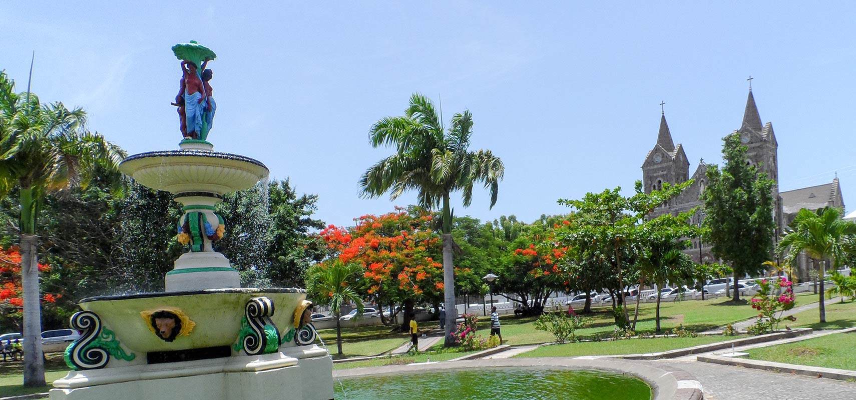
 Independence Square with fountain and Co-Cathedral of Immaculate Conception in Basseterre, Saint Kitts. Image: Gertjan R |
About Basseterre(Not to be confused with Basse-Terre, Guadeloupe). Satellite view is showing Basseterre, the capital of the Federation of Satellite view is showing Basseterre, the capital of the Federation of Basseterre was founded in 1627 by the French, it was the capital of the entire French West Indies colony, which included the islands of Guadeloupe and Martinique until 1660. Today the city has a population of about 15,500 inhabitants. Official language is English. Some Points of interest: Frigate Bay (bays), Brimstone Hill Fortress National Park (a 17th-century well-preserved fortress and a UNESCO World Heritage Site The map shows a city map of Basseterre with expressways, main roads and streets, zoom out to find the location of Robert L. Bradshaw International Airport, the Golden Rock Airport (IATA code: SKB). To find a location use the form below. To view just the map, click on the "Map" button. |
||
| To find a location type: street or place, city, optional: state, country. | Local Time Saint Kitts and Nevis:
Wednsday-April-17 21:26
Standard time zone: Atlantic Standard Time (AST); UTC/GMT -4 hours |
|
One World - Nations Online .:. let's care for this planet Promote that every nation assumes responsibility for our world. Nations Online Project is made to improve cross-cultural understanding and global awareness. More signal - less NOISE |
| Site Map
| Information Sources | Disclaimer | Copyright © 1998-2023 :: nationsonline.org |