Nations Online
All Countries in the World
|
One Planet Nations Online All Countries in the World | |
 |
___ Satellite View and Map of the City of Manila (Maynilà), Philippines |
 The skyline of Manila, it is the modern face of this bayside city Image: Mike Gonzalez |
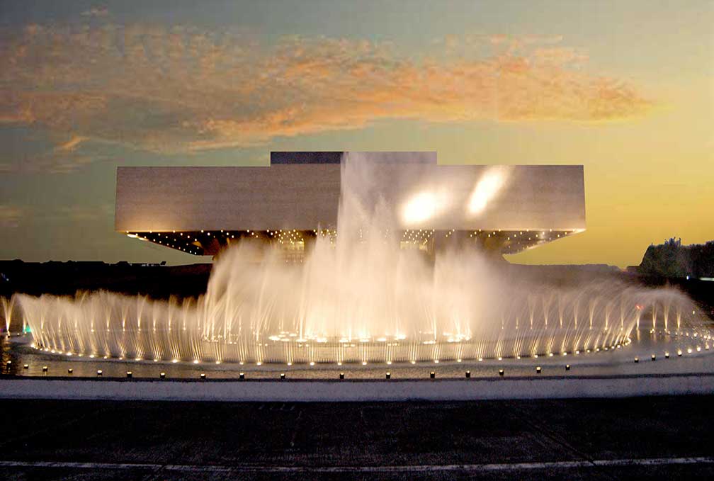
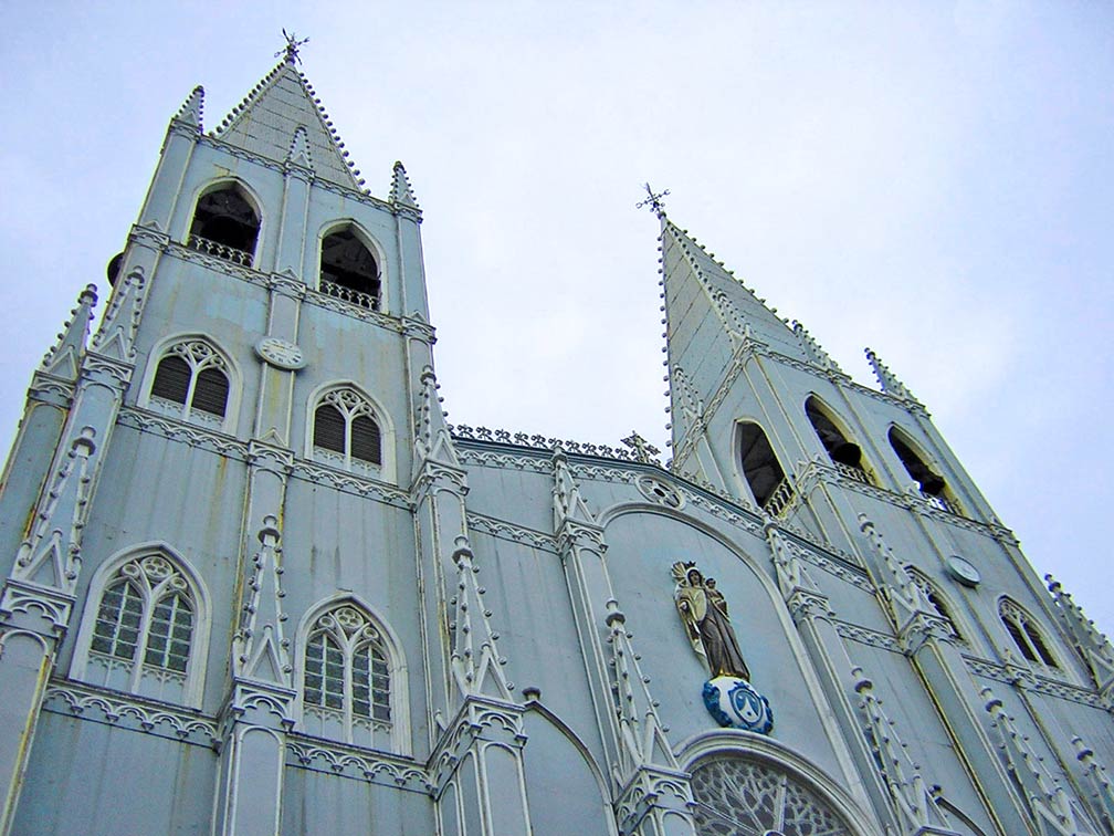
About Manila Satellite view is showing Manila, the national capital of the Satellite view is showing Manila, the national capital of the The city is located on the island of Luzon, the largest and most populous island in the Philippines, at the estuary of the Pasig River, which flows into Manila Bay.  Cultural Center of the Philippines, Pasay (Manila), Manila's venue for state of the art performances and exhibitions. Image: © Visit Philippines In the mid-16th century, the area were ruled by native rajahs. Rajah Matanda and his nephew, Rajah Sulayman ruled the Muslim communities south of the Pasig River, including the Kingdom of Maynila, while Rajah Lakandula reigned the Kingdom of Tondo north of the river, until the arrival of Spanish colonizers in the 16th century. With the Spanish came Catholic missionaries, they established the Diocese of Manila in 1579. Today Manila is one of the sixteen cities which make up Metro Manila, known as the National Capital Region. The metropolis is bordered to the west by Manila Bay, a natural harbor, to the east by Laguna de Bay (light blue, the largest lake in the Philippines). Lake Taal (Lake Bombon (dark blue)), with its complex volcanic system lies to the south. Today Manila has a city population of more than 1.78 million inhabitants (census 2015), more then 12.87 million people live in the metropolitan area (the National Capital Region). Spoken languages are Filipino and English. Largest city in Metro Manila, in population and land area is Quezon City, one of the former capitals of the Philippines (1948-1976). Manila Points of Interest  Basílica Menor de San Sebastián at Plaza del Carmen in Quiapo, Manila, it is the only all-steel church in Asia. Image: Jhun80 San Agustin Church, constructed between 1586 and 1607 within Intramuros, it is one of the four Baroque Churches of the Philippines Rizal Park, better known as Luneta, one of the largest urban parks in Asia, the historical park is located along Roxas Boulevard, adjacent to the old walled city. Malacañang Palace, official residence of the President of the Philippines. The National Museum of the Philippines (showcasing Filipino heritage, the National Museum operates the National Museum of Fine Arts, National Museum of Anthropology, National Museum of Natural History, and the National Planetarium). Star City (popular amusement park). Coconut Palace (government building made of coconut lumber and coconut shells). The map shows a city map of Manila with expressways, main roads and streets, Ninoy Aquino International Airport (IATA code: MNL) is located 12 km (7.5 mi) by road (via R-1) south of Manila. To view just the map, click on the "Map" button. |
|
| To find a location type: street or place, city, optional: state, country. |
Local Time Philippines:
Thursday-April-25 09:49
Time zone: Philippine Time (PHT) UTC/GMT +8 hours |
|
φ Latitude, λ Longitude (of Map center; move the map to see coordinates): , |
||||||
| Sorry! Google's pricing policy has made it impossible for us to continue showing Google Maps. We apologize for any inconvenience. Google Map: Searchable map/satellite view of Manila, Philippines. City Coordinates: 14°35′N 120°58′E |
Bookmark/share this page
|
|||||
| More about the Philippines: Cities: Country: Philippines key statistical data. Continent: |
Current Weather Conditions Manila: External Links: City of Manila Official Website of the City of Manila. Manila News Net Local news. Wikipedia: Manila Wikipedia entry Manila. |
Related Consumer Information:
|
||||
Other Major Cities in South East Asia: Bandar Seri Begawan, Bandung, Bangkok, Hanoi, Ho Chi Minh City (Saigon), Jakarta, Johor Bahru, Kuala Lumpur, Medan, Phnom Penh, Surabaya, Singapore, Vientiane, Yangon Searchable Maps of other Countries in South East Asia: Brunei, Cambodia, Indonesia, Laos, Malaysia, Myanmar (Burma), Philippines, Singapore, Thailand, Vietnam |
Map Help [ show ]  |
One World - Nations Online .:. let's care for this planet Promote that every nation assumes responsibility for our world. Nations Online Project is made to improve cross-cultural understanding and global awareness. More signal - less NOISE |
| Site Map
| Information Sources | Disclaimer | Copyright © 1998-2023 :: nationsonline.org |